Home A - Z FAQ Bookstore Art Prints Online Library Discussion Forum Muir Weather Maps Lodging About Search
CalHotels.US--online reservations now CalHotels.US Lowest Hotel Rates Guaranteed. Click Here For Yours!
Hotel photos, maps, reviews, & discount rates.

U.S. Hotels in California (Yosemite, L. A., San Francisco ), AL, AK, AR, AS, AZ, CA, CO, CT, DC, DE, FL, FM, GA, GU, HI, ID, IL, IN, IA, KS, KY, LA, ME, MD, MA, MI, MN, MS, MO, MT, NE, NH, NJ, NY, OK, NV, MH, MP, NM, NC, ND, OH, OR, PA, PR, PW, RI, SC, SD, TN, TX, UT, VT, VA, VI WA, WV, WI, WY

[Yosemite]

3 night yosemite trip next week??

Hiking, backpacking, running, biking, climbing, rafting, and other human-powered activities in Yosemite National Park

Moderators: Wickett, dan

3 night yosemite trip next week??

Postby midwesthiker » Tue May 11, 2010 1:15 pm

Hi everyone, my friends and I had planned to do a 4 day 3 night trip next wed - sat. We were planning on doing a trip that looks something like the old big oak flat road trailhead to cascade creek, then along north rim past el capitan, yosemite falls to snow creek falls, then back down to valley. We are worried about the snow right now. Has anyone been out there recently? Is this trip doable right now? What are the conditions? Any other trip suggestions if this is not a good idea right now?

Thanks for your help!
midwesthiker
Newbie
Newbie
 
Posts: 8
Joined: Sun Dec 20, 2009 9:33 pm

Postby hotrod4x5 » Tue May 11, 2010 1:26 pm

I was there two weeks ago and it snowed on the valley floor, which means on the rim they got at least another foot if not more. I would call the valley ranger station and ask about trail conditions, it might be too early.
hotrod4x5
Veteran-poster
Veteran-poster
 
Posts: 217
Joined: Tue May 11, 2010 9:37 am
Location: Riverside, CA

Postby bill-e-g » Tue May 11, 2010 2:21 pm

I went all the way to Ribbon Fall 3 weekends ago.
100% snow coverage after Cascade Crk.
At this time of year you will not enjoy crossing Tamarack.
Might not enjoy Coyote either... or Ribbon...

As I told you in the other thread you started ... go up the Merced.
Keep going... turn around... come back... first time.. classic Yosemite.

Ribbon Creek is screaming now... Tamarack Creek is screaming...
Eagle Peak Meadows will be a mosh pit.

Regarding calling the ranger station. Always not a bad idea.
You have to realize the info they get at many times is subject to
what people going out come back and tell them.

But I'll say it again... just go up the Merced. Go as far as your heart
desires... then turn around and come back.
If you go any other way right now you probably will hit boatloads of snow.

El Cap still had snow on the top of it last weekend...
User avatar
bill-e-g
Veteran-poster
Veteran-poster
 
Posts: 795
Joined: Tue Jun 24, 2008 5:57 am
Location: Table Lake, YNP

Postby bill-e-g » Tue May 11, 2010 2:25 pm

Maybe this will help.
From Saturday May 8.

Image
User avatar
bill-e-g
Veteran-poster
Veteran-poster
 
Posts: 795
Joined: Tue Jun 24, 2008 5:57 am
Location: Table Lake, YNP

Postby hotrod4x5 » Tue May 11, 2010 2:26 pm

Where was that taken?
hotrod4x5
Veteran-poster
Veteran-poster
 
Posts: 217
Joined: Tue May 11, 2010 9:37 am
Location: Riverside, CA

Postby AlmostThere » Tue May 11, 2010 3:50 pm

In the vicinity, if not on, Half Dome, looking at Glacier Point. bill doesn't balk at snow.

Diving board?
AlmostThere
Veteran-poster
Veteran-poster
 
Posts: 2077
Joined: Fri May 15, 2009 6:57 pm
Location: Central Valley California

Postby Dave Miller » Tue May 11, 2010 4:36 pm

I concur with Bill. Head up the Merced past LYV. It is one of my favorite places in all of Yosemite. I was there two years ago in June and the river was magnificent!
Dave Miller
Very frequent poster
 
Posts: 73
Joined: Thu Apr 23, 2009 3:45 pm
Location: Bay Area

Postby bill-e-g » Tue May 11, 2010 4:49 pm

It's from the Diving Board.

The falls are REALLY going right now. Will be for some time.
User avatar
bill-e-g
Veteran-poster
Veteran-poster
 
Posts: 795
Joined: Tue Jun 24, 2008 5:57 am
Location: Table Lake, YNP

Postby midwesthiker » Tue May 11, 2010 8:36 pm

Thanks for the advice. We are looking at the Merced route. I think the passes are all sold out - but hopefully we can get some of the ones they don't presell.
midwesthiker
Newbie
Newbie
 
Posts: 8
Joined: Sun Dec 20, 2009 9:33 pm

Postby hotrod4x5 » Tue May 11, 2010 8:54 pm

bill-e-g wrote:It's from the Diving Board.

The falls are REALLY going right now. Will be for some time.
Do you know of a link with a trail description/location for getting to the Diving Board?
hotrod4x5
Veteran-poster
Veteran-poster
 
Posts: 217
Joined: Tue May 11, 2010 9:37 am
Location: Riverside, CA

Postby bill-e-g » Tue May 11, 2010 10:13 pm

You can just go there and follow ducks.... and flounder around...
(been there... done that)

The descriptions I have seen on summitpost and other places are not the
quickest way to the Snake Dike and Diving Board IMO. There may be
really good descriptions somewhere but I know of these:

You can look also here:
http://yosemitenews.info/forum/read.php?1,9251,page=1

and here:
http://www.whitneyportalstore.com/forum ... #Post53868

and here:
http://yosemitenews.info/forum/read.php?3,24825

Or I can describe it again.
Or I can do you one better and send you a GPS track of the
quickest way up. There's some definite exposure though.
Class 3 for sure.

PM me if u want the GPS track of 100% the quickest way and
on the "trail" from LYV.
Quickest way from valley is up Mist and then between Lib and
Brod to Lost Lake then same as from LYV from there.

QITNL has gone up the Snake Dike afaik....
maybe he can say more if he likes... ???

100's of people go up the Snake Dike every year. It's a well worn "path".
User avatar
bill-e-g
Veteran-poster
Veteran-poster
 
Posts: 795
Joined: Tue Jun 24, 2008 5:57 am
Location: Table Lake, YNP

Postby hotrod4x5 » Wed May 12, 2010 5:44 am

Thanks Bill, no you don't have to describe it again, links are fine with me. If I decide to go, I will PM you for the GPS tracks, thanks for the offer.
hotrod4x5
Veteran-poster
Veteran-poster
 
Posts: 217
Joined: Tue May 11, 2010 9:37 am
Location: Riverside, CA

Postby QITNL » Fri May 14, 2010 1:06 pm

Sorry, haven't been around here for a bit. I was reading bill-e-g's post, thinking, yeah I'd like to so see this GPS track, and then I see he mentions me.

Maybe the track comes from this image:
http://picasaweb.google.com/dale.dekeys ... 8056587698

Yep, that looks pretty accurate - the various routes that wander - take your pick.

Here's another good map:
http://www.summitpost.org/image/187427/ ... rview.html

To follow the long route (not the summer shortcut), take the north fork at the LYV split, go about 100 yards looking up to the left. The trail is easy to follow all the way past Lost Lake. There you hit the slabs/talus and cairn hell. It's tempting to follow a set that stay low, curling west, but later you will pay for it. Or you can head straight up, but don't go too far - another set of cairns mark the approaches to HD's south face routes. I'd aim like this: go about 3/4 of the way up the right side of the slabs until you find the easiest way across, which looks like this:
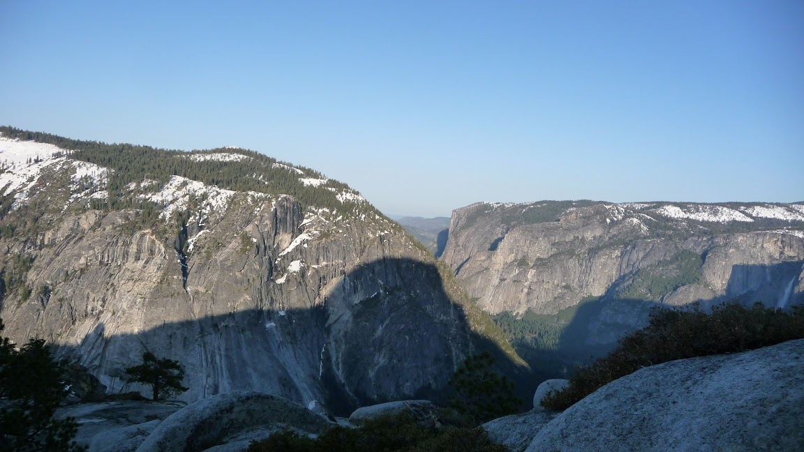
http://yosemitenews.info/forum/read.php ... 1#msg-9261

Once you past that stretch it's just a slog.

A couple of weeks back we were looking at LeConte Gully, just north of Grizzly Peak. It was a little too wet/slippery for us to finish and chossy all the way. But I want to try again when it's dry, it could be a fun and spicy shortcut. Apparently that was used as an approach BITD.
QITNL
Frequent poster
Frequent poster
 
Posts: 36
Joined: Mon Jun 08, 2009 1:09 pm

Postby bill-e-g » Fri May 14, 2010 2:50 pm

QITNL,
The track you mention was the wife and my first attempt up it.
We didn't know exactly how to go and all and ended up flopping
around. Even when we knew it was the trail we ended up
backtracking on account we had backpacks.
Here's the jaunt up there from couple weekends ago when I
went up there and down to Grizz. Pk and back.
http://picasaweb.google.com/yosemite.ch ... iveOnBoard
pic. 49 shows the route.
Def. want to try the Gully up. That's LeConte gully?
That's the way Ansel Adams went up to the Board...

Might try it the 22nd. We'll see...

Do you have a route up Sunnyside Bench? You go me intrigued in that
but it'll be awhile before I do that... maybe late fall.
User avatar
bill-e-g
Veteran-poster
Veteran-poster
 
Posts: 795
Joined: Tue Jun 24, 2008 5:57 am
Location: Table Lake, YNP


Return to Yosemite Hiking & Backpacking

Who is online

Users browsing this forum: No registered users and 226 guests