Map of CCC camp no. 1, Wawona, 1934.
NPS, Denver Service Center files.
[click to enlarge]
| Online Library: | Title | Author | California | Geology | History | Indians | Muir | Mountaineering | Nature | Management |
Yosemite > Library > Yosemite Resources > Chapter VI: National Park Service Administration, 1931 to Ca. 1960 >
Next: 7: Historical Resources • Contents • Previous: 5: NPS 1916-1930: Mather Years
A. Overview 731
1. Stephen Mather Steps Down 731B. Roads, Trails, and bridges 758
2. Public Works Programs Aid Completion of Park Projects 732
3. The Dissolution of Emergency Relief Projects Severely Impacts Park Conditions 750
4. MISSION 66 Revives Park Development 752
1. Trail Construction in the early 1930s Results in Completion of John Muir Trail 758C. Construction and Development 802
2. Reconstruction of Park Roads Begins in early 1930s 762a) Paving and Tunnel and bridge building Commence 762
b) Tioga Road 762
c) Wawona Road and Tunnel 763
d) Yosemite Valley bridges 769
e) Glacier Point Road 769
f) Big Oak Flat Road 771
g) Trail and Road Signs 771
h) Bridge Work Precedes Flood of 1937 778
i) North Valley Road Realignment Considered 784
j) Completion of New Big Oak Flat Road 785
k) Bridge Work Continues in the 1940s 785
I) Flood of 1950 795
m) Completion of the Tioga Road 796
n) Flood Reconstruction Work Continues 797
o) MISSION 66 Provides Impetus for New Big Oak Flat Entrance Road 802
1. Season of 1931 803D. Concession Operations 884
2. Season of 1932 811
3. Season of 1933 815
4. Season of 1934 824
5. Season of 1935 839
6. Season of 1936 850
7. Season of 1937 851a) General Construction 8518. Season of 1938 855
b) Flood Damage 852
c) New CCC Cascades Camp Constructed 853
9. Seasons of 1939-40 859
10. Period of the Late 1940s 871
11. The 1950s Period Encompasses Many Changes 872
1. The National Park Service Acquires Wawona Basing 884E. Patented Lands 917
2. Big Trees Lodge 894
3. Chronology of Later Yosemite Park and Curry Company Development 895a) Company Facilities Need Improvement 895
b) Winter Sports Move to Badger Pass 901
c) Limited Construction Occurs 902
d) High Sierra Camps Continue 903
e) the U. S. Navy Takes over the Ahwahnee Hotel 904
f) The Curry Company Begins a New Building Program 905
1. Remaining in 1931 917F. Hetch Hetchy 948
2. Yosemite Lumber Company 922
3. Section 35, Wawona 923
4. Camp Hoyle 931
5. Hazel Green 931
6. Carl Inn 932
7. Foresta 932
8. Big Meadow 937
9. White Wolf 938
10. Soda Springs 939
11. Tioga Mine 944a) Renewal of activity 94412. MISSION 66 Provides Impetus for Land Acquisition 947
b) Mine ruins 946
1. O’Shaughnessy Dam Raised 948G. Yosemite Valley Railway 961
2. Hetch Hetchy Railroad Revived 949
3. Construction and Security, 1930s-1950s 961
1. River and Stream Control 967J. Fish and Game 981
2. Fire Control 974
3. Grazing 975
4. Insect Control 977
5. Blister Rust Control 979
1. Stephen Mather Steps Down
The period covered by this chapter offered strong challenges and an exciting future to the National Park Service. After struggling to build a foundation for America’s park system based on sound policies and broad principles of resource conservation and park protection during the difficult years of World War I and its aftermath, the Park Service was well on the way to achieving its desired goals when two potentially devastating events took place.
In January 1929 Stephen Mather stepped down as director of the Park Service due to ill health, which resulted in his death in January 1930. The loss dealt a severe blow to the park system in America to which Mather had contributed so much time, effort, and money in an attempt to establish a solid and organized management system with a clear philosophical direction. Fortunately, Mather’s ideals and basic policies continued under Horace Albright, who, because of his long tenure with the Park Service, dating from before Mather’s time, and years of assisting Mather, made him practically a co-founder of our present National Park System.
Having functioned as Mather’s assistant for so many years in addition to serving as superintendent of Yellowstone for ten years, Albright could smoothly continue building on the achievements of the early Mather years. He was knowledgeable in governmental affairs and well-known and respected in Washington’s political arena. Of great benefit to his work was the fact that the park idea had become solidly entrenched in the American consciousness. Albright also enjoyed the support of Interior Department officials and the aid of a first-class staff in the Washington office and in the field. During his four-year tenure as director, Albright enlarged nine of the national parks, including Yosemite, and also gained three additional parks as well as several national monuments.
The biggest challenge facing Albright almost immediately involved the economic and social crises occasioned by the American stock market crash and the arrival of the Great Depression. With organizational skill and a masterful grasp of problems and solutions, Albright successfully guided the National Park System through this critical period and into the early part of the New Deal. Albright assumed the Park Service directorship just as Herbert Hoover was assuming the office of President of the United States. During Hoover’s administration the pall of the depression spread over the country, manifesting itself in long food lines, abandoned factories and businesses, rampant unemployment, and bank closures. The nation seemed headed toward complete devastation, with no means in sight of alleviating the distress.
2. Public Works Programs Aid Completion of Park Projects
In 1933, however, Franklin Delano Roosevelt became President and immediately proposed a revolutionary legislative and social program designed to ameliorate the country’s economic situation. Between 9 March and 16 June 1933, Roosevelt proposed fifteen emergency acts destined to dramatically affect the nation’s social and political institutions for years to come. Elated at being presented with constructive legislation, Congress passed them immediately.
Roosevelt’s first concern involved the rampant unemployment in the country, especially among young people who remained unable to find jobs and who were gradually becoming embittered at their fate. Roosevelt perceived that family incomes had to be restored and the morale of young Americans raised at the same time. In his first hundred days in office Roosevelt introduced the idea of a Civilian Conservation Corps (CCC), a program stimulated by his interest in forestry and conservation. The CCC work program, directed by the Emergency Conservation Work organization, received top priority in the early New Deal period. The act establishing the CCC became law on 31 March 1933, enabling the government to take thousands of unemployed young men off the streets and provide them with jobs and a cash allowance, in addition to board, medical attention, educational opportunities, and practical job training. In return, the men performed needed work in America’s federal and state forests and parks.
As the Interior Department’s representative on the CCC Advisory Council, a body composed of representatives of the departments of War, Labor, Interior, and Agriculture, Director Albright immediately began compiling estimates for road and trail work, physical construction, and forest protection and cleanup in the national parks. Because each park already had a master plan for development work, the Park Service was better prepared than most agencies to begin projects immediately.1 The council in the early weeks of the New Deal helped set up the CCC organization and programs and determine the role of participating agencies. The Department of Labor would select the CCC candidates, the army would transport the men to the camps, feed and clothe them, carry out their physical conditioning, maintain morale, and generally handle all camp matters, while the agencies of the departments of Interior and Agriculture for which the men worked would have technical supervision of them during work details.2
[1. Master plans are comprehensive land plans containing basic data relevant to specific park areas. They consist of maps and documentation describing the natural and cultural features, engineering aspects, road systems, -forest fire protection, maintenance problems, and all development that needed to be considered in planning for the area’s protection and public use. Conrad L. Wirth, Parks, Politics, and the People (Norman: University of Oklahoma Press, 1980), 58.]
[2. James F. Kieley, CCC: The Organization and Its Work (Washington: Government Printing Office, 1938), 6-7.]
The federal government never considered the CCC a permanent measure, although many who saw its benefits, including Roosevelt, pushed for its continuation as a permanent organization. Entirely financed by emergency funds, it was organized within weeks, the Park Service having seventy camps in full operation by 30 June. The peak of CCC growth came in 1935 when more than 2,500 camps operated. The number gradually decreased up to World War II.3
[3. Wirth, Parks, Politics, and the People, 105; Kieley, CCC, 14.]
The emergency legislation passed in Roosevelt’s first hundred days, providing massive amounts of money and labor, enabled the Park Service to launch several long-term development projects that had been slowly dying for lack of money. The park projects undertaken were selected from each park’s development program. The CCC initiated the largest construction program ever undertaken in Yosemite, but other emergency and relief programs of benefit to the park were also enacted during the New Deal period. Civil Works Administration (CWA) activities took place between November 1933 and April 1934. This program also functioned as an emergency unemployment relief program, created to offset the lull in the business revival of mid-1933 and to soften economic hardships during the winter of 1933-34. It employed men and women in park development projects and used skilled workers as well as artists, painters, sculptors, and draftsmen.
The Public Works Administration (PWA) assumed the continuation of road and trail construction and other physical improvements and, because it necessitated topographical surveys, landscape studies, and wildlife protection policies, provided work for engineers, landscape architects, artists, and scientists. Beginning in 1935, the Park Service cooperated with the Works Progress Administration (WPA) established by the Emergency Relief Appropriation Act of 1935, assuming responsibility for techncial supervision of its programs, involving resource conservation and recreational development. Although most of its projects needed manual laborers, arts projects enabled hiring of writers, actors, musicians, and artists. At the start of 1937, the various public works programs undertaken within the National Park System consolidated as Emergency Relief Act 4 Projects until 1941, when public works appropriations began to dwindle.4
[4. Harlan D. Unrau and G. Frank Williss, Administrative History: Expansion of the National Park Service in the 1930s (Denver: National Park Service, 1983), 94-101.]
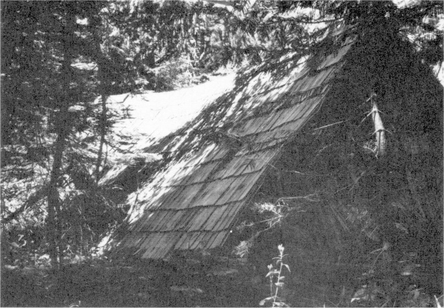
The CCC, however, remained the largest conservation movement in history. Yosemite’s CCC camps were among the first organized in the West, beginning operations on 6 June 1933. The park hosted several camps, at Crane Flat, Eleven-Mile Meadow, and Wawona, and later at Empire Meadow, Tamarack Flat, and The Cascades.5 The Park Service located its CCC camps near the work project areas, preferably near railroads or highways and water sources, and in close proximity to lumber and other building materials. The earliest camps consisted of army tents, which were gradually replaced by more substantial, but still temporary, wooden buildings. By 1934 the army had designed a prefabricated structure with interchangeable panels that could be easily erected and transported and could serve multiple purposes. The army mass produced these by 1935.
[5. “Camp Boys Build Trails and Help Improve Park,” Mariposa (Calif.) Gazette, Yosemite Valley edition, 81, no. 1: 12.]
Camps usually formed a U shape and contained recreation halls, a garage, a hospital, administrative buildings, a mess hall, officers’ quarters, enrollee barracks, and a schoolhouse. The space enclosed by the buildings served for group functions and sports. The wooden exteriors of the buildings were painted brown or green, creosoted, or covered with tar paper. In 1939, specific structures to be included in CCC camps consisted of barracks, a mess hall and kitchen, Technical Service quarters, officers’ quarters, a Technical Service Headquarters and storehouse combined, army headquarters and storehouse combined, a recreation building, a dispensary, a bathhouse, a latrine, garages, an oil house, a pump house, a generator house, a blacksmith shop, an educational building, and an equipment repair and maintenance building. Spike or stub tent camps sometimes sprang up separate from the main camp when a specific job too distant from the main for easy daily travel had to be completed or during fire hazard times so that the men could keep a close watch on forest conditions.6
[6. John C. Paige, The Civilian Conservation Corps and the National Park Service, 1933-1942: An Administrative History (Washington: National Park Service, 1985), 70-72, f n. 8; 73.]
The first work of CCC enrollees in Yosemite consisted of forest cleanup and improvement, roadside clearing, construction of horse trails, erection of telephone lines, construction of two egg-taking stations, development of public campgrounds, creek and river erosion control, sloping and planting of cut banks and road fills, insect control, and other forestry work such as removal of undesirable plants and revegetation.7
[7. Superintendent’s Monthly Reports, January-December 1933, microfilm rol #2, Yosemite Research Library and Records Center, 26-32.]
Emergency Conservation Work in the national parks and forests in general included the above work plus the construction and maintenance of fire breaks, campground clearing, trail clearing, construction of fire- and recreation-related structures, road and trail building, forest fire suppression, survey work, plant eradication, bridge building, flood control, tree disease control, and landscaping.8 Prior to ECW, forest fires had posed the gravest threat to the parks, but the Park Service had always lacked sufficient fire fighting personnel and had been unable to implement fire protection programs in each park. Civilian Conservation Corps personnel managed to reduce park fire losses tremendously beginning in the first nine months of 1933. The men not only located and suppressed fires, but constructed fire towers and telephone lines as well as roads, trails, and other firebreaks. The following year, refinements were made to park fire fighting programs and specific enrollees were selected for fire protection training. In general, each park’s fire protection plan became better implemented by use of ECW enrollees.9 All CCC work in natural areas of the National Park System was planned and overseen by landscape architects, park engineers, and foresters.10
[8. Paige, Civilian Conservation Corps, 18.]
[9. Ibid., 98-99.]
[10. Unrau and Williss, Expansion of the National Park Service, 81]
In 1935 the Park Service Branch of Forestry began publishing circulars on various aspects of fire fighting and forest conservation to guide ECW supervisors. Civilian Conservation Corps camps not only suppressed fires on Park Service lands, but began to cooperate in the protection of adjacent forests. In 1936 the Branch of Forestry requested ECW regional offices to send descriptions of each park’s fire fighting program to Washington to be reviewed and evaluated so that effective training programs could be developed. Yosemite ultimately gave fire suppression training to all enrollees but designated small groups as primary fire fighting teams. Fire protection training increased in 1937 and resulted in another sharp reduction in fire loss in the national parks. Fire fighting training increased in 1938 with fire fighting schools established nationwide.11 Although the Park Service continued to receive regular appropriations for fire protection and forest preservation during these years, they were insufficient and had to be supplemented by CCC funds.
[11. Paige, Civilian Conservation Corps, 99-101.]
The ECW/CCC also waged an intense battle against insects and disease. As early as 1932, Albright had requested emergency funding for a five-year program to combat pine beetles threatening timber stands in several of the western parks. Infestations of mountain pine and bark beetles were brought under control by the ECW in portions of Yosemite in 1933, after enrollees succeeded in destroying egg masses and cocoons of
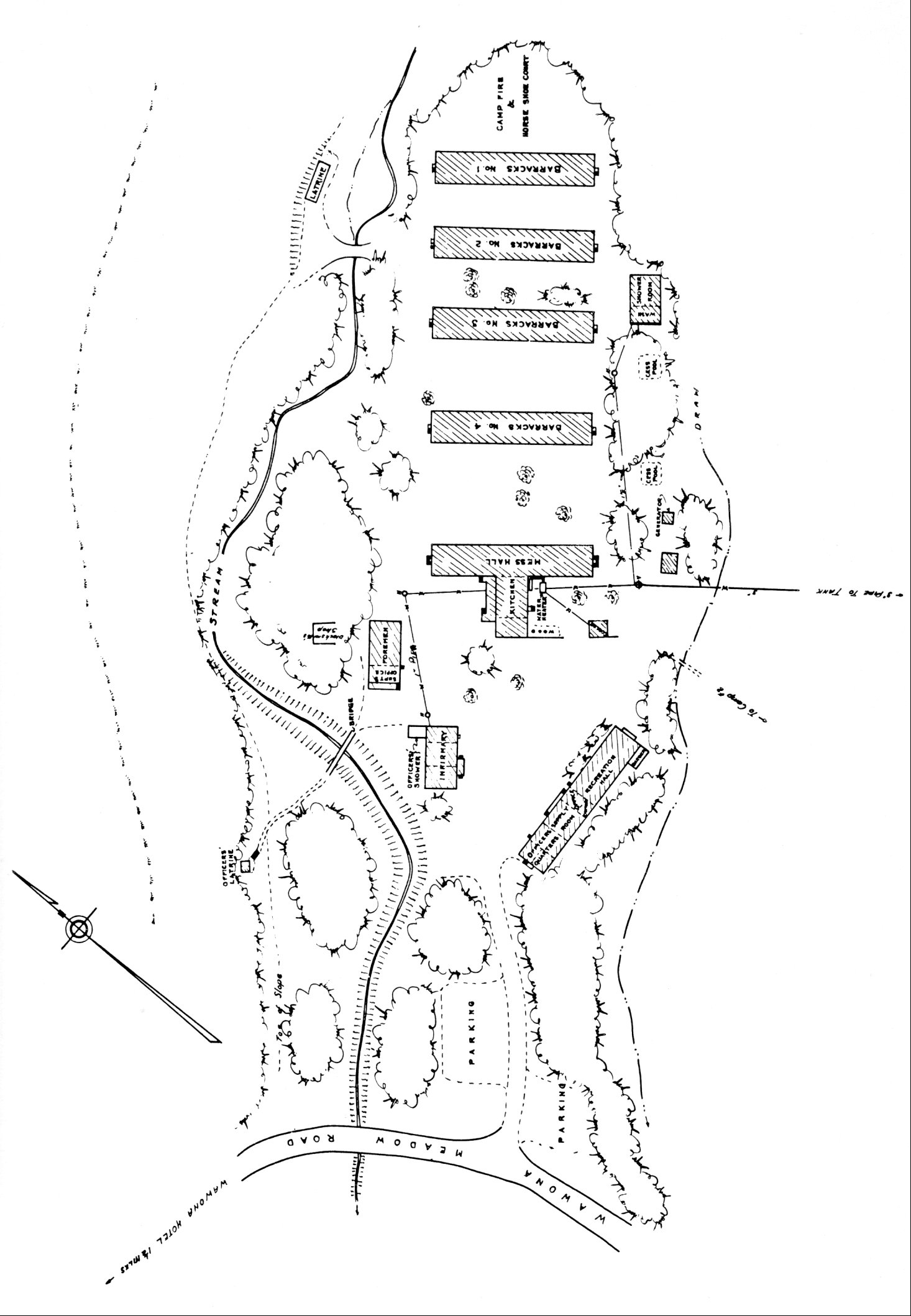
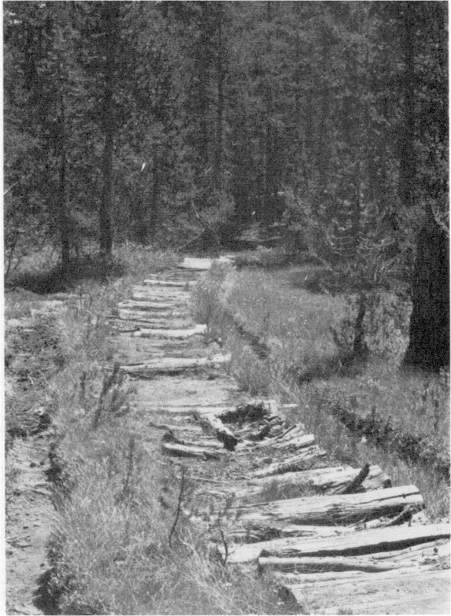
|
Illustration 135.
Map of CCC camp no. 1, Wawona, 1934. NPS, Denver Service Center files. |
|
[click to enlarge] |
[12. Ibid., 101-103.]
Because of some fears that the size and scope of ECW work and the make-work aspects of some of the other programs threatened the preservation policies of the Park Service and could result in damage to wildlife habitat, Director Albright placed certain restrictions on ECW activities. For instance, to prevent the removal of ground cover needed by wild animals, Albright insisted that underbrush and ground cover sufficient for small bird and mammal habitat be retained and clearing done only to the extent of removing serious fire hazards. The threat posed to park values by the introduction of exotic vegetation and artificial landscaping was assessed, with the result that a Department of the Interior manual on ECW work specified the use of native plants except in special cases. At Yosemite, then, revegetation consisted of sowing and transplanting native plant species along roadsides. Overdevelopment through new truck trails that provided access to primitive areas posed another danger. The Wildlife Division of the Park Service by the mid-1930s was feeling increased demand for scientific investigations and supervision of ECW projects involving conservation because of the perceived need to determine the impacts of those projects on wildlife and the natural environment. From the beginning of the ECW program until the end of 1935, an enlarged staff of biologists, foresters, geologists, and other specialists participated in making vegetation maps and conducting biological studies on birds, fish, and mammals at various parks, including Yosemite.13
[13. Ibid., 103-109.]
|
Illustration 136.
Map of CCC camp no. 2, Wawona, 1934. NPS, Denver Service Center files. |
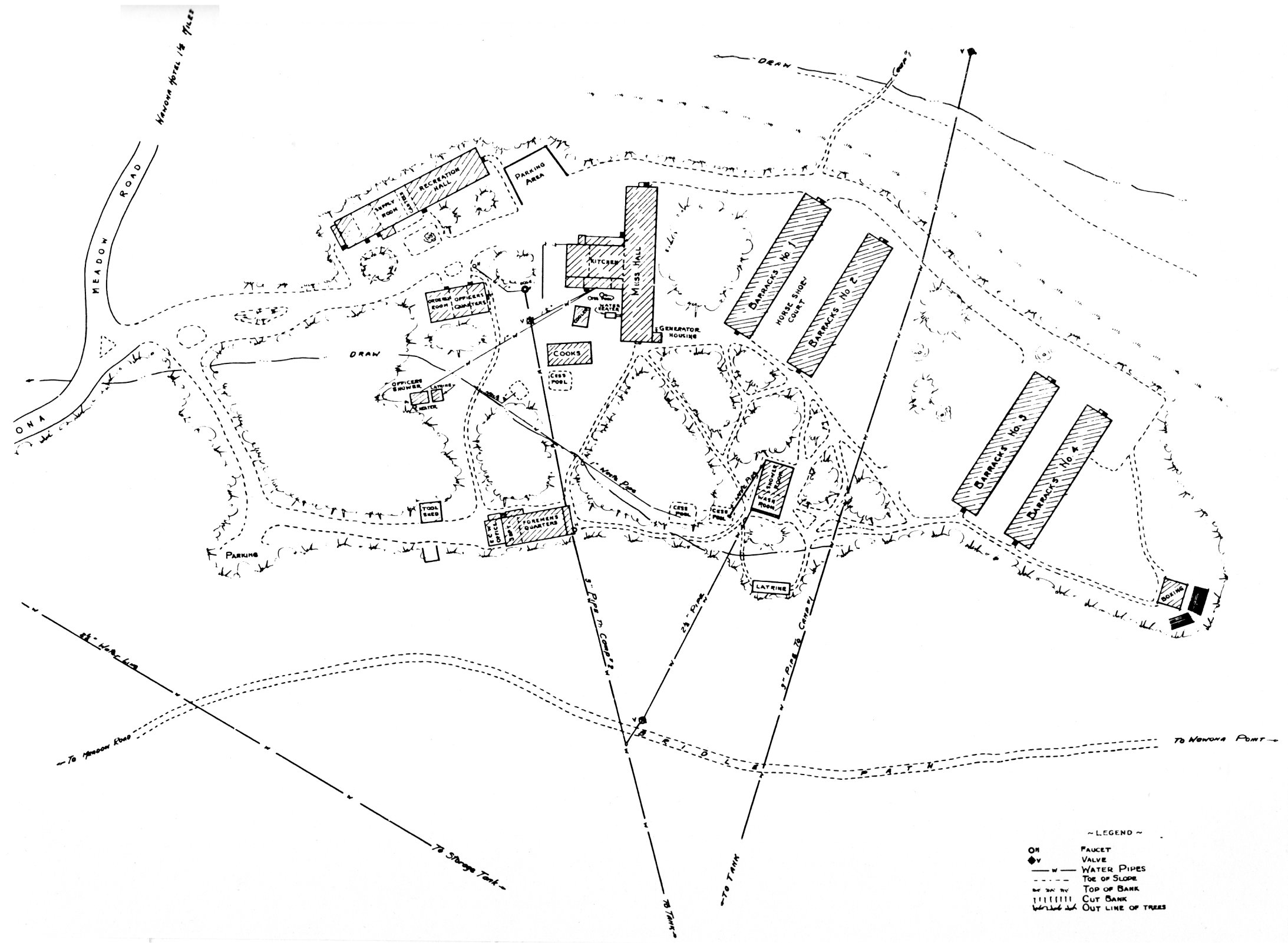
[click to enlarge] |
Altogether, New Deal emergency projects increased the National Park Service budget by nearly $218,000,000, which underwrote most of the Park Service expansion and development projects of the 1930s. In sum, those programs, and the CCC in particular, improved the morale of America’s unemployed; provided education and practical job training to thousands of young men; enlarged the state parks system; advanced the national reforestation program; strengthened forest fire protection systems; advanced a nationwide erosion control and soil conservation program; assisted reclamation; increased recreational opportunities in forests and parks; promoted national interest in wildlife conservation by expanding fish hatcheries, improving streams and lakes, building rearing ponds, and restocking streams; aided grazing; and constructed thousands of bridges, service buildings, and other structures.14 It has been determined that the CCC advanced forestry and development in the national parks by at least ten to twenty years.
[14. Kieley, CCC, 44-46.]
The United States declared war on Japan on 8 December 1941 and on Germany and Italy on 11 December. Immediate mobilization and national defense preparations forced a reduction in CCC camps beginning in April 1941, which resulted in a reduction in the number of camps allocated to the Park Service. The termination of emergency programs was accompanied by a loss of park staff and CCC personnel, as enrollees began leaving for higher paying defense industry work or for military service, while their officers were being recalled for military duty. In addition, gas rationing cut park travel drastically. Park development maintenance, and repair fell to an all-time low as the Park Service terminated all CCC projects not directly related to the war effort. The final steps were then begun to reduce and eventually eliminate the CCC. The final decision to liquidate it was made on 30 June 1942 with enactment of the Labor-Federal Security Administration Appropriation Act for fiscal year 1943. During fiscal year 1942, camps were cut back, the CCC to be
|
Illustration 137.
Sketch of Merced Grove CCC camp, 1935. Yosemite National Park Research Library and Records Center. |
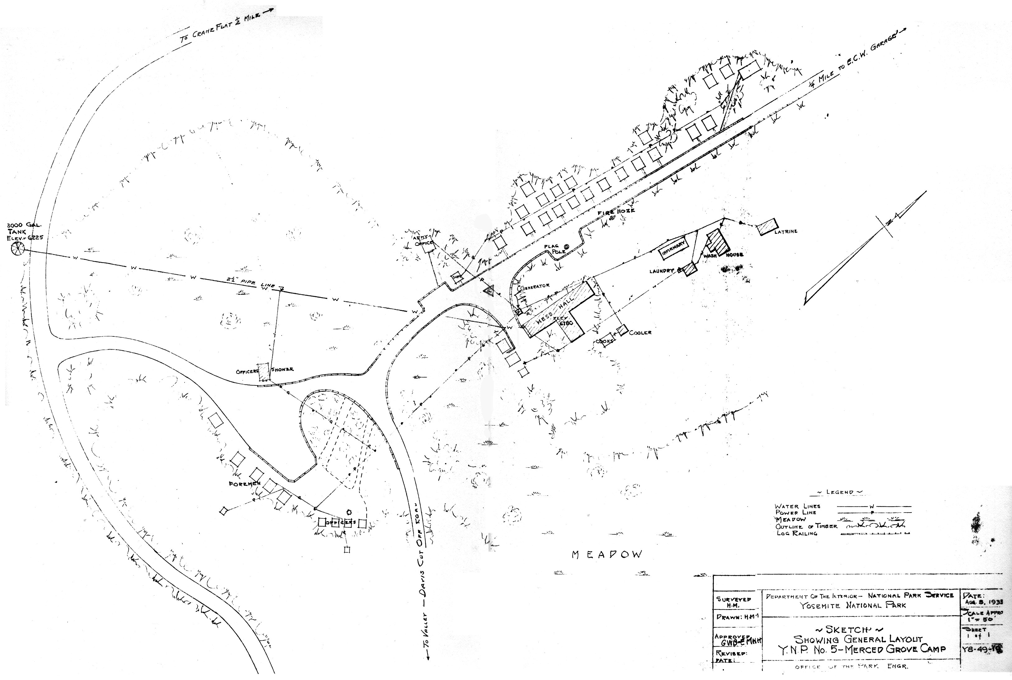
[click to enlarge] |
[15. Wirth, Parks, Politics, and the People, 143-44.]
The act terminating the CCC stated that the War and Navy departments and the Civil Aeronautics Administration had first choice of CCC properties and materials. The various articles of office and construction equipment, autos, trucks, barracks furnishings, tools, and other items were to be inventoried and then transferred to the military for the war effort (i.e., as rest and relaxation camps or for conscientous objector work camps) or to the Park Service, other federal agencies, or state, county, or municipal agencies. Park Service policy dictated that CCC camp buildings either be used or torn down. After the war the Selective Service System transferred all former CCC properties it had received from the Park Service in the first months of World War II back to that agency for final disposition.16 Thus ended one of the great conservation programs in American history. The work projects of the New Deal had not only protected and conserved the country’s exceptional natural resources but had developed national and state park and recreational areas for the public benefit.
[16. Paige, Civilian Conservation Corps, 36-37. Following discontinuance of the CCC program in 1942, the Wawona CCC buildings were held for use as a possible public service camp. During the latter part of April 1943, authority was granted the army for the occupation of the former Wawona CCC camp by several hundred men of the 426th Signal Battalion, Camp Pinedale, California, for special training. During December 1943, negotiations were completed for the transfer of the former Wawona CCC camp to the Western Signal Aviation Unit Training Center, Camp Pinedale, and the army stationed a small unit at the camp to protect its property. U. S. Army Signal Corps units utilized Park Service facilities both at Wawona and Badger Pass as special summer training schools. Even prior to America’s formal entry into World War II, mechanized army units had conducted maneuvers in the park to break in new equipment and gain experience in motor convoys. They stayed in campgrounds 14 and 15. “U. S. Soldiers in Yosemite for Practice,” Mariposa (Calif.) Gazette, May 1940.]
Former Director Conrad Wirth stated:
development by many years. It made possible the development of many protective facilities on the areas that comprise the National Park System, and also provided, for the first time, a Federal aid program for State park systems through which the National Park Service gave technical assistance and administrative guidance for immediate park developments and long-range planning. . . .
The Civilian Conservation Corps advanced park The National Park System benefited immeasurably by the Civilian Conservation Corps, principally through the building of many greatly needed fire trails and other forest fire-preventional facilities such as lookout towers and ranger cabins. During the life of the CCC, the areas received the best fire protection in the history of the Service. . . . The CCC also provided the manpower and materials to construct many administrative and public-use facilities such as utility buildings, sanitation and water systems, housing for its employees, service roads, campground improvement, and museums and exhibits; to do reforestation and work relating to insect and disease control; to improve the roadsides; to restore historic sites and buildings; to perform erosion control, and sand fixation research and work; to make various travel and use studies; and to do many other developmental and administrative tasks that are so important to the proper protection and use of the National Park System.
The CCC made available to the superintendents of the national parks, for the first time, a certain amount of manpower that allowed them to do many important jobs when and as they arose. Many of these jobs made the difference between a well-managed park and one “just getting along.”
3. The Dissolution of Emergency Relief Projects Severely Impacts Park Conditions
The tremendous progress of the 1930s relative to national park construction, protection, and conservation, however, virtually stopped cold in the next decade as the United States became actively involved in World War II. Yearly Park Service appropriations dropped from thirty-five million dollars in 1940 to less than five million dollars in 1945. The impact on the parks was drastic, as facilities deteriorated, visitation slowed to a trickle, and other government agencies and private industry
[17. Wirth, Parks, Politics, and the People, 147-48.]
attempted to use the excuse of a national emergency as a means of appropriating park resources. A steadfast leader was needed to oppose that onslaught and protect the ideals that had been furthered by the New Deal emergency programs.Horace Albright had left the Park Service in early 1933 to become vice president and general manager of the U. S. Potash Company. Arno B. Cammerer, associate director under Albright, replaced him as director and Arthur E. Demaray become associate director. Both Cammerer and Demaray had worked under Mather. Harold L. Ickes had served as Secretary of the Interior during the boom period of the 1930s and oversaw the expansion of park and recreational activities. In 1940 the overworked Cammerer asked to be relieved of his duties, and Ickes replaced him with Newton B. Drury, a highly respected conservationist. Drury stood firm against all threats to park resources during the war years while also trying to deal with the economic and developmental crisis brought on by the termination of the emergency relief projects. Despite the fact that its roads and structures were being heavily damaged by lack of maintenance, the Park Service made important contributions to the war effort. It cooperated to the fullest extent with the military and with federal agencies involved in war activities without allowing its resources to completely deteriorate. It made many of its facilities, especially concession-owned ones, available to the military as rest areas for injured men. Some parks provided areas for mountain maneuvers and the training of ski tropps. At the same time Park Service officials managed to fend off encroachments by mining and lumber interests.
Park visitation began to increase rapidly as the United States demobilized after the war, due to increased leisure time, more prosperity, and improved transportation. By the 1950s, however, the lack of maintenance in the parks had caused such deterioration of roads, buildings, and other facilities that they were completely inadequate and desperately in need of replacement. Although the Park Service budget picked up after V-E day, grants-in-aid to other countries during the Cold War repositioning period of international compacts and defense agreements seriously limited the money available to the Park Service to rebuild and refurbish park facilities. Park visitation, on the other hand, started to increase. In 1951 Drury accepted the job of head of the State Parks of California. Demaray, who had continued as associate director, accepted the Park Service directorship for a year, the last “Mather man” to hold that position. In December 1951 Conrad L. Wirth replaced him, serving as director until January 1964.
By 1955 the parks situation had become drastic. Park visitation had increased threefold since 1940. Eighteen new areas had been added to the system, increasing its holdings by several million acres. In Yosemite both Park Service structures and concession facilities were in need of extensive renovation. Increasing numbers of park visitors were not only causing overuse of resources, but were experiencing less enjoyable stays. Something had to be done to awaken Congress and the public to the impending loss of important natural and historical resources. Only a large sum of money could repair the damage to the parks caused by a minimum budget over the last several years. Above all, Wirth refused to give in to pressures to close some of the parks, preferring instead to attempt to rebuild the entire park system.
4. MISSION 66 Revives Park Development
Wirth’s solution to the problem lay in MISSION 66, conceived of in 1956 as a comprehensive ten-year program to upgrade and expand national park facilities to accommodate anticipated visitor use by 1966, the fiftieth anniversery of the National Park Service. In addition to construction of needed housing and other service structures and provision of essential services, such as sanitation facilities and water, sewer, and electrical systems, the program aimed at providing adequate operating funds and field staffs and acquiring private lands for protection and/or use.18 Master plans again became important in drawing up the MISSION 66 program, for many of them contained projects that needed financing and MISSION 66 provided the momentum for their accomplishment. Many projects were completed that improved the protection and preservation of park values. Many involved major road construction that was handled by the Bureau of Public Roads working with Park Service landscape architects. Since the mid-1920s, U. S. Public Health Service sanitary engineers had worked with the design office and the parks to improve sanitary facilities.19
[18. Shankland, Steve Mather, 326-27. Development under this program was to proceed with paramount consideration being protecting park areas for the purpose for which they had been established. Another function of MISSION 66 was to determine what was needed to round out the National Park System.]
[19. As stated earlier, master plans had been prepared for each Park Service area in the 1930s, by resident landscape architects of the San Francisco planning office that were assigned to major parks or groups of parks. This Central Design and Construction Division headed by Tom Vint later dispersed to regional offices in 1936. In 1954 Vint’s planning staff was reorganized into Western and Eastern Design and Construction offices in San Francisco and Philadelphia. Although they continued to primarily prepare and update master plans, during MISSION 66 they also designed and supervised construction projects. These master plans ensured the preservation of natural features and the placing of necessary facilities on sites where they blended into the landscape as much as possible. Wirth, Parks, Politics, and the People, 60-62.]
Construction became an important element of the MISSION 66 program, involving replacing outdated, inadequate facilities with improvements designed to handle increased loads but to be located in such areas as to reduce impact on the environment. At Yosemite, MISSION 66 proposed to provide an adequate road and trail system, sufficient accommodations and facilities for visitors, and effective interpretation of the resources. Another necessary part of the program included facilities and personnel necessary for the administration, maintenance, and protection of the park and housing for them. MISSION 66 planning incorporated many of the thoughts of the Yosemite Advisory Board regarding resolution of Yosemite’s manmade problems.
The park undertook its development program with the intent of not diminishing existing wilderness areas by extending roads or other development beyond their defined limits at that time and vowed that developments thought to be necessary for wilderness use would be appropriate to that environment. In addition, visitor accommodations and related services would be limited to designated areas. Specific items of Yosemite’s MISSION 66 program included:
1. Protection of Yosemite Valley. The Park Service realized that:The limited area of the Valley, in relation to the physical facilities essential to operate the park and to serve the tremendous number of park visitors attracted to it, is the heart of the problem. We can no longer continue to build, construct and develop operating facilities on the Valley floor without seriously impairing and ultimately destroying those very qualities and values which the National Park Service was created to preserve and protect for future generations. The more space taken up on the Valley floor for repair and maintenance shops, warehouses, incinerators, employee housing, equipment storage and other operating facilities means thatp^much less space available for visitor use and enjoyment.20
Specifically park authorities intended to limit valley facilities to those necessary to directly serve the visitor, with supporting facilities for parkwide operation located elsewhere, probably in El Portal. This would include removing the obsolete incinerator and public dump and replacing them at the new operating base.
[20. National Park Service, United States Department of the Interior, MISSION 66 for Yosemite National Park, n.d. (ca. 1956), in Box 22, Backcountry, Yosemite Research Library and Records Center, 4.]
2. Completion of the road and trail system, primarily the Crane Flat and Tioga Road entrance routes. The influx of travel to the park primarily via the South and Arch Rock entrances had resulted in an imbalance in park development and an unequal distribution of visitor load. Several important trail connections needed completion and repair of trails closed due to lack of maintenance was required. Completion of this system would allow visitor-use development in other portions of the park and relieve the pressure on concession facilities and the congestion in Yosemite Valley.
3. Construction of new water and sewer systems for government and concession developments to conform to U. S. Public Health Service requirements and of visitor-use facilities.
4. Replacement of obsolete concession facilities in Yosemite Valley, improvement of others parkwide, and provision of additional accommodations in other areas to relieve overcrowding. Although the park’s concessioners had been willing before to undertake this additional investment, prior to MISSION 66 the Park Service had been unable to provide the prerequisite access roads, parking areas, and utilities.
5. Acquisition of private lands. At this time the remaining private lands were located in the few remaining park areas whose level character and adequate water resources made them possible sites for public-use development. The land acquisition program would be time-consuming and laborious because the larger tracts had been subdivided into smaller lots. Again it was stressed that privately owned lands conflicted with public enjoyment and that maximum public use dictated their acquisition.21
[21. See ibid, for a description of the MISSION 66 program in Yosemite National Park, including summaries of the problems, program, and cost.]
The MISSION 66 program gained immediate acceptance from the President, Congress, and the American public. Park Service appropriations began to flow and even increase. Construction accomplishments of the period included park roads, trails, parking areas, campgrounds, picnic areas, campfire circles and amphitheaters, utilities, administrative and service buildings, utility buildings, reconstruction and rehabilitation of historic buildings, construction of employee residences, dormitories, apartments, comfort stations, interpretive roadside and trailside exhibits, lookout towers, and entrance stations. Other important innovations included visitor centers to house interpretive programs and ranger training centers. The Stephen T. Mather Research and Interpretive Ranger School at Harpers Ferry, West Virginia, for ranger historians and naturalists, was an outgrowth of the Yosemite Field School of Natural History. The Horace M. Albright Ranger School at Grand Canyon served the ranger protective force.22
[22. Shankland, Steve Mather, 329.]
Concessioners invested a great deal of their money in new cabins, lodges, stores, shops, service stations, and the like. MISSION 66 also took steps to move administrative facilities, government housing, utility buildings, and shops out of national parks to reduce interference with park enjoyment. In this regard, a new employee residential and service area was established at El Portal. At the same time, because MISSION 66 in Yosemite Valley called for moving all development out of the valley meadows, the concessioner moved all his operations to the side of the valley, helping in meadow naturalization and improving scenic values. Concessioners were recognized as an important part of the MISSION 66 program. Also during MISSION 66, the Park Service removed itself from the power and communications utility business, switching over to commercial service on a contract basis.
The MISSION 66 program was early criticized as being overly road- and development-oriented, with little accomplished in terms lines of natural resource protection. In Yosemite, especially, the program continued Mather’s thrust of more accommodations and facilities, increased access to remote areas, and expansion of interpretive programs and facilities. Even at this point, the Park Service was not grasping the critical nature of the imbalance being created between visitor use and preservation of the natural environment. Those aspects of the MISSION 66 program in Yosemite that concerned limiting developments within the valley to facilities necessary to directly serve the visitor, with supporting facilities located elsewhere, are still under study and implementation. The program did, however, succeed in supplying more adequate facilities and services to enable the Yosemite visitor to better use and enjoy the park. In ensuing years questions of overuse, noise, congestion, vandalism, crime, wilderness impact, commercialization, concession policy, and wildlife management, and development plans that included new valley accommodations, an aerial tramway, and a new winter sports area, would complicate further master planning efforts of the 1970s and 1980s. The conflicting demands of use and preservation imposed on the national parks by today’s urban-oriented society, accustomed to certain amenities and privileges, will not be easily resolved.
Beginning in the 1930s and amid renewed efforts to promote the parks and preservation in general, access to Yosemite’s backcountry became important in terms of expanding visitor enjoyment and use of the park. Consideration of it as an entity with its own set of administrative problems and environmental concerns was not yet a primary issue. New trails, in addition to the High Sierra camps and park patrol cabins, promoted more intensive backcountry visitation. Although plans were voiced for new trails to open up new vistas and areas of special interest, the economic stringencies of the Depression and World War II killed such proposals. Inroads on the wilderness did not appear again with any intensity until the 1950s, at which time principles of resource management began to influence the park’s view and subsequent use of that area. The backcountry’s operations have remained of secondary importance to those of Yosemite Valley throughout most of the park’s history, with little formal coordination of studies or development. The park did not establish a Backcountry Office until 1972, which attempted to coordinate activities of the ranger, maintenance, and research staffs and to fit them into broader environmental programs. Establishment of this office finally acknowledged the importance of lesser-used sections of the park and their resources.
Meanwhile, advocacy for the “wilderness” park experience gained momentum as park visitors began to realize the enjoyment of hiking and backpacking in the backcountry. More sophisticated camping gear and a deeper appreciation of the environment no doubt contributed to the popularity of this type of experience. It remained harmonious with the initial concept of national parks as a place of refuge and contemplation but involved very different types of activities and land use than those expounded by Mather’s generation. In place of camps and roads, wilderness enthusiasts called for no artificial conveniences or motorized access routes. The Wilderness Act of 1964 meant that some control could be exerted on undeveloped backcountry in our national parks, especially in the West. In Yosemite the move toward “wilderness” resulted, among other things, in discontinuance of the firefall in 1968 as inconsistent with national park values. The California Wilderness Act of 1984, restricting backcountry use and development, finally placed wilderness concerns on a more equal footing with other park operations and ensured that planning and management objectives would consider the overdevelopment and abuse of resources in Yosemite Valley and would prevent that from occurring on a parkwide basis as much as possible.23
[23. See Snyder, “Yosemite Wilderness—An Overview,” 3-4.]
1. Trail Construction in the Early 1930s Results in Completion of John Muir Trail
By the early 1930s Yosemite’s trail network was largely complete, and trail crews began concentrating more on maintenance than construction. Some new work continued to be accomplished, however. In 1931 park crews completed the trail from Happy Isles to Merced Lake, including a new section between Little Yosemite and Lost valleys, considered one of the finest examples of modern trail construction in the national parks. (This stretch should be inspected and evaluated during the backcountry trail survey recommended later in this report.) In addition to constructing a parapet wall on the Vernal-Nevada falls trail above Happy Isles, workers installed a counting device near the foot of the trail containing a photo-electric cell. The device proved only moderately successful because it counted people twice who returned to investigate the curious apparatus. Crews also constructed three new footbridges at Happy Isles. Backcountry trail work included construction of the Chilnualna Trail; of the Isberg Pass trail, including a bridge across the Lyell Fork of the Merced; and of a trail from May Lake to Ten Lakes.
The city of San Francisco constructed more than twenty-four miles of trail during 1930-31 at a cost of about eighty-six thousand dollars. The work included trails with a width of six feet and a maximum grade of about sixteen percent and five trail bridges, most of which the December 1937 flood destroyed.24 Trail construction by the city in 1931 involved the Rancheria Trail, a bridge across Rancheria Creek, the Falls Creek Bridge at the mouth of Lake Vernon, and the Lake Vernon trail. Also in 1931 workers completed the John Muir Trail section on the north side of Foresta Pass and opened several miles of new trail south to Tyndall Creek. Fifty-thousand dollars of state funds had been used on construction of the trail, which stood complete except for a section up Palisade Creek. Other trail work in 1932 consisted of replacing the Half Dome cables and log bridges at Yosemite Fall and in the Lost Arrow section. Finally, in 1938 U. S. Forest Service crews working on the Muir Trail built steep switchbacks (the Golden Staircase) up the cliff below Palisade Lakes and across to Mather Pass and the headwaters of the South Fork of the Kings River. Fifty-four years of difficult construction had resulted in the fulfillment of Theodore Solomons’s dream.
[24. Memo to the Superintendent, Yosemite National Park, from E. M. Hilton, Park Engineer, 30 September 1941, in Box 83, Trails—1941 to 1942, Yosemite Research Library and Records Center.]
|
Illustration 138.
Map of Yosemite National Park. From Circular of General Information Regarding Yosemite National Park, California, USDI, 1931. |
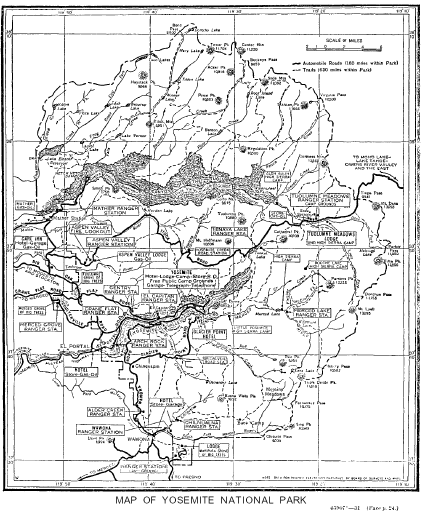
[click to enlarge] |
2. Reconstruction of Park Roads Begins in Early 1930s
a) Paving and Tunnel and Bridge Building Commence
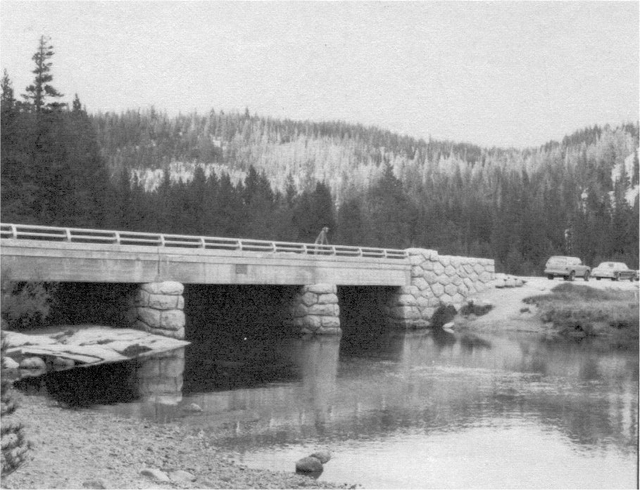
One of the major construction projects underway at this time involved driving of the new Wawona Road tunnel. By 1931 the two and a half million-dollar reconstruction program for the Wawona Road had begun, and crews had already vastly improved the stretch of highway from Wawona to Alder Creek. From that point to the valley, travelers still used the old road because of ongoing tunnel construction. Other road work in 1931 included paving by the city of San Francisco of the highway from Mather Station to Hetch Hetchy Valley, removal of the El Capitan Bridge in Yosemite Valley, and completion of a three-span, steel, I-beam bridge supported by cement rubble-masonry abutments and piers, over the South Fork of the Merced at Wawona.25
[25. Superintendents’s Monthly Reports, January-December 1931, microfile roll #2, Yosemite Research Library and Records Center.]
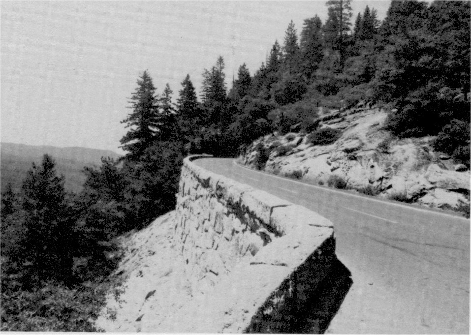
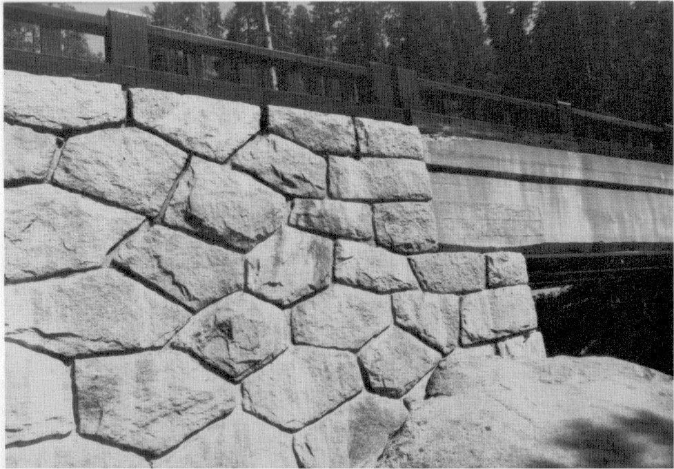
The new El Portal road, meanwhile, was carrying a heavy load of traffic into the park both in the summer and winter. In 1932 forty-six turnouts were constructed along the road, and stretches of dry-laid rock retaining walls added to those already existing with attention paid to landscape values.26
[26. “Completion Report. Final Report: Account No. 501.37, El Portal Road Shoulders and Turnouts,” November 1932, in Maintenance Office, Yosemite National Park.]
b) Tioga Road
The mpost important missing link in the park’s road system remained the twenty-one-mile section of Tioga Road which had not been improved for auto travel since its construction in the 1880s. As the only route available for those wishing to enter the park from the east, its rehabilitation had high priority. As mentioned, the Raker Act, turning the Hetch Hetchy Valley over to the city of San Francisco, had provided that the city build certain roads, including one from Crane Flat to Mather and another from Mather to White Wolf to replace the existing Tioga Road section between those points. Under a later modification of the act, the city agreed to turn over to the Park Service one and a quarter million dollars in lieu of constructing those roads, the money to be used for construction of a new Tioga Road on any desired route. Reconstruction of the road began in the early 1930s with PWA funds. Close attention was paid to location of the roadbed and placement of alignments, grades, cuts, fills, and structures such as bridges, culverts, and parking areas to ensure harmony with the landscape. The project was continually reviewed and assessed by such groups as the Yosemite Advisory Board and the Sierra Club.27 The park decided to preserve portions of the old road for continued use as an alternate route and as access to primitive campgrounds that would then be opened in that portion of the park.
[27. Wirth, Parks, Politics, and the People, 358-59.]
Surveys of the new route began in 1931, with construction of the Tuolumne Meadows section from Cathedral Creek to Tioga Pass reaching completion in 1934. Surfacing of that section began in 1935 and ended in 1937. During 1938 oiling of the twenty-one-mile section of the old road from McSwain Meadows to Cathedral Creek took place, and with completion of fourteen and one-half miles of new road between Crane Flat and McSwain Meadows on July 1939, a new era began. It would be almost twenty-five years before workers replaced the twenty-one-mile central section of the old road, but at least now a fair portion of the road was dustless. Crews also constructed a single-span, steel, I-beam bridge on masonry abutments over the South Fork of the Tuolumne River in October 1937 in connection with this work.
c) Wawona Road and Tunnel
Work on the Wawona tunnel on the new Wawona Road ended in 1932. The new highway eliminated the steep grades, sharp curves, and switchbacks of the old road and the tunnel prevented defacing of the
|
Illustration 139.
Automobile guide map showing roads in Yosemite Valley. From Circular of General Information Regarding Yosemite National Park, California, USDI, 1931. |
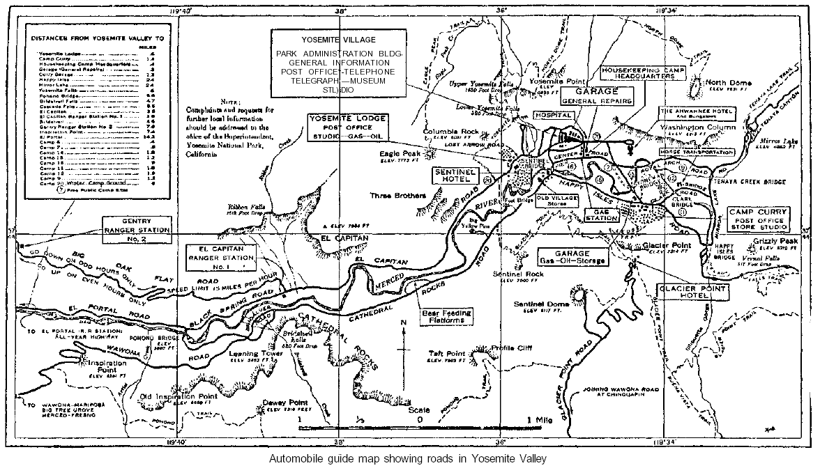
[click to enlarge] |
|
Illustration 140.
Stone steps on Mist Trail. |
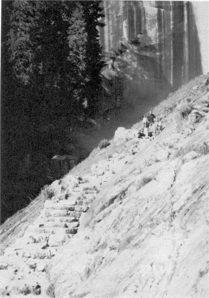
[click to enlarge] |
|
Illustration 141.
Happy Isles Bridge. Photos by Linda W. Greene, 1985. |
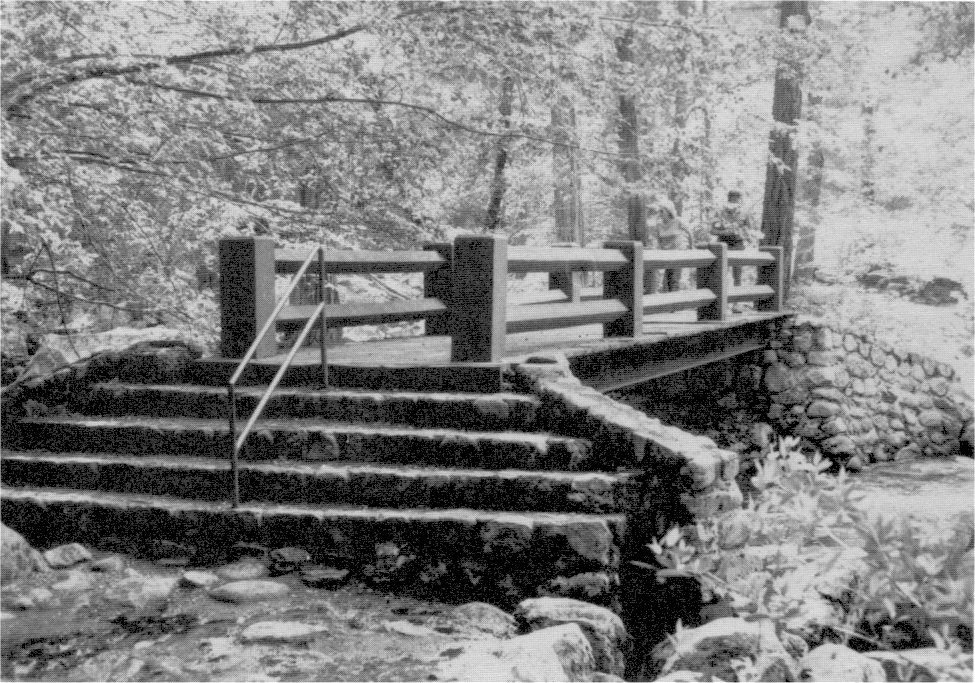
[click to enlarge] |
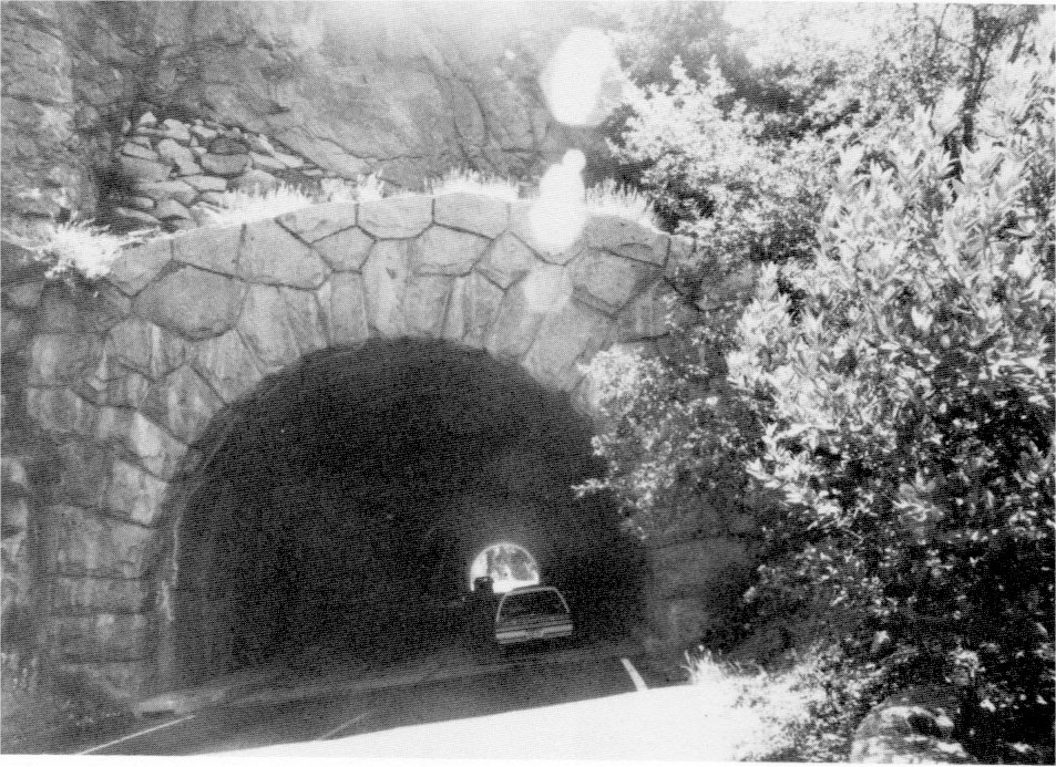
Because there were no galleries such as those in the auto tunnel at Zion National Park in Utah, three shafts drilled from the tunnel horizontally to the cliff face provided necessary ventilation. Carbon-monoxide recorders controlled three large fans in the largest adit. The recorders would register a buildup of traffic in the tunnel, with its subsequent increase in exhaust gases, and additional power would automatically be applied to the fans and continue as long as needed. The longest motor vehicle tunnel in the western United States at the time, it was considered a bold piece of engineering work that also managed to preserve the cliff walls and other landscape values. Construction on the section of the Wawona Road that included the tunnel had begun in November 1930, and the stretch opened to traffic in the spring of 1933.
With completion of the Wawona Road, interested parties began applying pressure to make the high country of the Tuolumne River more accessible for winter sports by constructing a tunnel road up through Tenaya Canyon. Herbert C. Hoover, on vacation in Yosemite before becoming President, had ridden horseback from the High Sierra camp at Tenaya Lake down the Snow Creek switchbacks into Yosemite Valley. Impressed with the scenery, he had suggested installing automatic elevators working by electrical power, possibly developed from waterwheels, that would take autos up and down alongside Snow Creek Falls.28 Hoover thought it would prove a great tourist attraction!
[28. Harry Chandler to C. G. Thomson, 10 August 1932, Central Files, RG 79, NA.]
Other road work in that year included rerouting of the road by the Grizzly Giant Tree in the Mariposa Grove in the spring of 1932 because the old road stood so close to the tree that vehicles ran over some of its roots. Gabriel Sovulewski also in that year made a spur road from Crane Flat to the Merced Grove by connecting the old Davis Cut-off with the railroad grade of the Yosemite Lumber Company that stretched from Camp 16 to Camp 15. During 1933-34 the Mariposa Grove’s road system was paved with asphalt.
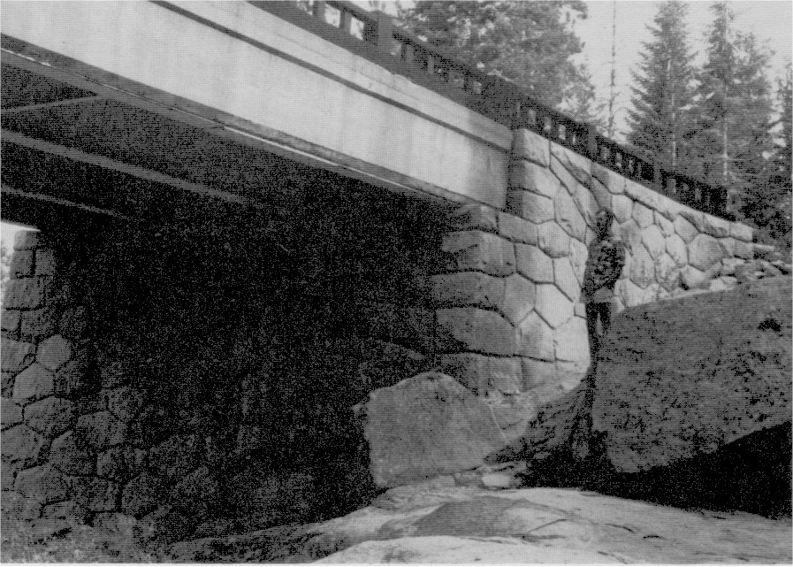
d) Yosemite Valley Bridges
During 1933 the park accomplished some major bridge work in Yosemite Valley. In addition to completing a steel girder bridge on masonry abutments over Bridalveil Creek, workers finished replacing the Stoneman Bridge across the Merced River at the Camp Curry intersection. Another reinforced-concrete, arched structure veneered with native granite, it also featured two equestrian subways through its abutments. When it came to replacing the El Capitan Bridge over the Merced, connecting the North and South roads, Superintendent C. G. Thomson expressed his opposition to another arch bridge for that location. He believed the park had repeated the stone arch motif to the point of monotony and that this bridge’s location several miles from the group of stone-arch bridges permitted some flexibility in design. The new three-span bridge, therefore, had steel I-beams with a log veneer railing. Workers placed it about one mile upstream from the old bridge location.
e) Glacier Point Road
During this time the park began to study the most desirable road route from Chinquapin to Glacier Point. The existing narrow road, poorly aligned and plagued by steep grades, had by now become obsolete. The major proposals for rehabilitation consisted of widening the road, eliminating the most objectionable switchbacks, and creating parking areas at the end of the road and at Washburn Point.29
[29. Superintendent’s Monthly Reports, January-December 1933, microfilm roll #2, Yosemite Research Library and Records Center.]
In 1934 park CCC crews installed posts and replaced the old 3/8-inch Half Dome cable with a 7/8-inch one and also constructed a log footbridge for fishermen across the Merced River at Arch Rock, a small bridge across Crane Creek on the Coulterville Road, and a new concrete two-span road bridge across the Tuolumne River at Tuolumne Meadows. Road construction consisted of rerouting the Mariposa Grove road behind the museum and adding a parking area, and work on the new Glacier Point Road. The latter closely followed the old road from Glacier Point to near Bridalveil Creek. At that point the new route left the steep hills and followed wide, easy curves on a gentle grade around them. The park completed the road in October 1935 and Superintendent Thomson wrote the Park Service director:
It is difficiult to realize that the much-talked-of Glacier Point Road is now an actuality. You will recall the long studies and discussions of the feasibility of any modern road, the substitution of a tramway for the road, the loop road proposal, and the proposals to stop at Sentinel Saddle or at Washburn Point. This Glacier Point subject was precipitated practically upon my arrival here nearly 7 years ago, and into the picture we drew Mr. Albright, all of the Advisory Board, Dr. Hewes, Mr. Tolen, Mr. Roach, Dr. Matthes, Dr. Tresidder, Mr. Wosky, and at least a score of others with lesser interests. Riding over it today, I could not but recall the dozens of meetings, discussions, and the endless miles some of us have hiked in search of solutions. . . . So far as Yosemite is concerned, it easily marks the highest standard yet attained in road construction through difficult country.30
[30. C. G. Thomson to Director, National Park Service, 15 October 1935, in File 631-10, Glacier Point Road, 1934 to 1950, Yosemite Research Library and Records Center.]
f) Big Oak Flat Road
In 1935 the park completed the Bridalveil Fall parking area and started work on the new Big Oak Flat Road out of Yosemite Valley. The planned route left the All-Year Highway a short distance below the floor of the valley, near the powerhouse diversion dam, and climbed the north wall of the Merced River canyon just above The Cascades. In the four miles to Meyer Pass, where the road would cross the rim of the canyon, two short tunnels and one long one would avoid defacement of the outstanding granite cliffs. Much of the work would be done by day labor under the close supervision of landscape engineers to safeguard the natural appearance of this stretch. Long sections of rock wall would hide unsightly scars from any deep cuts that would be necessary.
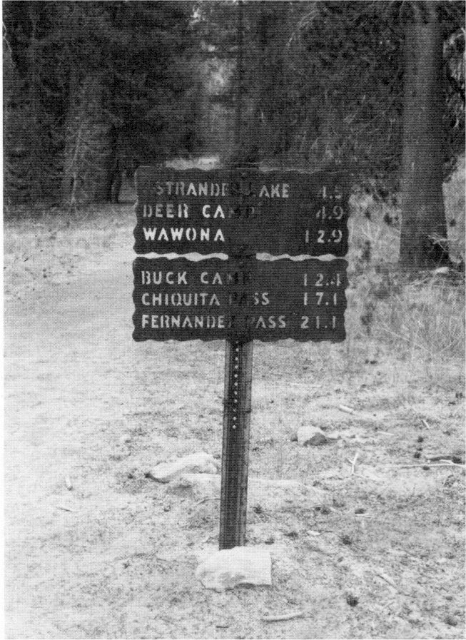
g) Trail and Road Signs
As stated previously, a trail measuring and signing program in the mid-1920s had involved running an odometer mounted on a bicycle wheel behind a horse and nailing small, round tin tags with numbers and letters to trees to identify trails. Later signs were of enameled metal with white backgrounds and green lettering. In 1934-35 the park began resigning park trails with locally manufactured embossed aluminum signs done on a Roover Press. In preparation for that work, rangers began securing accurate mileages and compiling a trail map. A common practice throughout the park by the 1940s involved painting large orange arrows on open granite expanses crossed by trails to direct hikers. Auto license plates, painted yellow and nailed ten to fifteen feet high on trees, helped designate trails to snow gaugers during winter storm conditions. Another sign type in the war years involved routing white-painted letters on 1-1/2-inch-thick redwood planks about four feet above the trail, but these also fell prey to bears, perhaps attracted to the oil used, as well as to hikers for campfires, souvenirs, or simply as
|
Illustration 142.
Wawona tunnel, east portal. Photo by Robert C. Pavlik, 1985. |
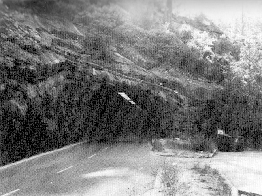
[click to enlarge] |
|
Illustration 144.
Stone wall on State Highway 140. Photo by Robert C. Pavlik, 1984. |
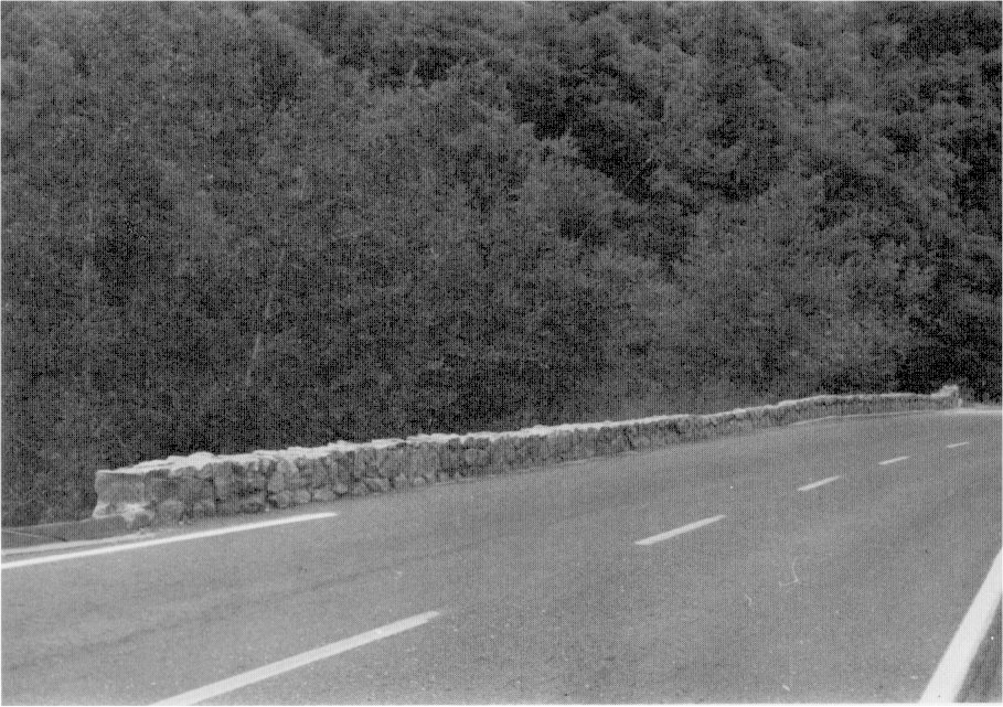
[click to enlarge] |
|
Illustration 143.
Wawona tunnel, interior. Photo by Paul Cloyd, 1986. |
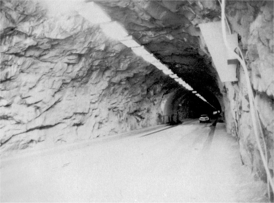
[click to enlarge] |
|
Illustration 145.
Map of Yosemite Valley floor, ca. 1935. NPS, Western Regional Office files. |
[click to enlarge] |
|
Illustration 146.
Metal trail sign. |
[click to enlarge] |
|
Illustration 147.
Corduroy road along north side of Johnson Lake enroute to Crescent Lake. Photos by Robert C. Pavlik, 1984-85. |
[click to enlarge] |
[31. Bert Sault to Jim Snyder, 9 July 1975, in Separates File, Yosemite-Trails, Y-46, #42, Yosemite Research Library and Records Center. Evidently Landscape Architect Thomas Vint was not favorably impressed with the new iron signs for aesthetic reasons, but agreed that they were necessary to solve the problem of signage in the backcountry. Notes taken by Carl P. Russell, “Conference July 30, 1952,” in Box 78, Box A—NPS files, 1938-1953, Development Part XII, Yosemite Research Library and Records Center. The metal sign program in Yosemite was initiated with designs by signmaker Lee Buzzini and welder Bill Kirk. Douglas H. Hubbard, “Yosemite Bears Chip Teeth,” Yosemite Nature Notes 34, no. 3 (March 1955).]
h) Bridge Work Precedes Flood of 1937
In July 1936 construction took place on the May Lake trail from the top of the Tenaya zigzags to the junction of the McGee Lake Trail. In 1937 workers built a new hikers’ bridge across Tenaya Creek below Mirror Lake. That same year, the park completed plans for a log footbridge at Wawona, crossing the South Fork close to the new Wawona schoolhouse, to provide access for children living on the south side of the river in Section 35 so that they would not have to use the longer route to school over the old covered bridge downstream.32
[32. Superintendent’s Monthly Reports, January-December 1936 and 1937, microfilm roll #3, Yosemite Research Library and Records Center.]
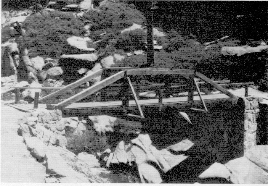
A disaster of unparalleled proportions in park history hit the area on 8 December 1937 when torrential rains continuing until 12 December caused severe flooding in the valley and washouts in other sections of the park. Particular devastation occurred in Yosemite Valley where the formation of an immense lake resulted in damage to road surfaces, businesses, and residences, and inundation of campgrounds 6 and 16. The force of the floodwaters surging down the Merced River canyon practically destroyed the diversion dam, intake, and penstock of the powerhouse, and severely damaged bridges at The Cascades, the footbridge and structures at the Arch Rock entrance and at the Cascades CCC camp, and portions of the El Portal road where sections of the stone guard rail and road slab slid into the river. Repairs began immediately, and the El Portal road, initially closed completely for the rest of December, remained one-way passage during the reconstruction period. Extensive sections of retaining and parapet walls were replaced and added with great effort.
The Mirror Lake road sustained heavy damage from Iron Spring to the parking area. Floodwaters washed away seventeen trail bridges on the valley floor, with the El Capitan Bridge sustaining heavy damage. Sections of the Wawona Road also were damaged. The new footbridge across the South Fork of the Merced to the new schoolhouse was completely wrecked by the flood.33
[33. “Monthly Narrative Report to Chief Architect by E. L. McKown, Resident Landscape Architect, November 25 to December 25, 1937, Region IV, Yosemite National Park, California,” 23 December 1937, Architectural Reports (1927-1939), in Box 28, Yosemite Park and Curry Company, Yosemite Research Library and Records Center, 1-3, 5.]
The flood damage of December 1937 necessitated a multitude of repairs during 1938-39, including replacement of bridges near Yosemite Lodge, on the lower Yosemite Fall trail and at Rancheria Creek near Hetch Hetchy, and of the East Bridge at The Cascades on the Ail-Year Highway, and of the Coulterville and Davis Cut-off bridges across Crane Creek; of footbridges at Happy Isles, Yosemite Creek, Camps 7-16, Mirror Lake, and on the South Fork; and of horse bridges over the Merced River, Bridalveil Creek, Tiltill Creek, Snow Creek, Eagle Creek, Yosemite Creek, Tenaya Creek, and Mono Creek, and at Pate Valley and Glen Aulin. Repair work continued on the All-Year Highway at Devil’s Elbow, one mile below Arch Rock, in addition to repair of pavement, replacement of parapet walls, and removal of silt, mud, and assorted debris on valley roads.
|
Illustration 148.
Arch Rock office. 
[click to enlarge] |
Illustration 149.
Arch Rock comfort station. 
[click to enlarge] |
|
Illustration 150.
Arch Rock residence #106. Photos by Robert C. Pavlik, 1984. |
|
[click to enlarge] |
|
Illustration 151.
Wooden truss bridge over Yosemite Creek above waterfall, enroute to Yosemite Point. |
[click to enlarge] |
|
Illustration 152.
Cascade Creek Bridge, old Big Oak Flat Road. Photos by Robert C. Pavlik, 1985-86. |
[click to enlarge] |
The flood severely damaged the old Wawona Road from a point above the Bridalveil Fall parking lot to Old Inspiration Point. The park decided to limit repairs to reconstruction as a horse trail, and no longer maintain that route as a road. A new suspension bridge on the valley floor was rebuilt with material salvaged from the flood on the identical plan of the old structure but on a new site about 300 feet downstream. 34 In addition, repairs were needed on the wing walls and abutments of the Pohono, El Capitan, and Sugar Pine bridges. The flood of 1937 damaged or destroyed outlying trails and bridges as well as valley structures. Civilian Conservation Corps labor in 1937-38 was invaluable in ‘trail repair work, a force that would be sorely missed under similar circumstances in 1950.
During these years much new trail construction took place, including: new trail bridges at Wapama and Tueeulala falls on the north side of the Hetch Hetchy reservoir, one across the Middle Fork of the Tuolumne River, one across Illilouette Creek on the Eleven-Mile Trail to Glacier Point, one across Snow Creek above Mirror Lake, and a new horse bridge at Yosemite Fall. In 1939 laborers reconstructed the Vernal Fall Bridge of prefabricated steel with log veneer, and a year later reconstruction work replaced the old hewn-log truss bridge on the Nevada Fall Trail with log-covered steel plate girders.
i) North Valley Road Realignment Considered
By 1939 park officials were discussing possible changes of location and alignment for the valley’s North Road. One of the most dangerous spots in the valley road system lay where the North Road ran through the midst of the Yosemite Lodge development. There the public highway suddenly became a congested main street crowded with vehicular and pedestrian traffic. Because the main lodge needed replacement soon,
[34. Superintendent’s Monthly Reports, January-December 1938 and 1939, microfilm rolls #3 and #4, Yosemite Research Library and Records Center.]
it seemed a good time to decide what to do about the road, which had to be moved either farther south or north.j) Completion of New Big Oak Flat Road
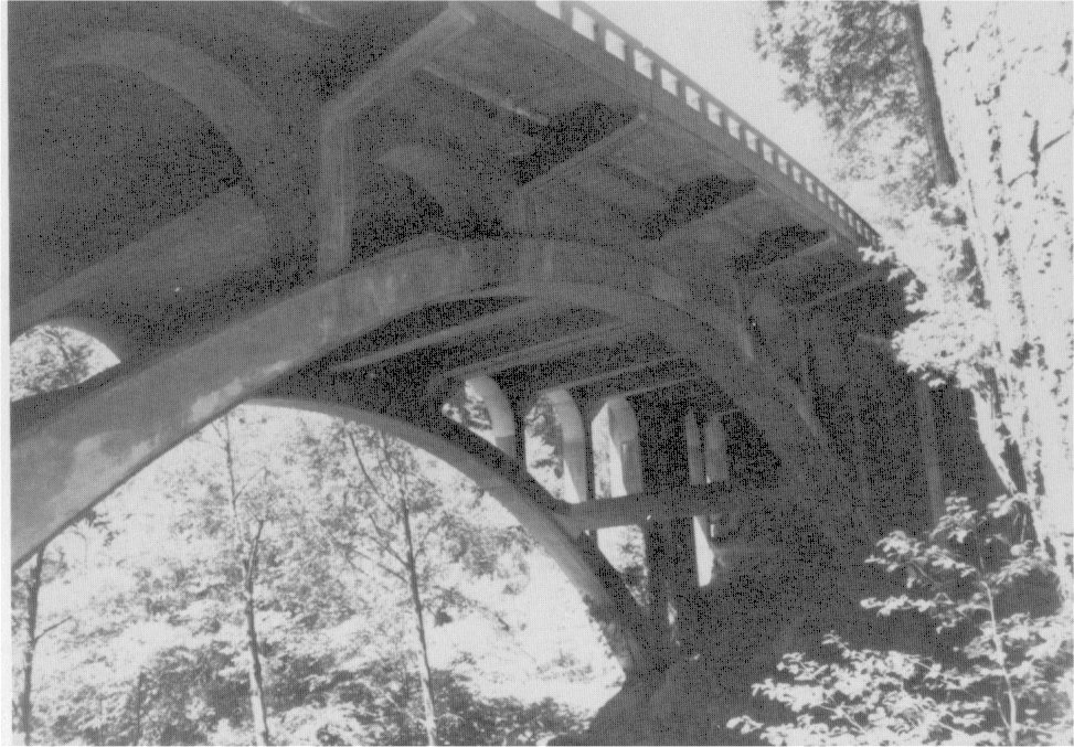
By 1940 the Big Oak Flat Road from Crane Flat to the valley floor had been completed. The first two miles out of the canyon from the All-Year Highway comprised the most difficult stretch of highway construction ever undertaken in Yosemite National Park. The project included the boring of three tunnels and the construction of three reinforced-concrete, open-spandrel arch bridges. The park converted the old route descending into Yosemite Valley into a one-way downhill scenic road. Visitors used it only until 1943 when a large rockslide made the road impassable to autos.
k) Bridge Work Continues in the 1940s
Work in 1941 included completing the reconstruction of the Nevada Fall Trail bridge; reconstructing the bridge across Cascade Creek on the old Big Oak Flat Road, which had deteriorated, to enable opening that road to one-way travel; and constructing a new trail across the Clark Range. Superintendent Frank A. Kittredge requested during this time the flagging of a trail between Glacier and Washburn points, in front of the Glacier Point Hotel, as a scenic naturalist walk.35 Kittredge also hoped that
whenever this emergency defense period is past, it will be possible to put some of the main line trails of Yosemite on a construction basis comparable to that of most of the other parks. . . . if we can just take advantage of some of the inspiration of some of this great back country, afoot or horseback, as is the Sierra Club, we are going to build up a group of nature lovers and conservationists which will form a bulwark of protection for our wilderness areas.36
[35. Memo for Park Engineer E. M. Hilton from Frank A. Kittredge, Superintendent 3 September 1941, in Box 83, Trails - 1941 to 1942, Yosemite Research Library and Records Center.]
[36. Frank A. Kittredge, Superintendent to Richard M. Leonard, chairman, Outing Committee, Sierra Club, 1 October 1941, in Box 83, Trails - 1940 to 1942, Yosemite Research Library and Records Center.]
|
Illustration 153.
Tunnel No. 1, east portal, new Big Oak Flat Road. |
[click to enlarge] |
|
Illustration 154.
Stone wall along new Big Oak Flat Road. Photos by Jo Wabeh, 1986. |
[click to enlarge] |
|
Illustrations 155-57.
Bridges, new Big Oak Flat Road. Photos by Jo Wabeh, 1986. 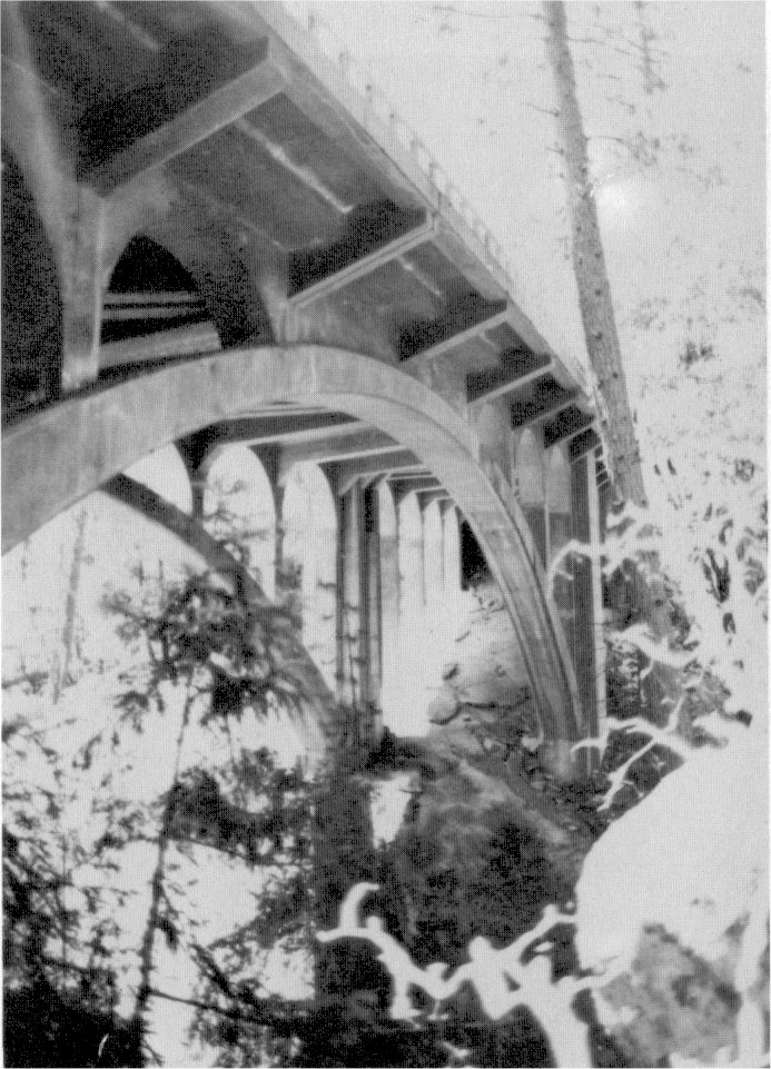
[click to enlarge] |
[click to enlarge] |
[click to enlarge] |
|
Illustration 158.
Road bridge over Tuolumne River. |
[click to enlarge] |
|
Illustration 159.
South Fork of the Tuolumne River bridge abutment. Photos by Robert C. Pavlik, 1985. |
[click to enlarge] |
|
Illustration 160.
Map of Yosemite National Park, 1948. Yosemite Research Library and Records Center. [Editor’s note: map by Della Taylor Hoss—dea] |
[click to enlarge] |
Workers in 1943 reconstructed the Yosemite Creek footbridge, which had collapsed. In 1945 they spent a great deal of time rebuilding bridle path bridges on the Yosemite Valley floor, including the three-span bridge at the foot of Yosemite Fall and a one-span bridge in the Lost Arrow section. In addition they rebuilt the two-span middle footbridge at Happy Isles. In 1946 replacement of the footbridge connecting Camps 7 and 16 got underway and replacement of the decayed footbridge near the fish hatchery at Happy Isles was completed. That same year progress continued on badly needed trail and trail bridge repairs. Crews rebuilt seven bridges in the vicinity of Echo Creek, Merced Lake, and Washburn Lake, including four short-span ones, and made the old Merced Lake Trail passable preparatory to closing the main trunk trail for bridge replacement. Work also proceeded on repairing the decayed Return Creek bridge.
Late in 1946 the bridge across Crane Creek on the Coulterville Road at Big Meadow collapsed. Work crews managed completion of a bridge across the Middle Fork of the Tuolumne on the Mather road and replacement of the Yosemite Creek bridge on the old Tioga Road. That year workers also accomplished replacement of Long Bridge and Twin Bridges across the Merced River on the Merced Lake Trail. In 1947 the footpath bridge on the Lost Arrow Trail, last replaced in early 1938, was again replaced, as was bridle path bridge no. 14, one or two miles above Mirror Lake.37
[37. Superintendent’s Monthly Reports, January-December 1943 to 1947, microfilm roll #4, Yosemite Research Library and Records Center.]
After the Yosemite Valley Railroad was abandoned in 1945, another means had to be found to transport supplies into Yosemite Valley. The Yosemite Park and Curry Company purchased large trucks, which were unable to pass through Arch Rock. A serious traffic hazard resulted when the trucks were forced to bypass the rock going against the traffic flow. To remedy the situation, the arched portion of the rock was blasted out to permit passage of these vehicles. Small charges of dynamite were used to avoid breaking off unsightly chunks of rock.38
[38. “Arch Rock Enlargement, 1948,” in Box 78, Box A—NPS files, 1938-1953, Yosemite Research Library and Records Center.]
l) Flood of 1950
The flood periods of 19 November, 3 December, and 8 December 1950 wreaked havoc on Yosemite’s road and trail system. Repair work in Yosemite Valley included repaving paved walks and footpaths, repairing bridle paths, replacing retaining walls, and removing fallen trees, silt, and other debris. Several bridges needed replacement of stringers and repair or replacement of abutments, railings, and decking. They included:
1. Old Village footbridge no. 20
2. Footbridge no. 25 (Mirror Lake half-log)
3. Footbridge no. 9 (Camp 16)
4. Footbridge no. 1 (Yosemite Creek near highway)
5. Horse bridges nos. 2-3 (Lost Arrow)
6. Footbridges nos. 4-5 (Lost Arrow)
7. Footbridge no. 26 (Mirror Lake)
8. Horse bridge no. 14 (Mirror Lake loop)
9. Horse bridge no. 10 (between Camps 9 and 12)
10. Horse bridge no. 8 (foot of Yosemite Fall)
11. Swinging Bridge no. 21
The El Portal road lost more than 700 lineal feet of walls undermined by the floodwaters, which fell into the Merced River. ‘The waters also undermined the pavement at two points and caused collapse of one road section. Repair work included construction of concrete rock fill to support the undercut pavement sections, replacement of pavement, restoration of washed-out shoulders, replacement of culverts, headwalls, and bridges at The Cascades, and replacement of retaining and parapet walls. Similar work followed on the Yosemite Valley, Wawona, Glacier Point, Big Oak Flat, Tioga, Lake Eleanor, and campground roads, including removal of rockslides, fallen trees, broken pavement, silt, and other debris. 39
[39. Flood Damage - Repair and Reconstruction Estimates - Floods of Nov. 19, Dec. 3, Dec. 8, 1950, in Box 11, Floods and Water Supply, Yosemite Research Library and Records Center. Reconstruction costs for these properties skyrocketed due to the lack of an inexpensive work force, such as the CCC, and postwar inflation affecting the price of materials. Because of the extensive flood damage and consequent need for haste in repair work, by the mid-1950s the park began using Bailey bridges of prefabricated steel parts. Snyder and Castle, “Draft Mules on the Trail in Yosemite National Park,” 10.]
m) Completion of the Tioga Road
Completion of the Tioga Road comprised a primary aim of the MISSION 66 road and trail program in Yosemite. Over the last several years, discussions had ensued over whether the central portion of the new road should be routed via the “high” or “scenic” line or along the general route of the old Tioga Road. Intensive studies involving discussions with various cooperating groups, the Secretary of the Interior, and other interested parties became fraught with controversy. Objections arose specifically from certain conservationists and the Bureau of Public Roads after it had been decided to proceed on the route selected and approved years earlier. Changes to meet improved safety standards met resistance from such people as David Brower, executive secretary of the Sierra Club, and nature photographer Ansel Adams. The Bureau of Public Roads believed that a wider road with wider shoulders was necessary so that cars could pull off the road in emergencies. The Park Service, meanwhile, wanted a safe width of road with narrow shoulders and with turnouts only where the terrain permitted to avoid scars from cuts and fills as much as possible plus higher costs. The matter was finally settled in favor of the two-foot shoulders with few turnouts except for one section where the shoulder had to be widened to provide the necessary stability.40 Conservationists, however, continued to object to the blasting and gouging methods used and the resulting scars on the face of glacially polished granite surfaces at Olmsted Point.
[40. Wirth, Parks, Politics, and the People, 359-60.]
Actual construction of the new central section began in 1957, and it officially opened to the public in June 1961. The work had progressed with due regard for preservation of scenic values. It turned into an outstanding park road, carefully designed to display to their fullest the dramatic assets of the Sierra Nevada. The highest trans-Sierra crossing, it is well supplied with overlooks and interpretive signs. Sections of the old Tioga Road were retained, such as that leaving the new road just east of the White Wolf intersection and winding down to the Yosemite Creek campgrounds; another short section climbs over Snow Flat to the May Lake Trail junction. Shorter sections still serve campgrounds along the old road.
n) Flood Reconstruction Work Continues
In 1952 workers completed reconstruction of the Yosemite Fall bridge, partially washed out during the 1950 flood. By 1952 Park Service officials had decided the new Yosemite Village would receive early attention. Director Wirth at that time earmarked $80,000 for immediate use (1953) in planning and constructing roads and parking areas.41 In 1955, the most severe flood in Yosemite’s history forced closure of roads into the park. Again floodwaters washed away large sections of the El Portal road, resulting in months of extensive repair work. In 1957 crews placed steel decking on the Vernal Fall bridge. By the end of 1960 the Merced River bridge stood complete with the approaches prepared for paving and the contractor had started work on reconstruction of the Sentinel Bridge.
[41. Russell, notes taken during conference on 30 July 1952, Yosemite Research Library and Records Center.]
|
Illustration 161.
Road bridge over the South Fork of the Merced River near Wawona. |
[click to enlarge] |
|
Illustration 162.
Controversial section of Tioga Road, northeast of Olmsted Point. Photos by Robert C. Pavlik, 1984-85. |
[click to enlarge] |
|
Illustration 163.
Ruins of Chilnualna Fall ranger patrol cabin. |
[click to enlarge] |
|
Illustration 164.
Single stringer log and plank foot/horse bridge on trail between Chain Lakes and Chiquito Pass. Photos by Robert C. Pavlik, 1985. |
[click to enlarge] |
o) MISSION 66 Provides Impetus for New Big Oak Flat
Entrance Road
The second most important section of the park’s road system scheduled for completion under MISSION 66 was the seven-mile section of the old Big Oak Flat Road between Crane Flat and Carl Inn connecting with state route 120. The old stagecoach route would be retained as access to the Tuolumne Grove. In 1961 laborers started clearing the alignment for the new Big Oak Flat entrance road and parking areas. That entailed clearing and removing trees and brush within the right-of-way for the new road, between Crane Flat and the vicinity of Hazel Green Creek. The park decided to relocate the road when it determined that improvements to the existing road, including some realignment to straighten out dangerous curves, could not be made without damaging trees in the Tuolumne Grove. The new route ran along the western boundary of the park, connecting with state route 120 in the vicinity of Carl Inn. The park retained the historic road to the big trees in the Tuolumne Grove as a downhill, one-way road out of the park from Crane Flat.42
[42. Superintendent’s Monthly Reports, January-December 1948 to 1961, microfilm rolls #4 and #5, Yosemite Research Library and Records Center.]
Construction within the national parks increased tremendously during the 1930s, particularly with the added help of emergency public works personnel. War conditions of the early 1940s tended to slow the process, but the pace of construction in Yosemite National Park into more recent times continued to be impressive and cause new concern about effects on the resources and the quality of the visitor experience. MISSION 66 objectives calling for the modernization of existing facilities, additional development of accommodations and services in sections of the park outside the valley to relieve congestion, and removal of all but certain critical operating functions out of the valley would result in major governmental and concession-related physical development in the latter part of this period. The decision to bring more development into the Yosemite high country, resulting in improved roads and construction of new campgrounds, picnic areas, comfort stations, and visitor interest areas, such as the Yosemite Pioneer History Center at Wawona, has not solved the problem of overcrowding but helped to some extent in broadening the visitor experience and exposing people to the variety of attractions in the park.
1. Season of 1931
Construction projects accomplished during the 1931 season included,
on the Big Oak Flat Road: Establishing a new entrance station at the park line on the Big Oak Flat Road on a site formerly occupied by a California State Automobile Association tow camp. This action placed a ranger in the heart of the Rockefeller timber purchase and close to the Tuolumne Grove;
at Crane Flat: Completing the Crane Flat fire lookout, the first of its kind in the park, the result of the fire protection plan developed for Yosemite by J. D. Coffman, Chief Forester and National Park Service fire expert. The Park Service’s Landscape Division prepared the plans for the structure and John Wosky, assistant landscape architect, planned the site. The first story functioned as a garage, for economic and landscape reasons, and the second story for observation. The structure overlooked the Rockefeller grant recently added to the park. The next year, Superintendent Thomson noted that a definite effort was being made to get visitors to the lookout as a lesson in conservation (see later discussion of Park Service fire control philosophy during this period). Visitation averaged 100 people per day;43
[43. C. G. Thomson to Edward Robling, 21 July 1932, in Central Files, RG 79, NA.]
|
Illustrations 165-66.
Crane Flat fire lookout. Photos by Robert C. Pavlik, and Jo Wabeh, 1984, 1986. |
[click to enlarge] |
[click to enlarge] |
|
Illustration 167.
Tioga Pass ranger station. |
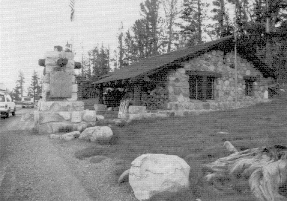
[click to enlarge] |
|
Illustration 168.
Tioga Pass comfort station. Photos by Gary Higgins, 1984, |
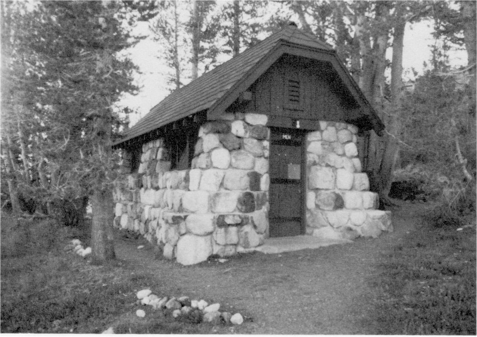
[click to enlarge] |
|
Illustration 169.
Buck Camp cabin |
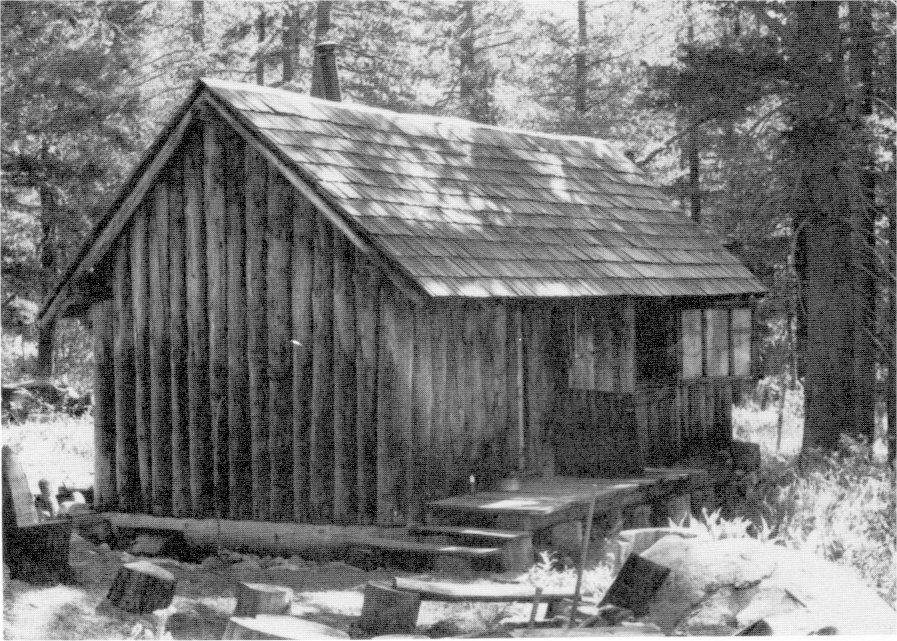
[click to enlarge] |
|
Illustration 170.
Buck Camp cabin, tack and equipment storage shed (rt.), and privy. Photos by Robert C. Pavlik, 1985. |
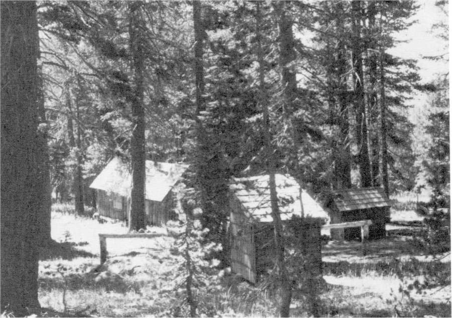
[click to enlarge] |
at Tioga Pass: Completing a new ranger station. The first structure erected in connection with relocation of the old Tioga Road and the first rustic stone building in the Tuolumne Meadows/Tioga Pass area, it set the precedent for the use of that style in that section of the park;
at Tuolumne Meadows: Establishing a construction camp for the water, sewer, and sanitation system work, consisting of a dining room, tent platforms, bathhouses, and meat house, and completion of comfort stations;
in the valley: Moving residence #4, the old E. P. Leavitt house, from its location on the valley floor blocking the view of Yosemite Fall to the residential area, tearing down its garage, and landscaping the site; moving the old Oliver Taylor house to the Lost Arrow section, tearing down the garage, and landscaping the site; completing residences for the doctor, dentist, and an employee, and a hospital garage; completing a comfort station in the Indian Village; completing an activated sludge sewage disposal plant and sewer for the valley; installing electric camp stoves in the winter campground operated by meters; cleaning up the rock quarry near the Pohono Bridge and demolishing all associated structures; restoring an old parking area at Mirror Lake and abandoning the road at the foot of the Vernal Fall Trail; and reveting the Merced River at its junction with Yosemite Creek, arresting erosion of the banks and beautifying the area;
at Glacier Point: Completing two frame ranger cabins to replace the temporary tent accommodations. The ranger cabins were constructed for possible future moves in that each was built in two portions, the two bedrooms constituting one unit and the kitchen another, so that moving could be accomplished by simply unbolting the girders and framework of the walls dividing the two sections.
in the southern section of the park: Making an old logging cabin and barn at Eleven-Mile Annex (Deer Camp) habitable and constructing a log cabin at Buck Camp to aid in collecting snow measurements and for patrol use. The state helped financially on those projects; completing a comfort station in the Mariposa Grove.44
[44. Superintendent’s Monthly Reports, January-December 1931, microfilm roll #2, Yosemite Research Library and Records Center.]
During 1931-34 the park completed fifteen new residences, a six-car garage, and a toilet/shower building for the Indians living on the valley floor. Originally estimates had been sought for a wigwam-type structure with a hexagonal floor plan, but fortunately the superintendent had the foresight to rule out that design, and Assistant Landscape Architect John Wosky drew plans in June 1931 for a cabin similar to those erected at Glacier Point earlier in that year. The site chosen for the new village lay west of the winter campground (present Sunnyside Campground).
2. Season of 1932
Other construction work accomplished in 1932 included a variety of needed projects:
at Merced Grove: Demolishing the old log ranger station constructed in 1915 and landscaping the site.
in Yosemite Valley: Construction by Maggie Howard of a new chuck-a in which to store acorns in the Indian Village behind the museum. That interpretive area then contained two chuck-as, three o-chums, and a mortar rock. These were thought to be the only chuck-as in use in the mountains of California at that time; completing two three-room frame women’s dormitories; completing a new equipment storage shed in the valley utility group; landscaping the old sewer plant, including removal of the old frame building; completing the Union Point comfort station; and constructing a rubble masonry drinking fountain at the intersection of the short spur trail leading to Union Point from the main Glacier Point Trail, and, in the open area at Union Point, a combination horse trough and drinking fountain of rubble masonry;
|
Illustration 171.
Glacier Point residence. |
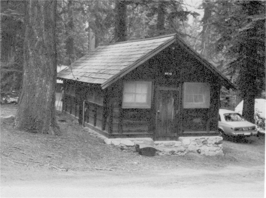
[click to enlarge] |
|
Illustration 172.
Glacier Point naturalist’s cabin. Photos by Robert C. Pavlik, 1984. |
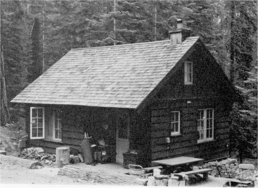
[click to enlarge] |
near Chinquapin: Obliterating the old Wawona Road between Grouse Creek and Eleven-Mile; removing buildings to permit grading for a plaza. The Chinquapin area had first been developed between 1919 and 1923. A fire destroyed the contractor’s camp there in October, burning all buildings except two small ranger cabins. Of the thirteen frame structures lost, the government had owned five;
at Wawona: Replacing the Wawona barn removed for highway and bridge work; and
at Mariposa Grove: Developing Wawona Point with a large parking area and lookout, a project considered a model for future work of that type.
The valley lost one of its early landmarks in December 1932 when fire destroyed the old Cosmopolitan Bathhouse. For the past several years the Yosemite Park and Curry Company had used it for their general offices. The fire, which could not be contained, centered on an overheated flue in the rear of the building. The Park Service subsequently razed the ruins, and the concessioner moved his offices to the Ahwahnee Hotel.45
[45. Superintendent’s Monthly Reports, January-December 1932, microfilm roll #2, Yosemite Research Library and Records Center.]
In 1933 the park superintendent praised the energy and efficiency with which the park public works projects had been initiated. This had been due to the fact that blueprints had already been prepared for many projects, equipment had been available, and usually slow processes such as purchase and supply had been expedited. Several construction crews were busily working at Tuolumne Meadows, Hetch Hetchy, Mariposa Grove, in Yosemite Valley, at Wawona, Glacier Point, Nevada Fall, and other places. Each of the projects underway had been selected from the park’s development program. The Branch of Plans and Design was expediting design work during this early period of the public works program and the year-long detail of Landscape Architect John Wosky to the park was proving invaluable. The five CCC camps at Wawona, Crane Flat, and Eleven-Mile Meadow were accomplishing enormous amounts of work relative to fire control, cleanup, trail construction, campground development, erosion prevention, and the like. At this time the park was just organizing to employ several hundred men under the CWA, primarily on building and utility maintenance.46
[46. Superintendent’s Monthly Reports, Jaunary-December 1933, microfilm roll #2, Yosemite Research Library and Records Center.]
3. Season of 1933
In 1933 crews worked on several construction projects:
at Tioga Pass: Constructing a stone gateway;
in Yosemite Valley: Eliminating the old Indian Village at the foot of Indian Canyon; demolishing the zoo in the Lost Arrow district; and removing the elk paddock in Yosemite Valley and restoring the meadow area it had covered;
at Chinquapin: Completing the comfort station;
at Wawona: Removing the dressing rooms (at Stella Lake?), the old laundry building, the bear pen, and the old fish hatchery; and
|
Illustration 173.
Chinquapin comfort station. Photo by Robert C. Pavlik, 1984. 
[click to enlarge] |
Illustration 174.
Chinquapin ranger station. Photo by Paul Cloyd, 1986. 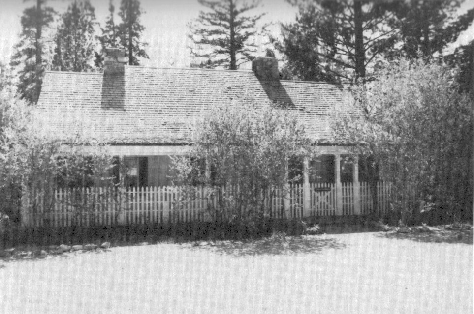
[click to enlarge] |
|
Illustration 175.
Chinquapin garage. Photo by Robert C. Pavlik, 1984. |
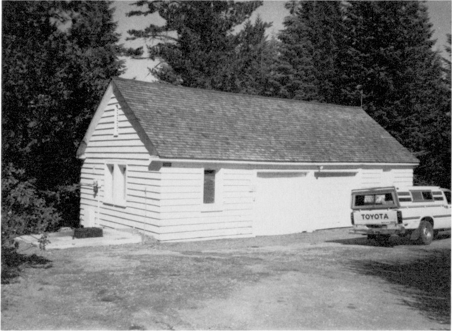
[click to enlarge] |
|
Illustration 176.
Chinquapin gas station (Curry Co. employee residence). 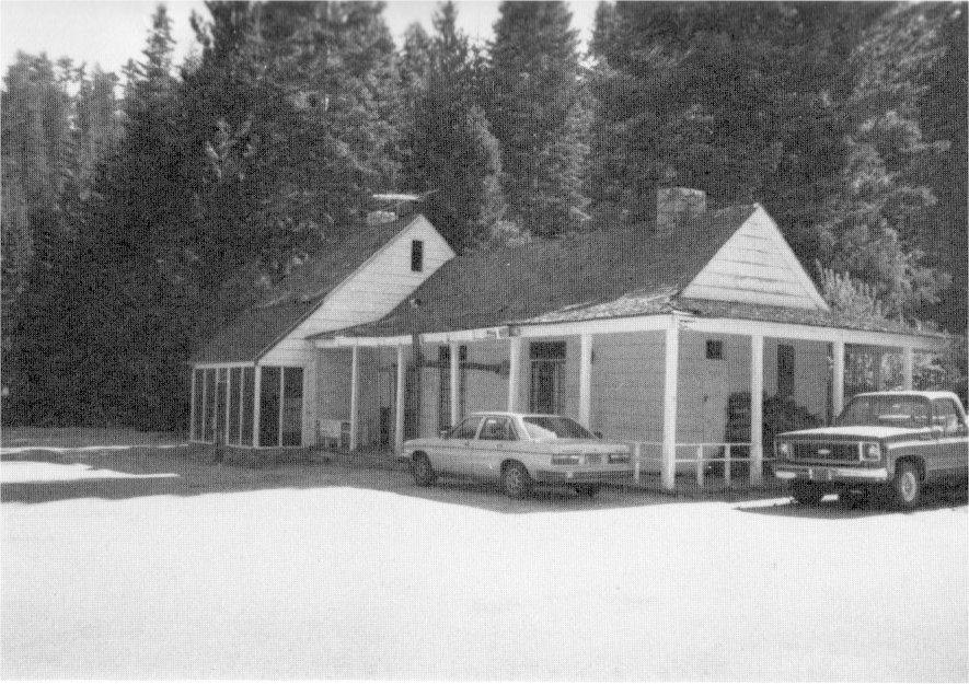
[click to enlarge] |
Illustration 177.
Chinquapin barn, to west. 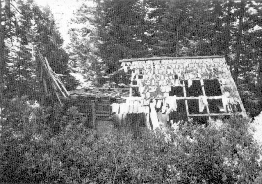
[click to enlarge] |
|
Illustration 178.
Chinquapin barn, to south. |
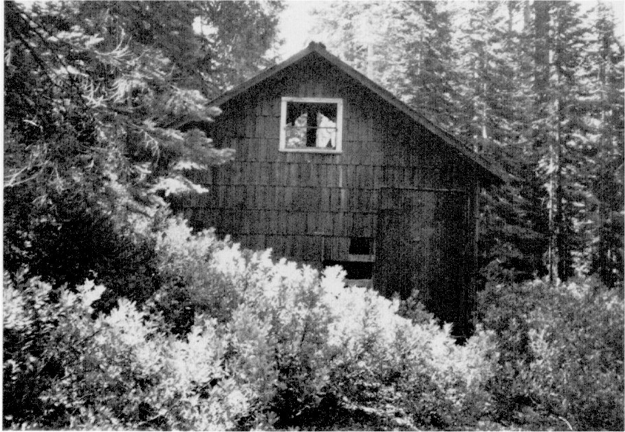
[click to enlarge] |
|
Illustration 179.
Hetch Hetchy comfort station. |
|
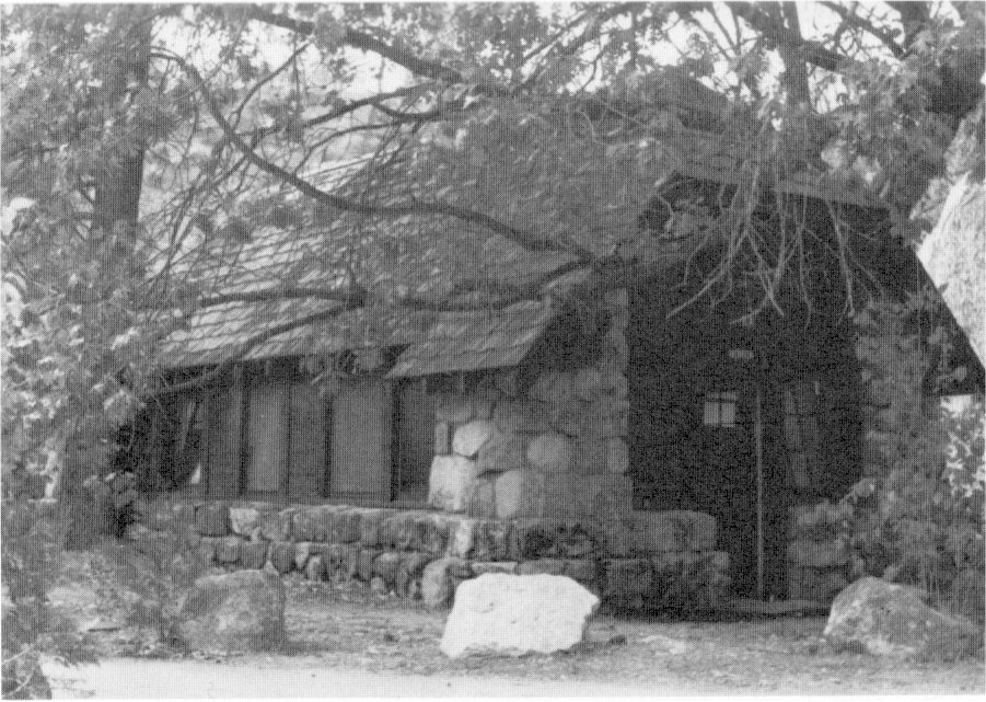
[click to enlarge] |
Illustrations 180-81.
Mather ranger station/residence. Photos by Robert C. Pavlik, 1984. 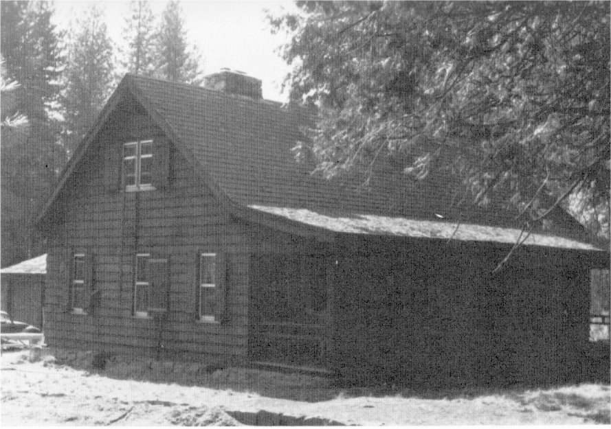
[click to enlarge] |
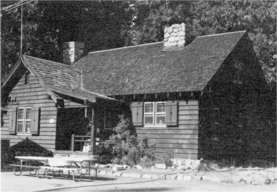
[click to enlarge] |
|
Illustration 182.
Mather barn. |
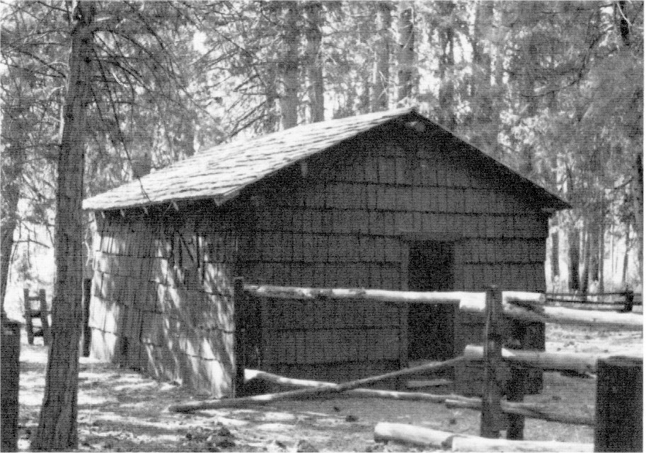
[click to enlarge] |
|
Illustration 183.
Old cookhouse/residence, Mather. Photos by Robert C. Pavlik, 1984. |
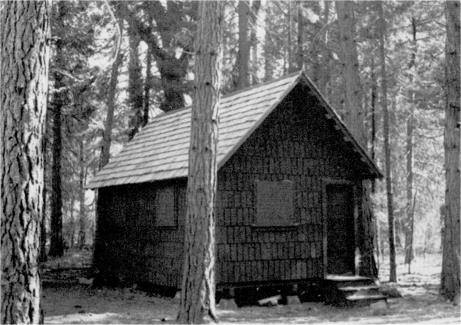
[click to enlarge] |
at South Entrance: placing the Alder Creek checking station at the intersection of the Mariposa Grove road and State Route 41. This comprised a temporary measure because of the lack of funds for construction of a permanent station. The ranger on duty there lived in a tent. The addition of a checking station reflected the new boundary line resulting from the 1932 Wawona acquisition; moving the ranger station at Four-Mile to the park boundary at South Entrance.47
[47. Ibid.]
4. Season of 1934
During the season of 1934, workers accomplished a multitude of construction projects, chief among them being:
at Hetch Hetchy: Completing a comfort station;
at Lake Eleanor: Rebuilding the fish trap at Frog Creek;
at Mather: Completing the ranger residence. This four-room cabin served as the park’s administrative center concerned with cattle grazing along the park boundary and activities at the city of San Francisco’s recreational camp at Mather. Two rangers there patrolled the northwest portion of the park and its fishing area and checked cars.48
[48. Master Plan Development Outline, ca. 1940, RG 79, Cartographic Archives Division, NA, Alexandria, Va.]
at Merced Grove: Completing a ranger cabin;
at Tioga Pass: Completing the entrance gates and a comfort station;
at Tuolumne Meadows: Completing four bunkhouses at the new maintenance camp in the utility area, plus a mess hall, kitchen, and toilet-shower building (relocation of the Tioga Road had necessitated demolition of the former housing area used by road maintenance and construction crews during the summer); completing three frame comfort stations and an addition to one erected in 1931;
at Merced Lake: Enlarging the ranger cabin and adding a fireplace;
in Yosemite Valley: Razing of the old 1912 army hospital northeast of Yosemite Lodge; adding a new bathroom to the old Chris Jorgensen residence near Sentinel Bridge; completing a four-family apartment unit and a nurses’ quarters on the second floor of the hospital’s six-stall rubble masonry garage; completing three employees’ residences; moving the old granary near the Lost Arrow residential section to the east between two barns; razing the old government building in the Old Village used as a laundry by the Yosemite Park and Curry Company; placement of finishing touches on the Camp 14 entertainment area, including a stage platform and benches; removing the old concrete piers remaining after the footbridge across the Merced River to the Old Village had been torn down; completing a comfort station near the Vernal Fall Bridge;
at Glacier Point: Completing a comfort station, a four-stall barn, and an eighty-car parking area;
at Chinquapin: Completing the ranger station. The early ranger station, maintenance camp, and tourist facilities had been nearly all destroyed by the fire of 1932, and the remaining structures torn down when a new parking area was constructed in 1934. The new ranger station and comfort station, plus the concessioner’s service station/lunchroom would complete the new complex. The Chinquapin junction was being developed in accordance with a plan prepared by the Branch of Plans and Design of the Park Service. The Alder Creek barn was being moved to Chinquapin.
|
Illustration 184.
Present Tuolumne Meadows visitor center (old CCC mess hall). |
[click to enlarge] |
|
Illustration 185.
Employee housing (former bunkhouses), Tuolumne Meadows. Photos by Gary Higgins, 1984. |
[click to enlarge] |
|
Illustration 186.
Merced Lake ranger station. 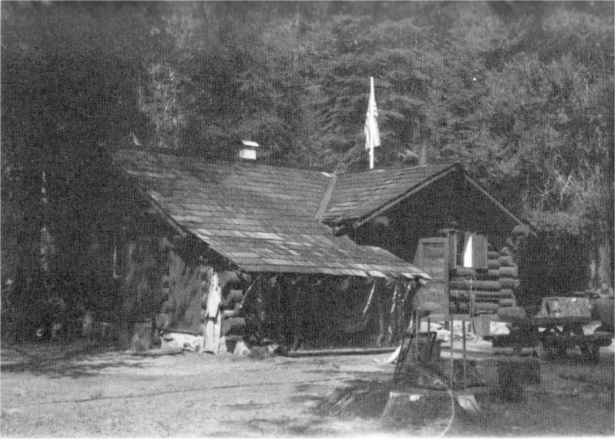
[click to enlarge] |
Illustration 187.
Miguel Meadow barn. 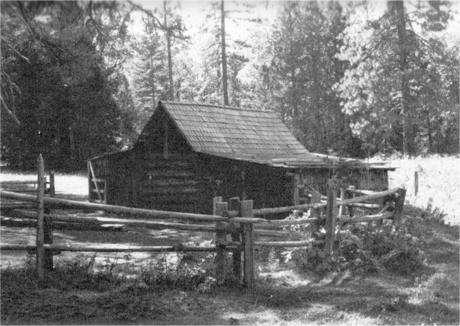
[click to enlarge] |
|
Illustration 188.
Miguel Meadow guard station. Photos by Robert C. Pavlik, 1984. 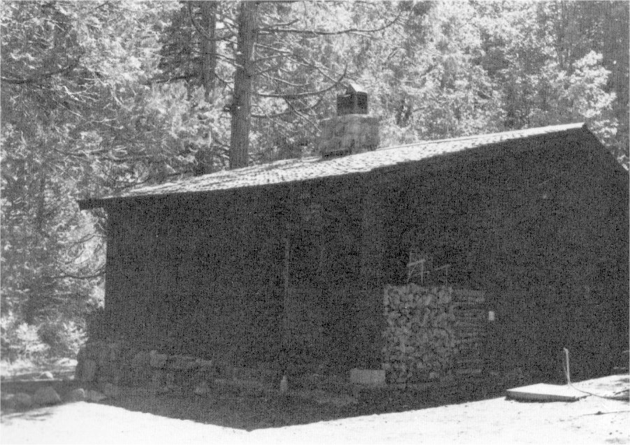
[click to enlarge] |
Illustration 189.
Henness Ridge fire lookout. 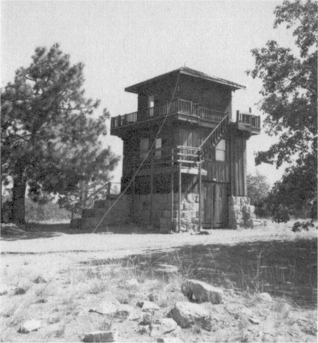
[click to enlarge] |
|
Illustration 190.
Wawona ranger station/residence #4000. 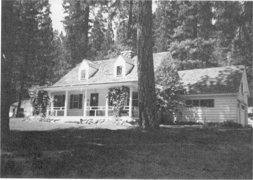
[click to enlarge] |
Illustration 191.
Wawona residence #4003. 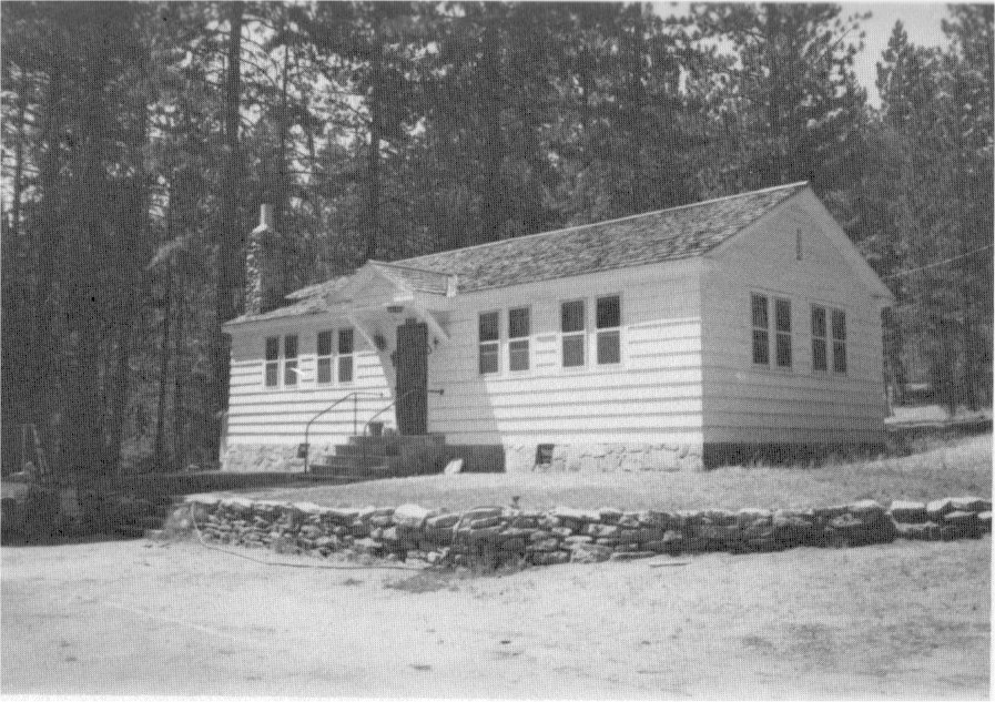
[click to enlarge] |
|
Illustration 192.
Wawona ranger station/residence #4001. Photos by Robert C. Pavlik, 1984. 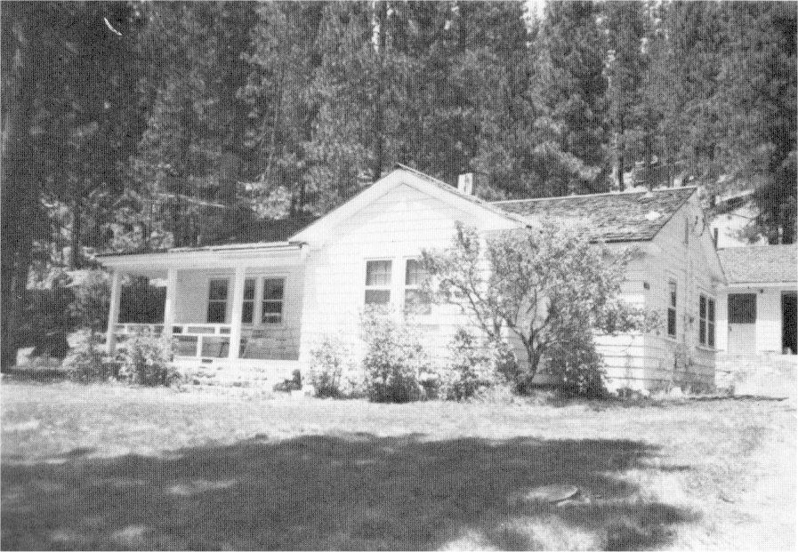
[click to enlarge] |
Illustration 193.
Wawona equipment shed #4052, to northeast. 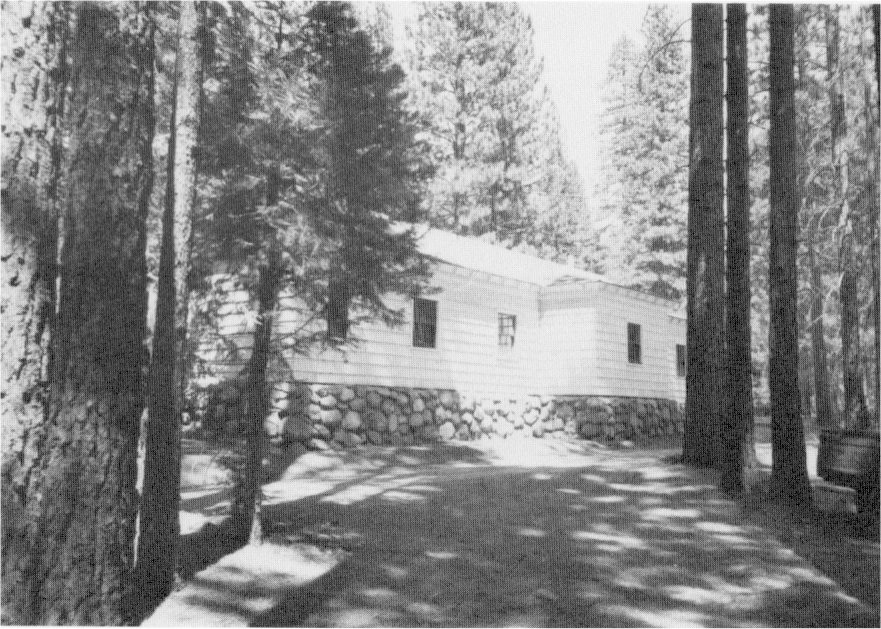
[click to enlarge] |
|
Illustration 194.
Wawona equipment shed #4052, to southwest. 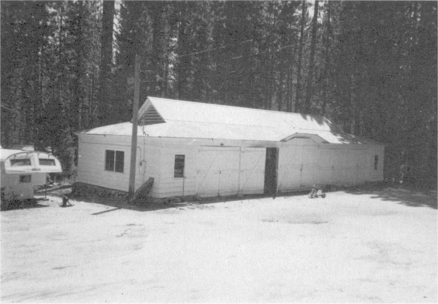
[click to enlarge] |
Illustration 195.
Wawona barn, utility area. 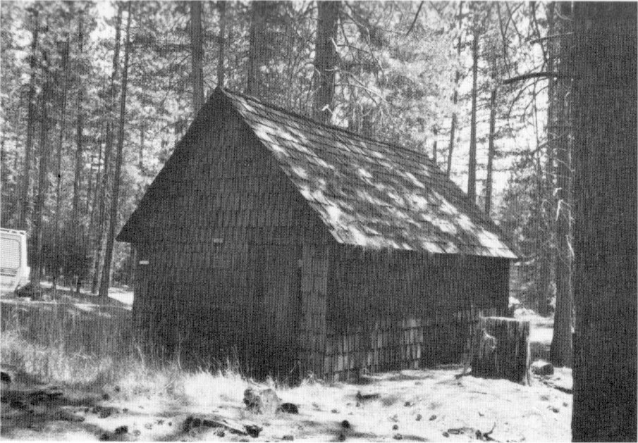
[click to enlarge] |
|
Illustration 196.
Wawona blister rust camp repair garage. Photos by Robert C. Pavlik, 1984. 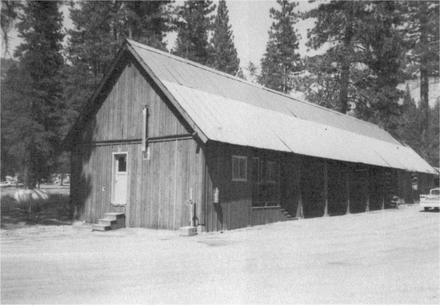
[click to enlarge] |
Illustration 197.
Wawona maintenance yard, to east. 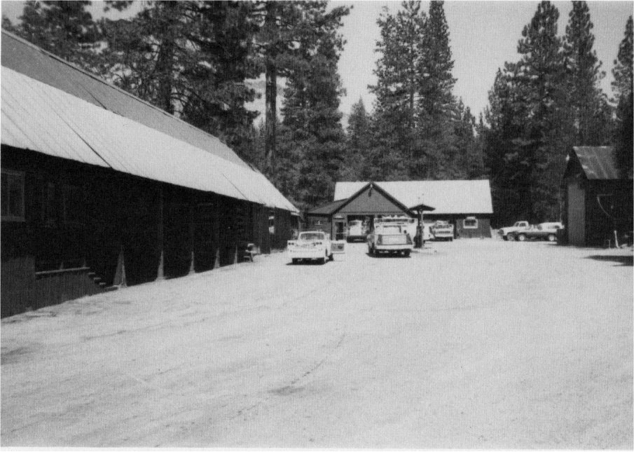
[click to enlarge] |
|
Illustration 198.
Wawona district ranger office #4027. 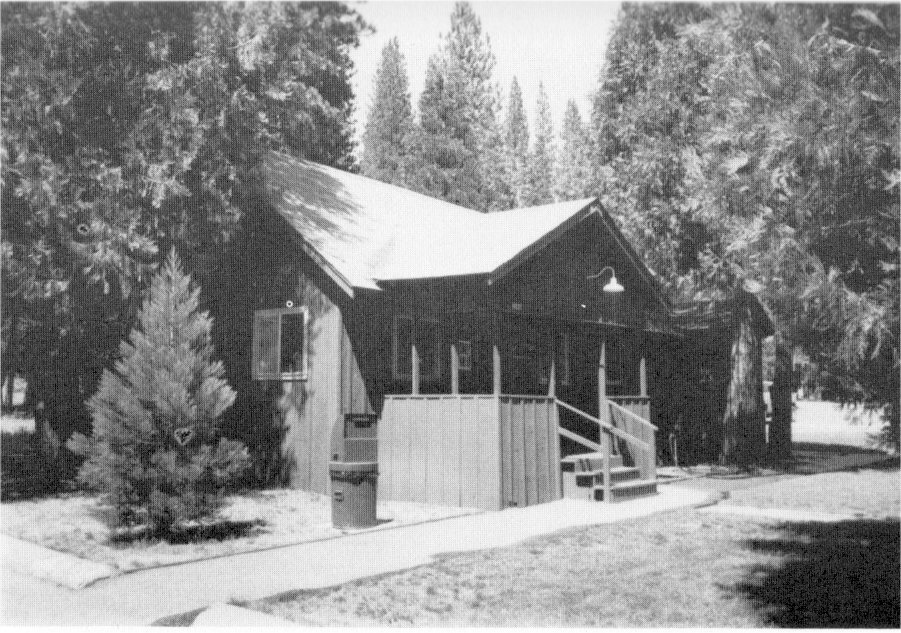
[click to enlarge] |
Illustration 199.
Wawona ranger office #4002. 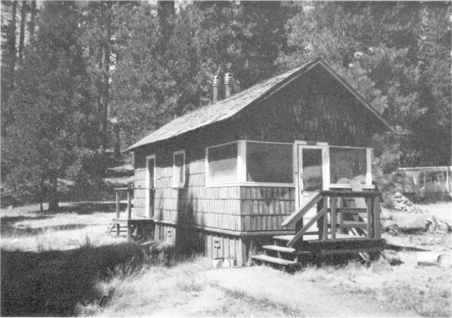
[click to enlarge] |
|
Illustration 200.
Wawona teacherage and school. Photos by Robert C. Pavlik, 1984. 
[click to enlarge] |
|
Illustration 201.
Wawona barn. |
|
[click to enlarge] |
Illustration 202.
Wawona residence occupied by Curry Company employee (store manager). 
[click to enlarge] |
|
Illustration 203.
Wawona wagon shop (former Chinese laundry). Photos by Robert C. Pavlik, 1984. 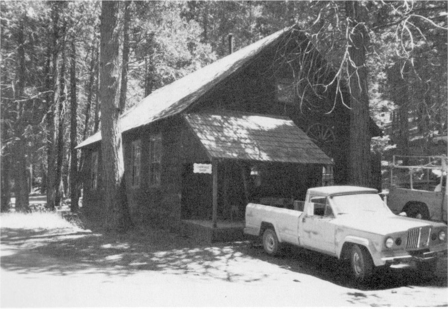
[click to enlarge] |
Illustration 204.
Wawona store and post office. Photos by Robert C. Pavlik, 1984. 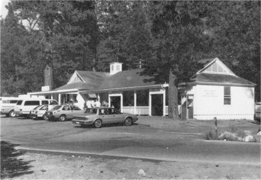
[click to enlarge] |
at Henness Ridge: Completing a fire lookout. The Park Service Branch of Plans and Design prepared the plans for the three-story frame structure on a granite rubble masonry foundation. The first floor served as a garage, the second for living quarters, and the third for observation. In October 1934 construction began on the Miguel Meadow fire guard cabin, headquarters of a fire protection district north of the Tuolumne River adjacent to the Lake Eleanor road. The fire guard stationed there communicated by telephone with the valley floor ranger station and park fire lookouts. Previously the guard had lived in tent quarters. The Miguel Meadow cabin was part of the park’s fire protection program worked out with the aid of J. D. Coffman. The Branch of Plans and Design prepared plans for the structure. In addition to the single-story frame cabin, a barn and corral for pack stock and patrol horses were constructed in the meadow that same year and in 1935 storage buildings were erected. Nearby stood a CCC stub camp.
at Wawona: Completing a ranger station and residence; removing old buildings in the Camp A. E. Wood area near the new public campground; erecting a new garage at the ECW camp; completing a new equipment shed.
at South Entrance: Completing the new Four-Mile complex, an area planned for development as a result of acquisition of the Wawona Basin. It included a ranger station, checking kiosk (present office), and comfort station. The old checking station was removed at this time. The Four-Mile residence had two divisions—one a dormitory and the other a single-family residence.49
[49. West of the South Entrance Station today are remains of a sewer system that served the dormitory building and comfort station. These consist of a redwood-lined cesspool structure set flush with the ground and sludge draining lines. Construction on them took place sometime between September 1933 and October 1934. C. G. Thomson, “Final Report . . . Sewer System Extension and Improvements”; Superintendent’s Monthly Reports, January-December 1934, microfilm roll #3, Yosemite Research Library and Records Center.]
5. Season of 1935
Accomplishments of 1935 included:
at Mather: Completing the ranger residence garage and storage building;
at Tuolumne Meadows: Razing the old government mess hall and cook house;
in Yosemite Valley: Removing the fence around the pioneer cemetery and transplanting some of the cedar trees to new locations, changing the entrance, mounding and marking graves, and laying out paths; beginning razing of the old electric, paint, and carpenter shops that were being supplanted by a new utility building; constructing the new utility building, removing the rest of the old shops around it, and grading the area; razing the aged and deteriorated Rock Cottage in the Old Village; removing large rocks in the New Village plaza to improve the appearance of the area; improving the campground system by instituting thirty-day camping limits to lessen crowding and help reclaim vegetation and a system of rotational use of campgrounds to spread the camping impact over a larger area and give the vegetation a chance to recuperate. Plans were also made for using the “Meinecke System” of delineating campgrounds (advocated by Dr. E. P. Meinecke, Principal Pathologist, Division of Forest Pathology, Bureau of Plant Industry, U. S. Department of Agriculture), involving fixing the location of the car, the fireplace, and the table so that each campsite is readily identifiable;
at Chinquapin: Completing the garage building at the ranger station; installing drinking fountains and faucets along the Wawona Road between Yosemite Valley and Chinquapin;
at Eight-Mile: Constructing a cooperative field laboratory and insectary building to be staffed by Bureau of Entomology personnel;
|
Illustrations 205-6.
Eight-Mile insect control laboratory. Photos by Robert C. Pavlik, 1984. |
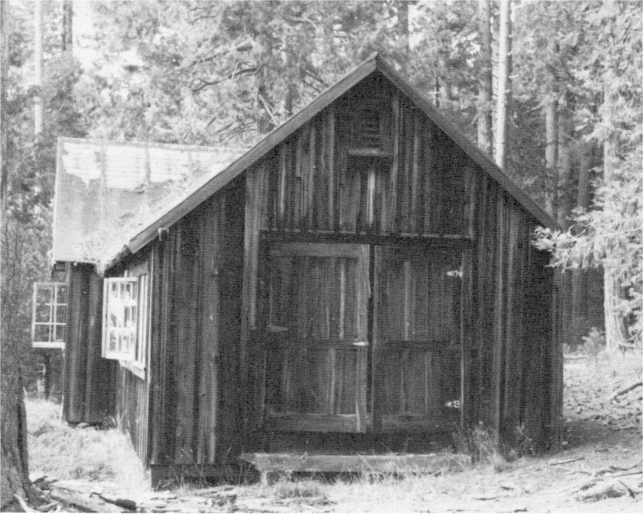
[click to enlarge] |
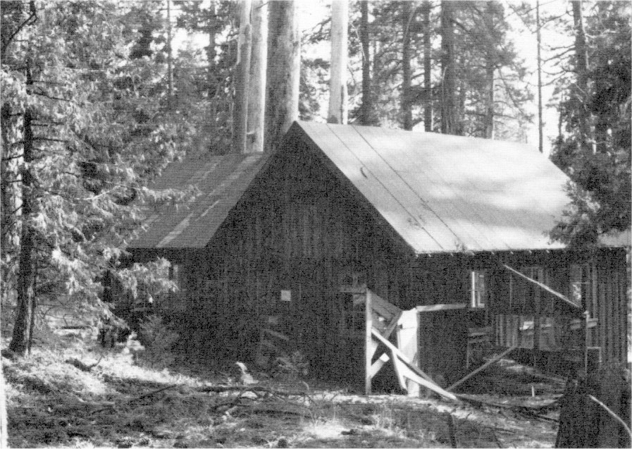
[click to enlarge] |
|
Illustration 207.
South Entrance kiosk and office. Photo by Gary Higgins, 1984. 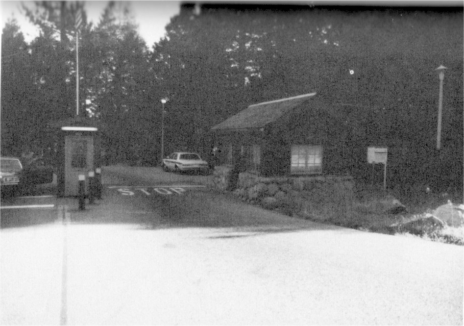
[click to enlarge] |
Illustration 208.
South Entrance office. Photo by Robert C. Pavlik, 1984. 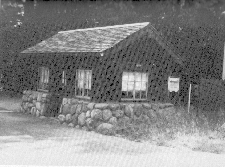
[click to enlarge] |
|
Illustration 209.
South Entrance comfort station. Photo by Robert C. Pavlik, 1984. 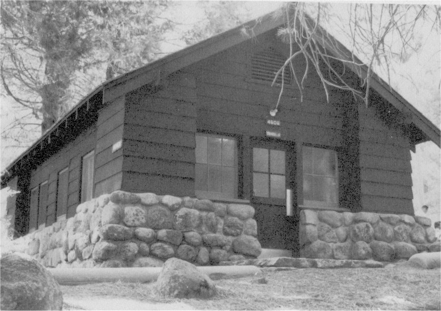
[click to enlarge] |
|
Illustrations 210-11.
South Entrance ranger station/residence. Photos by Robert C. Pavlik and Gary Higgins, 1984. |
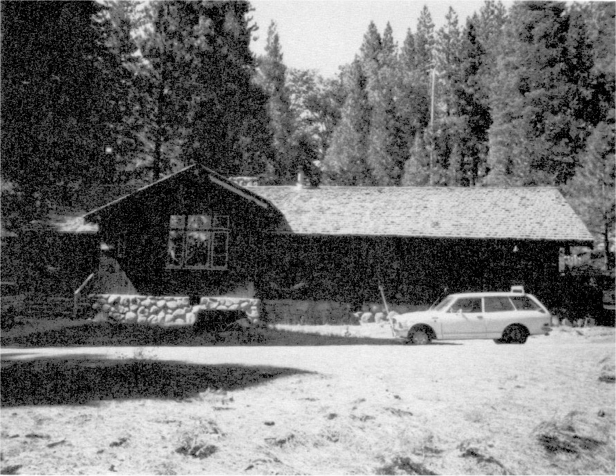
[click to enlarge] |
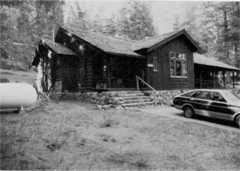
[click to enlarge] |
|
Illustrations 212-14.
Utility building, Yosemite Valley maintenance yard. Notice similarities in style between this building and the valley power plant. Photos by Gary Higgins and Robert C. Pavlik, 1984. |
|
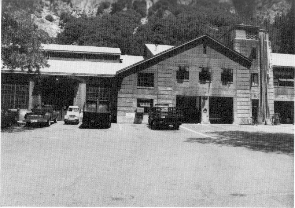
[click to enlarge] |
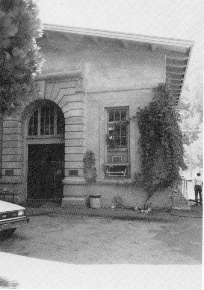
[click to enlarge] |
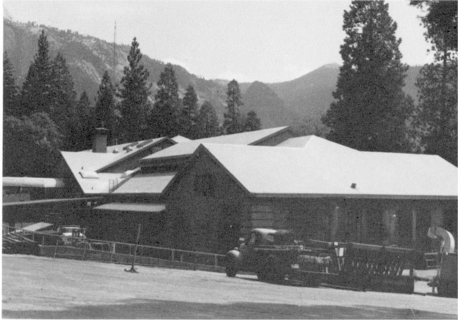
[click to enlarge] |
|
Illustration 215.
Frog Creek cabin. |
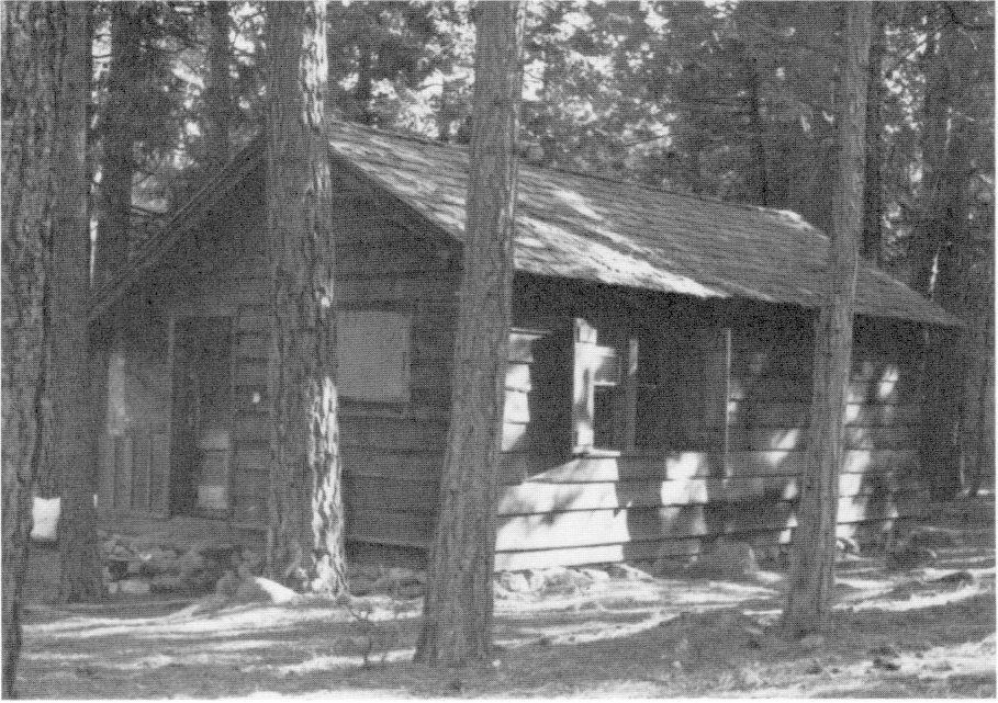
[click to enlarge] |
|
Illustration 216.
Remnants of dam, Frog Creek. Photos by Robert C. Pavlik, 1984. |
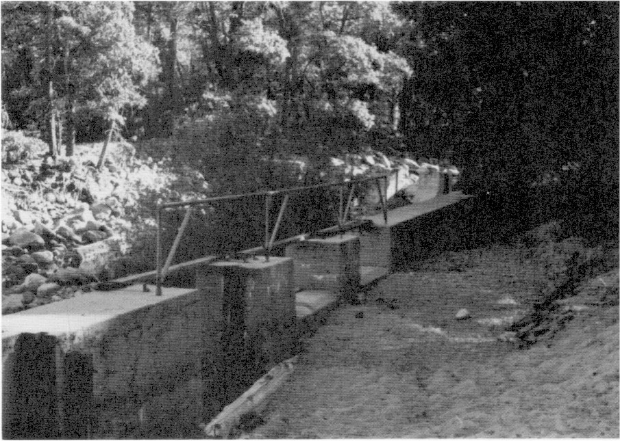
[click to enlarge] |
at Wawona: Completing the new ECW camp office building and an equipment shed;
at Four-Mile (South Entrance): Completing a garage;
at Mariposa Grove: Moving the abandoned checking kiosk to the Mather ranger station.50
[50. Superintendent’s Monthly Reports, January-December 1935, microfilm roll #3, Yosemite Research Library and Records Center.]
Most of the buildings projected for the new Yosemite Village had been completed by the spring of 1935. One of the major buildings constructed during the year was the new utility building in the Yosemite Valley maintenance area. Designed by the Park Service Branch of Plans and Design in San Francisco, the reinforced concrete building would eliminate the old separate and inefficient frame shop units and concentrate them in a single structure. The building contained a repair and machine shop unit, a sign shop, a fire station, a blacksmith unit, carpentry and upholstery shops, an electrical department, an auto paint shop, a building paint shop, and a plumbing and sheetmetal shop. This was the first fire-resistant unit built in the utility area in the valley. The government utility area at around this time consisted of thirty-one structures, comprising shops, barns, and storage warehouses. Most of them had been erected around 1921-22 of salvaged material. A laborer’s quarters area consisted of ten light frame sleeping cabins and tent platforms with a mess hall and shower/toilet building for 184 men.51
[51. Master Plan Development Outline, ca. 1938, RG 79, Cartographic Archives Division, NA, Alexandria, Va.]
6. Season of 1936
Work in 1936 involved:
at Lake Eleanor: Completing a dwelling at Frog Creek;
at Tuolumne Meadows: Constructing a new ranger contact station at the main campground entrance. The naturalist’s quarters and old ranger dwellings now stood isolated along a portion of the old Tioga Road;
in Yosemite Valley: Razing the residence formerly occupied by Gabriel Sovulewski and restoring the site to a natural condition. After Sovulewski retired, the Park Service decided the large, two-story house could not be moved without danger of collapse or removal of several of the surrounding oak trees. Officials finally decided to dismantle the house and construct a smaller residence in another area using salvaged material.52
[52. Pavlik, “The Hutchings-Sovulewski Homesite, Yosemite Valley,” 8-9.]
at Wawona: Completing a new mess hall.53
[53. Superintendent’s Monthly Reports, January-December 1936, microfilm roll #3, Yosemite Research Library and Records Center.]
7. Season of 1937
a) General Construction
Construction and maintenance tasks in 1937 involved, in Yosemite Valley, initiating work on a residence for the school bus driver west of the valley schoolhouse and completing a footbridge across the Merced River to the Old Village; and, at Wawona, constructing a schoolhouse with the aid of the CCC and removing the old tennis court and razing three old buildings (described as two barns and a former stage depot) from the area behind the gas station.54 Landscape Architect R. L. McKown also noted in May that the pit in Miguel Meadow being excavated by the City of San Francisco for sand, which was conveyed to the Hetch Hetchy Dam by a three-mile-long aerial tramway, was extremely large, indicating that Yosemite would acquire a fair-sized lake when dam-raising ended. McKown had staked an outline for the contractor ensuring a natural-looking shoreline. The area is now known as Gravel Pit Lake.55 At Hetch Hetchy by the end of 1937 the machine shop, an old warehouse, the company office building, and four cottages had been removed from the dam area. Superintendent Lawrence C. Merriam planned to retain two cottages on the upper side of the road for park purposes. The city had begun construction of its guest house as well as remodeling of existing houses.56
[54. “Monthly Narrative Report to Chief Architect by R. L. McKown, Resident Landscape Architect, April 25 to May 25, 1937,” Architectural Reports, 1927-1939, in Box 28, Yosemite Park and Curry Company, Yosemite Research Library and Records Center, 4; Superintendent’s Monthly Reports, January-December 1937, microfilm roll #3, Yosemite Research Library and Records Center.]
[55. McKown, “Monthly Narrative Report,” 25 April to 25 May 1937, 8.]
[56. McKown, “Monthly Narrative Report,” 25 November to 25 December 1937, 8.]
b) Flood Damage
As mentioned in the preceding section, the most serious situation in the park’s history occurred as a result of the devastating storm that inundated Yosemite Valley and its environs with almost twelve inches of rain in December. Overflowing waters and sheets of mud and other debris inflicted an enormous amount of damage on roads, trails and paths, bridges, electric and telephone systems, water and sewer systems, buildings, campgrounds, and signs. Rushing waters even washed away the egg-taking development at Frog Creek, except for the cabin. The flood reached its peak at 3:00 p.m. on 11 December.
Specific flood damage to structures entailed
at Arch Rock: Destruction of the parking area, undermining of the unit building housing the ranger’s dormitory, comfort station, and garage, and moving of a portion of the main structure off its foundation;
in Yosemite Valley: Inundation of Camps 6 and 16, flooding of the first floor of the Old Village store and the chapel, flooding of the superintendent’s house and government houses at Sentinel Bridge (residences #50-51), flooding of the Yosemite Lodge cabin area and removal of some structures from their foundations, and submerging of six public campgrounds at the upper end of the valley.57
[57. Ibid., 2.]
at Cascades CCC camp: Washing away of four of the large barracks and the officers’ quarters, leaving only the chimney, and damage to the mess hall and recreation building. The enrollees escaped to El Portal by forming human chains across flooded stretches of the road. The Army District Commander refused to approve rehabilitation of this site. An acceptable new location was found north of the All-Year Highway, just west of the El Capitan checking station. At first the displaced enrollees were housed in the school at El Portal and later at other CCC camps in the region. It was imperative, however, to return them to Yosemite immediately to assist in repair of flood damage. They were finally quartered in two Yosemite Park and Curry Company employee bunkhouses and in the old school at Wawona until new quarters were constructed.58
[58. Ibid., 4.]
c) New CCC Cascades Camp Constructed
Only sparse details are available about the area into which the new Yosemite CCC camp was moved, between present Northside Drive and the old Big Oak Flat Road, west of Ribbon Creek. By 1917 an auto checking station had been located at El Capitan to serve incoming visitors on the Big Oak Flat Road. A section of old road heading east from the Big Oak Flat Road across Ribbon Creek and on into the meadow near El Capitan where it intersects with another road section now used as a bridle path may be part of the original Northside Drive. In 1924 the park erected a frame, two-room ranger residence and in 1926 a checking kiosk and two comfort stations in the vicinity of El Capitan near the old Big Oak Flat Road. Three years later, however, the park moved the checking kiosk downstream to Arch Rock. Camp YNP-6, Cascades, was rebuilt near these earlier structures. Work began on this new Cascades Camp YNP-20 in January 1938 and occupation took place in mid-April. A December 1940 plat of the camp shows:
four barracks buildings, 20 by 130 feet
one education building west of the barracks, 20 by 119 feet
one recreation hall southwest of the barracks, 20 by 100 feet
one centrally located washroom and latrine, 20 by 55 feet
one laundry north of the washroom, 20 by 30 feet
one mess hall south of the barracks, 20 by 160 feet
one officers’ and foreman’s quarters southeast of the barracks, 20 by 120 feet
one administration building east of the officers’ quarters, 20 by 40 feet
one ECW toolroom northeast of the administration building, 35 by 50 feet
one ECW garage north of the toolroom, 30 by 100 feet
Other buildings included an infirmary, oil house, maintenance shop, blacksmith shop, foreman’s garage, and storehouse. The Cascades camp was evacuated by early August 1942 and its equipment turned over to the U. S. Army. By November the army had removed all portable buildings and the remaining structures were to be turned over to the National Park Service. The date of their removal is not known.59
[59. Development Outline in Master Plan folders, ca. 1940, RG 79, Cartographic Archives Division, NA, Alexandria, Va.; Plat of Camp YNP-20, Cascades, 20 December 1940, in Yosemite Research Library and Records Center; Bob Pavlik to Scott Carpenter, 24 April 1986, re: CCC camp at present-day wood yard.]
The 1937 flood damage necessitated a massive cleanup job clearing roads of debris, resiting structures washed off their foundations, cleaning up campgrounds, repairing bridges, and reconstructing trails. Repair work by CCC crews included raising the Arch Rock unit twenty-two inches above its former level and constructing a new rubble masonry foundation to that level as a precaution against future flooding. A rock parapet wall was also constructed around the unit and the parking lot.
8. Season of 1938
In 1938 improvement work and flood damage repair continued. The period occupied in making residences habitable again extended from December 1937 to October 1938. During the latter year the men accomplished
at Lake Eleanor: Constructing a new dam and fish ladder at the Frog Creek egg-collecting station;
in Yosemite Valley: Clearing and grading for the new CCC camp west of the Big Oak Flat Road and the El Capitan ranger station; constructing another new employees’ residence in the Lost Arrow section; and razing the Sentinel Hotel and Ivy and River cottages;
at Badger Pass: Placing cabins for winter ranger occupancy.60
[60. Superintendent’s Monthly Reports, January-December 1938, microfilm roll #3, Yosemite Research Library and Records Center.]
In late spring 1938, the San Joaquin Light and Power Corporation installed a new substation immediately west of the Yosemite power plant and installed protective riprap around the base of the station on the river side. Other protective work against flooding involved construction of the major portion of a barrier wall in January to divert spring floodwaters and extension of it during the summer of 1938. The
|
Illustration 217.
Map of Yosemite National Park, 1939. From “Guide Map, Yosemite National Park,” 1939, courtesy Western History Section, Denver Public Library. |
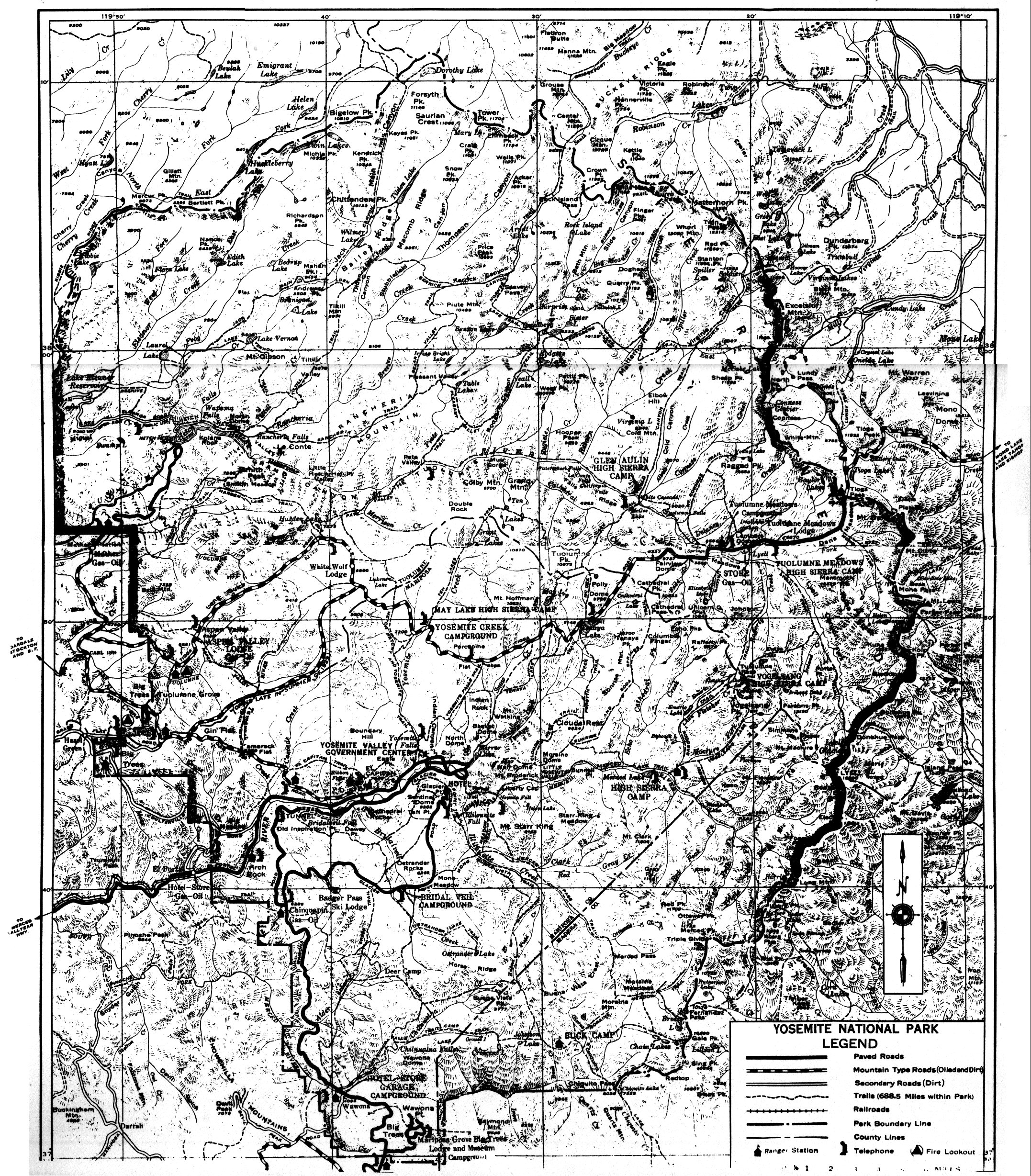
[click to enlarge] |
[61. Lawrence C. Merriam, “Final Report—Flood Damage Repaii—Physical Improvements,” January 1940, in Box 11, Floods and Water Supply, Yosemite Research Library and Records Center.]
A sixty-man maintenance camp in the Mariposa Grove in 1938 consisted of a frame mess hall (1931), storeroom (1931), meat room (1926), shower (1931), and toilet (1931). Tent platforms provided shelter62
[62. Master Plan Development Outline, February 1938, RG 79, Cartographic Archives Division, NA, Alexandria, Va.]
and a gas station had been moved there in 1936. After 1926 and the completion of the Ail-Year Highway, railroad travel to El Portal diminished and the Yosemite Transportation Company shifted its quarters to various hotels in the park. In the late 1930s the Park Service converted the vacant transportation building to a residence. Instead of being razed in 1959 as part of the MISSION 66 program, the Park Service purchased the structure from its current owner, the Yosemite Park and Curry Company, and moved it to the Wawona Pioneer Yosemite History Center. There it was restored to its appearance of about 1912 and opened for interpretive use.
9. Seasons of 1939-40
The work season of 1939 kept CCC crews busy completing an employees’ residence, a doctor’s residence near the Lewis Memorial Hospital, and a ranger residence at Badger Pass. In 1940 CCC labor from the Crane Flat camp carried out fire hazard reduction work at Carl Inn, where the remains of houses used for resort purposes previous to the Carl Inn Addition to the park were razed. They had been badly damaged in the flood of December 1937 and were in an extremely co ramshackle state.63 In 1939 the South Entrance layout was revised and a new checking kiosk installed by 1940. Demolished in 1958, it was replaced by a MISSION 66 structure, which still stands. The South Entrance layout has undergone numerous changes through the years, with landscape architects, especially John Wosky, believing that it never fulfilled the park’s needs in regard to traffic and circulation control.
[63. Superintendent’s Monthly Reports, January-December 1939, microfilm roll #4, Yosemite Research Library and Records Center.]
As a result of a study made in 1938 on Yosemite campgrounds, and, on the basis of subsequent recommendations to the superintendent, a CCC project was started in Campground 11 in Yosemite Valley in 1940 to install individual campsites using a modified Meinecke system. Park officials hoped that this would alleviate the damage done to vegetation by unregulated camping practices and overcrowding of campgrounds. At the same time, CCC labor attempted to regulate the former heavy use of riverside sites at the Tuolumne Meadows campground and channel more activities to sites more remote from the river.64
[64. The Yosemite Advisory Board remained skeptical about extending the outlining of campsites according to the Meinecke plan within Yosemite Valley. After considering all the pros and cons, the board concluded it would be unwise to apply the plan extensively to campgrounds in Yosemite Valley, although it believed one campground laid out in that manner would enable a comparison as to camper preference, ease of administration, flexibility under camper population pressure, and cost and upkeep. The board did not believe the Meinecke plan a feasible application in the valley because of the anticipated increase in demand for camping spaces and the fact that the Meinecke plan decreased that number by about fifty percent. The board advised that no large-scale application of the plan be considered until provision for the campers excluded by it could be made elsewhere. It concluded, however, that campers could not be attracted away from the valley and that the campsites lost through application of that plan in the valley could only be replaced by new sites on the valley floor, which it felt to be undesirable. “Outlining Campsites in Camp Grounds, Meinecke Plan,” from discussions of Yosemite Advisory Board in Yosemite National Park, 20-23 August 1949, dated 25 August 1949, Board of Advisors file, 1949 to 1953, in Box 10, Advisory Board Correspondence and Files, Yosemite Research Library and Records Center.]
Checking stations were located at five different sites on the Big Oak Flat Road—EI Capitan (lower end of control road), Gentry (upper end of control road), Crane Flat, Tuolumne Grove, and Carl Inn. The Gentry and El Capitan stations remained in use until 1940, chiefly for operation of the control road. After the Rockefeller purchase, a checking station was placed at Carl Inn about 1941, but in the mid-forties moved to Crane Flat. The Tuolumne Grove tent station functioned for only a short time. The new Crane Flat ranger duplex and garage were finished in 1940 upon completion and opening of the new Big Oak Flat and Tioga roads. (The old Crane Flat ranger cabin was occupied seasonally into the early 1950s and moved to the Pioneer Yosemite History Center at Wawona in 1959.) The U. S. Forest Service also constructed a lookout tower on North Mountain, accessible by a road through Miguel Meadow, during this year.
In 1940 a question arose concerning the future of Cedar Cottage, the oldest building in the park, then being used by the concessioner to house weekend guests during the winter. Park Service officials had decided, as part of the overall park plan, that because of the importance of natural resources, all other considerations should be subordinate to their welfare and every opportunity taken to return unoccupied areas to as pristine a condition as possible. This policy was to be followed in the Old Village.
Some preservationists had argued that the Sentinel Hotel, Cedar Cottage, and Oak Cottage should be considered a group to be preserved if they were found to have sufficient architectural interest and historical value. The park gave some thought to preserving Oak Cottage and Cedar Cottage as examples of early California hotel architecture and for the historical and educational value of the buildings. When officials decided to tear down the Sentinel, however, it was decided the other buildings should go also. Despite the efforts of Carl Russell and others to preserve Cedar Cottage, the members of the Yosemite Advisory Board judged its architectural and historical significance to be so minimal that it unanimously recommended its removal and that of other Old Village
|
Illustrations 218-19.
Rear of Sentinel Hotel from across Merced River. Photos by Rural Housing Authority, December 1934. NPS, Western Regional Office files. |
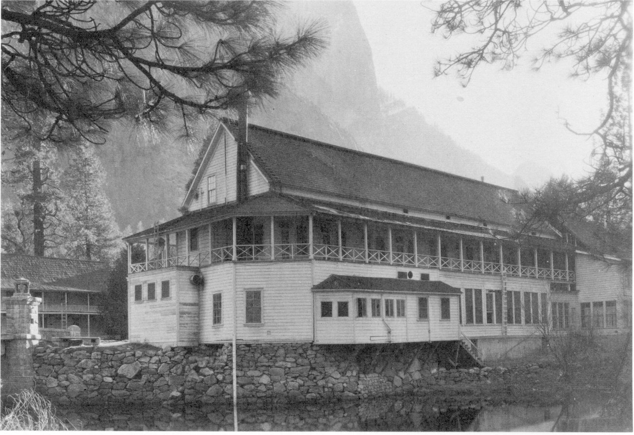
[click to enlarge] |
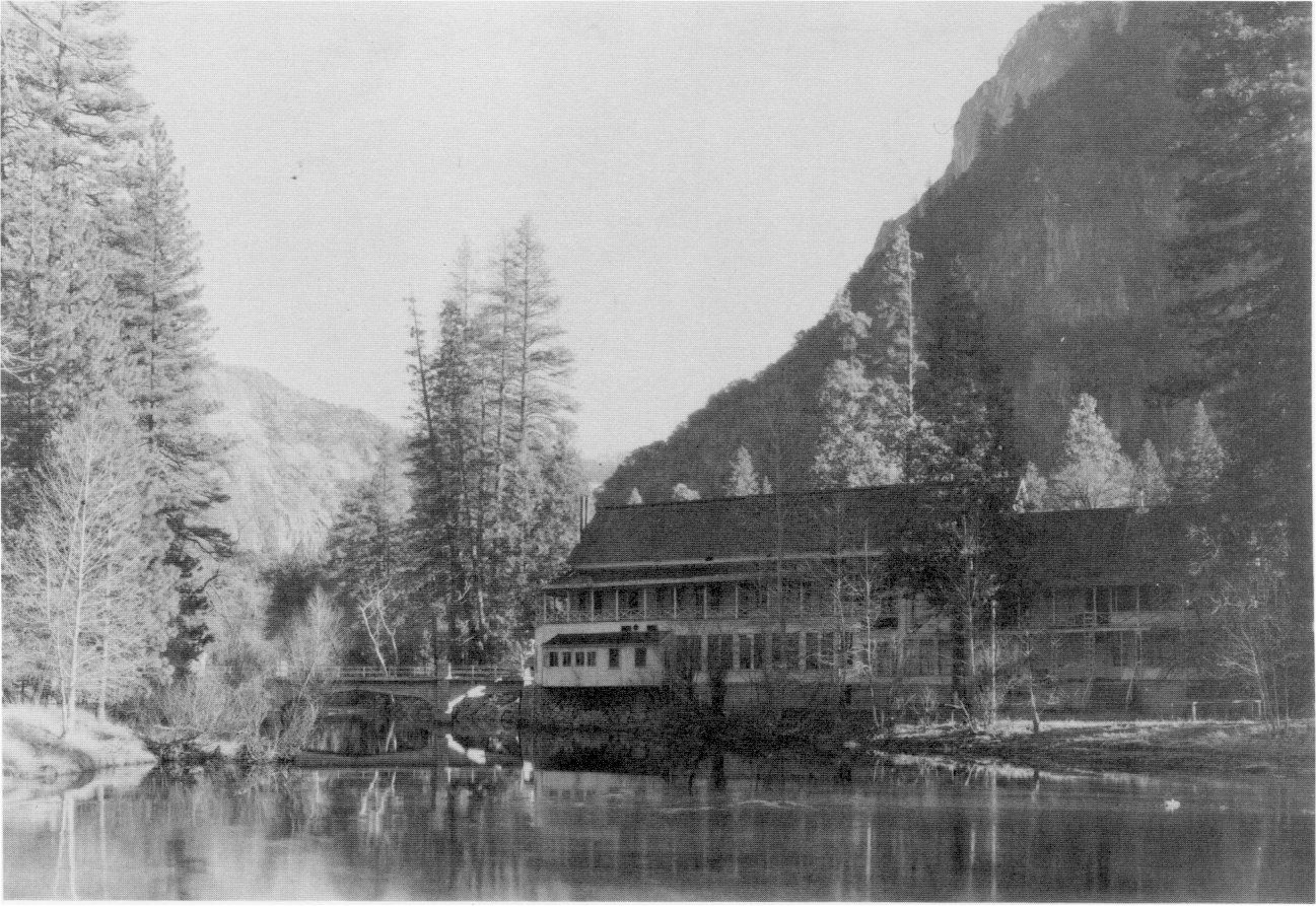
[click to enlarge] |
|
Illustration 220.
Sentinel Hotel in Old Village. Photo by RHA, spring 1935. NPS, Western Regional Office files. |
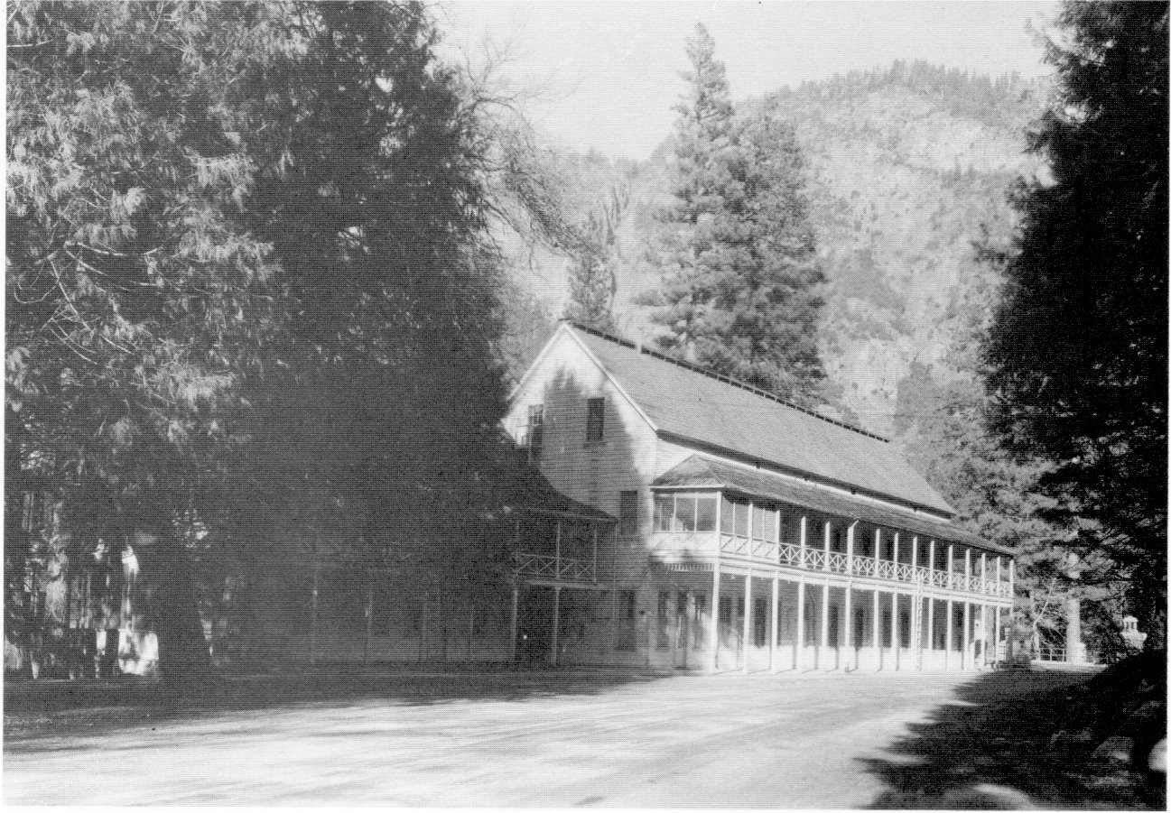
[click to enlarge] |
|
Illustration 221.
Front of Rock Cottage, Old Village, ca. 1935. Photographer unknown. NPS, Western Regional Offices files. |
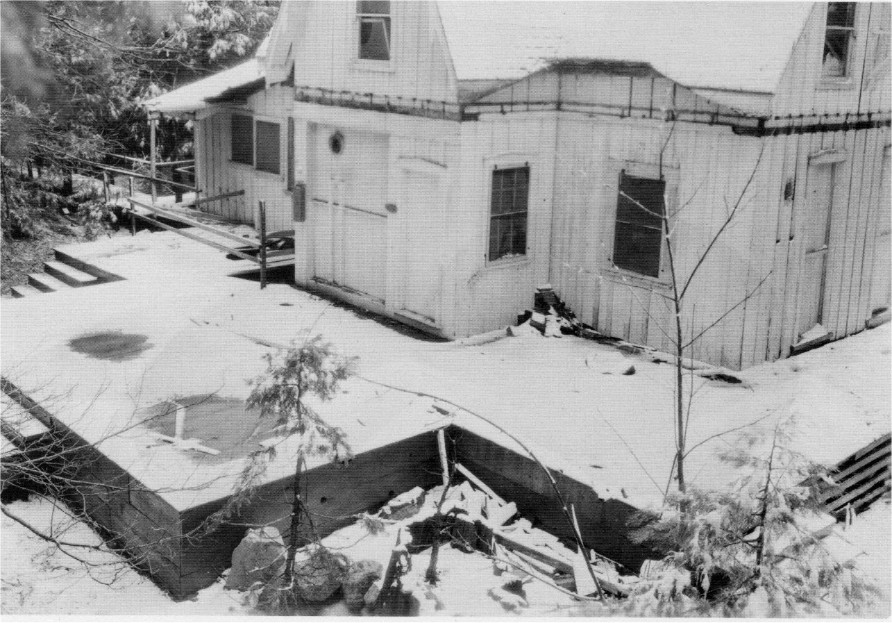
[click to enlarge] |
|
Illustrations 222-23.
Ivy Cottage, Old Village, ca. 1935. Photographer unknown. NPS, Western Regional Office files. |
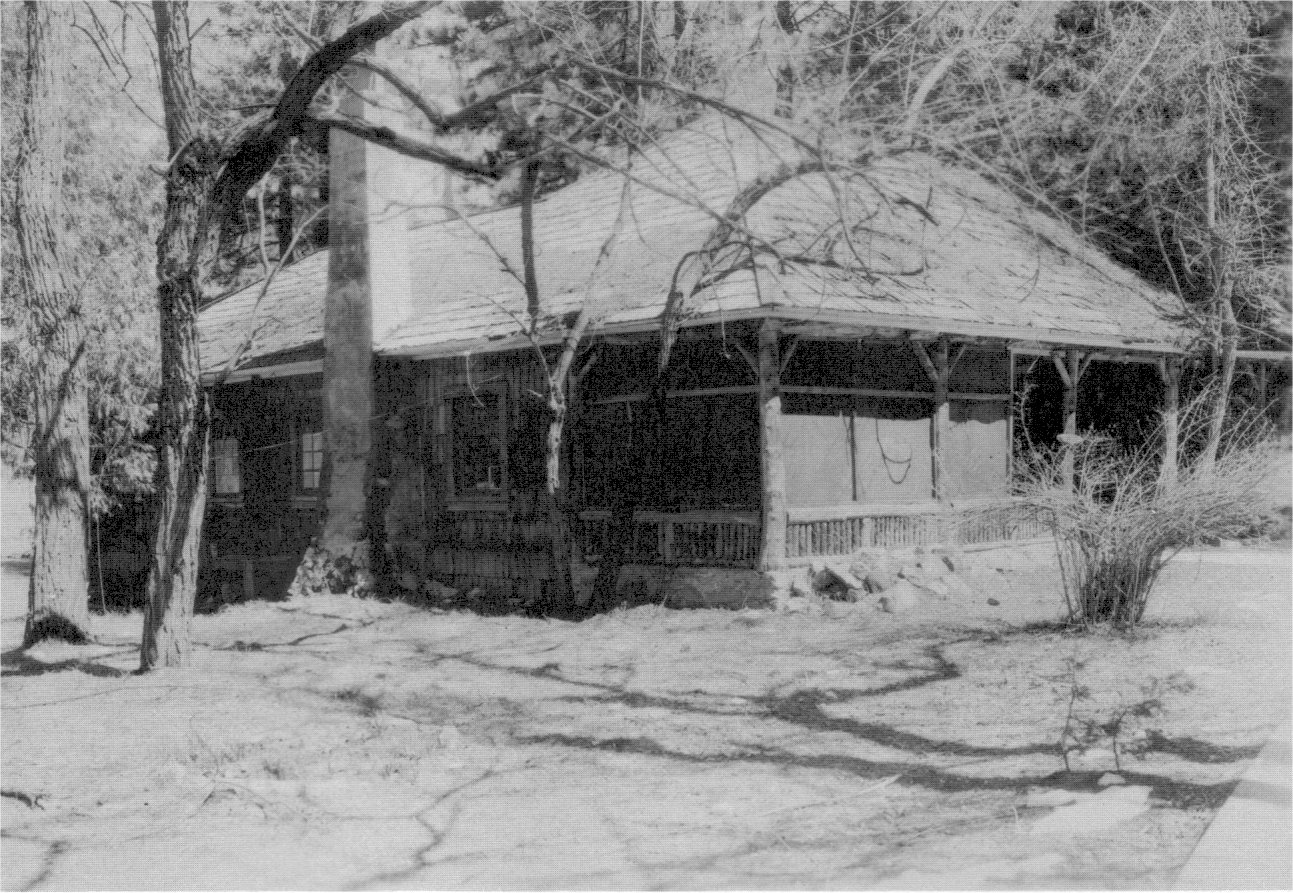
[click to enlarge] |
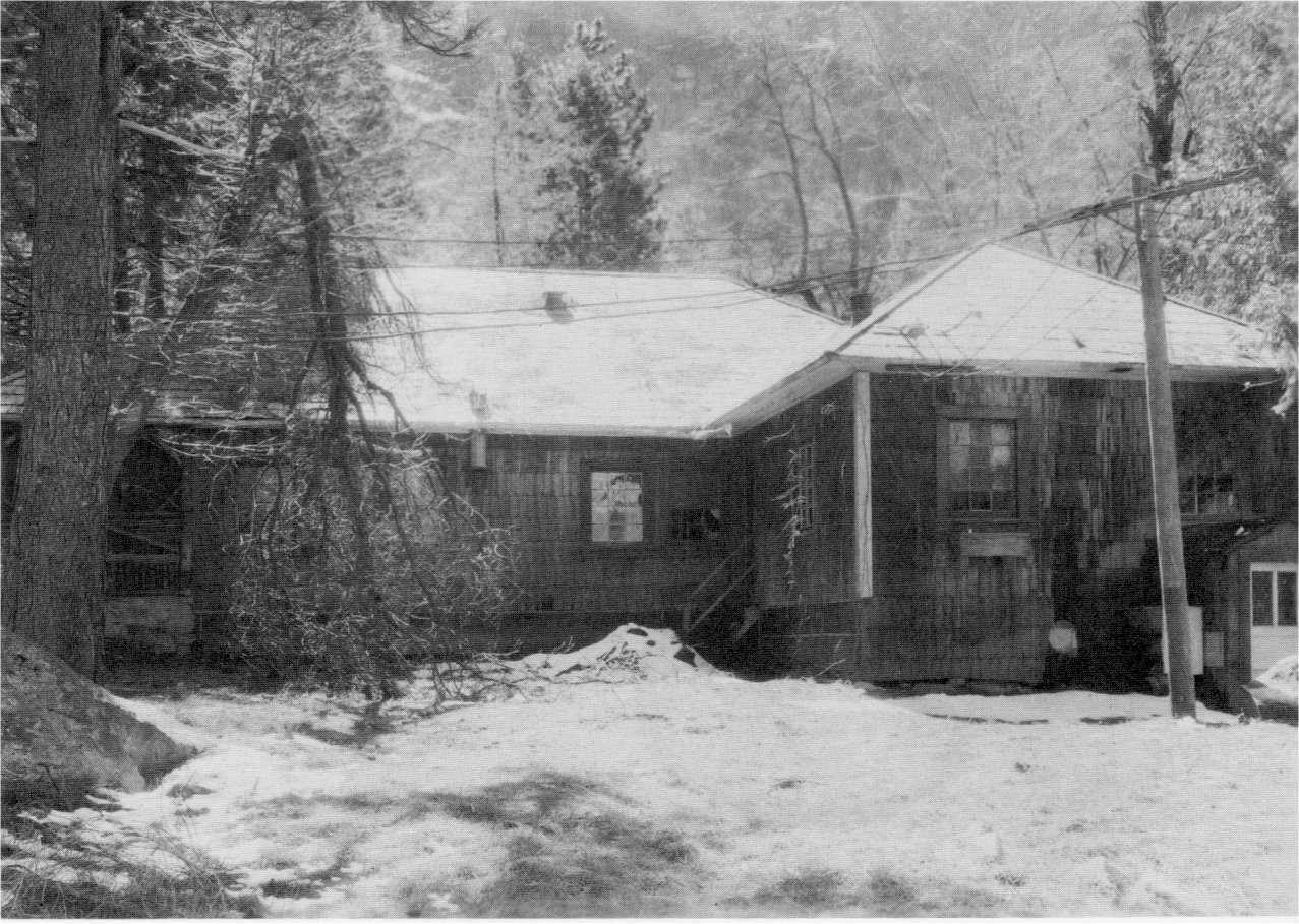
[click to enlarge] |
|
Illustration 224.
Mariposa Grove comfort station. |
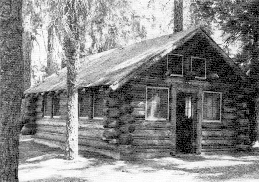
[click to enlarge] |
|
Illustration 225.
Ostrander Lake ski hut. Photos by Robert C. Pavlik, 1984. |
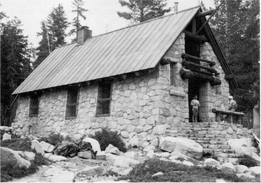
[click to enlarge] |
[65. It is interesting to note that in the discussions concerning preservation of those structures, the question was raised as to whether any attention should be paid to history in the park because of the great natural values of the area. The statement was made that “This is one park which is manifestly not an historical park.” “Minutes of the Meeting of the Yosemite Advisory Board, April 19-21, 1940, at Yosemite National Park, Califronia,” Board of Advisors file, 1940, in Box 10, Advisory Board Correspondence and Files, Yosemite Research Library and Records Center, 3. The entry of the Department of the Interior into the field of historic preservation began as early as 1906, when passage of the Antiquities Act made the preservation of historical and archeological sites one of its responsibilities. That duty also passed to the National Park Service upon its establishment in 1916. Director Horace Albright soon perceived the need for a separate body to address preservation issues and in 1931 created a historical division in the Branch of Research and Education. His action reflected the growing recognition of the importance of historical areas in the National Park System. Verne E. Chatelain, head of the new division, undertook the difficult task of reorienting the Park Service’s longstanding concern with large natural areas of the West toward a new awareness of historical features. Prior to that time, leadership in historic preservation in park areas had come primarily from individuals and private groups. ‘The immediate problems Chatelain faced are apparent in the involved discussions concerning the justification for preservation of historical features, such as Cedar Cottage, carried on in Yosemite National Park.]
Also in 1940 a small residence near the site of the former El Capitan checking station was moved immediately east of the Wawona ranger station. The comfort station at Badger Pass was completed, and a hut at Ostrander Lake was constructed through the cooperation of the CCC program. Originally the Yosemite Winter Activities Committee had recommended that two huts be constructed—one for people who wished to carry their own sleeping bags and food and one for those who desired to rent bedding and purchase meals. Because it did not seem feasible to construct two huts, and with a view to providing an experiment along the lines recommended, it was decided to provide both types of service in one structure.66
[66. Superintendent’s Monthly Reports, January-December 1940, microfilm roll #4, Yosemite Research Library and Records Center.]
As mentioned in the previous chapter, following studies by various individuals, including field biologists, the park discontinued bear feeding on the valley floor late in the 1940 season. It tore up the old feeding platforms and landscaped the old parking area to restore it to its original condition. Temporary platforms were constructed at Gin Flat, and the experimental project of trapping bears on the valley floor and hauling them to Gin Flat for release and feeding of garbage was seen as the solution to eliminating the bear nuisance problem.
10. Period of the Late 1940s
In 1941 the Oak and Cedar cottages in the Old Village were razed and bronze markers placed on large boulders to indicate their former locations and that of the Sentinel Hotel. The new Big Oak Flat Road entrance station on the western park boundary opened in May 1941 and a residence at Wawona was completed. In 1942 fire destroyed the Wawona store and post office.67 In 1943 the old Eight-Mile insect experimental laboratory was converted into a mess hall for a blister rust camp.68
[67. Superintendent’s Monthly Reports, January-December 1941-1942, microfilm roll #4, Yosemite Research Library and Records Center.]
[68. Superintendent’s Monthly Reports, January-December 1943, microfilm roll #4, Yosemite Research Library and Records Center.]
During 1945 a fire occurred in the Old Village pavilion, the movie house operated by the concessioner. In 1947 the barn at the Mariposa Grove ranger station burned, and twenty-four grave markers were made and installed in the Yosemite Valley cemetery. In that year the Wawona school became one of eleven one-teacher schools established during a reorganization in Mariposa County. The school, which began operating during the 1890-91 term, reached its peak during 1937-38. Its attendance declined gradually through the 1950s and 1960s and the school closed in 1971.69
[69. Alan Beymer, “End of the Line Nears for Wawona’s One-Room School,” Fresno (Calif.) Bee, 18 May 1971. The Park Service planned to use the building as a community center for the Wawona area; Superintendent’s Monthly Reports, January-December 1947, microfilm roll #4, Yosemite Research Library and Records Center.]
By the late 1940s questions were arising over the future uses of the park, and an effort was being made to formulate policies to guide the development program. It was generally agreed that the facilities in the valley had about reached the saturation point and further expansion would have to be accomplished elsewhere. Many of the concessioner’s obsolete buildings were in a state of dilapidation and its accommodations and supporting services were the subject of complaints from the public. The Park Service considered Yosemite Lodge, especially, a disgrace. Thought was given to developing new facilities at Wawona and Crane Flat as major visitor-use areas.
In December 1949 fire destroyed the old railroad depot at El Portal. By 1950 the Cunningham Flat Campground at Wawona was being built and the amphitheater at Camp 14 had to be demolished for safety reasons. Two residences, nos. 68 and 69, were under construction in the Lost Arrow Residential section in the valley.70
[70. Superintendent’s Monthly Reports, January-December 1949-1950, microfilm roll #4, Yosemite Research Library and Records Center.]
11. The 1950s Period Encompasses Many Changes
As stated in the previous section, torrential rains and melting snow from the high country caused flood conditions in Yosemite in November 1950 similar to those of December 1937. Damage from the twelve inches of rain included tent platforms and pit privies washed from their foundations, residences and comfort stations filled with silt and mud, and destruction of power poles, telephone lines, and sewage systems. The diversion dam and valley sewage treatment plant suffered damage, while the Frog Creek spawning station needed replacement of holding pens, traps, and railings. Although the damage was less in some respects than during the 1937 catastrophe, more funds were required for repair work because of radical economic changes during the past decade.71
[71. “Repair Estimates - Buildings and Structures” and “Report of Damage Caused by Flood of Nov. 18-20, 1950. Includes Estimate of Repair and Reconstruction Costs,” in Box 11, Floods and Water Supply, Yosemite Research Library and Records Center.]
In 1951 some of the old buildings connected with the Wawona Hotel Company were torn down as was the old Foley Studio in the Old Village. A small amphitheatre was constructed in Campground No. 7 in 1952. Also in that year the new refreshment stand at Happy Isles was under construction. Stuart N. Greenberg donated money to install a bronze sign and railing around the sequoia tree in the Old Village. That concrete and rock work was installed in 1953, the year that stabilization of the stone fireplace in the Mount Dana Summit Mine cabin was undertaken.72 The plaque and railing were removed about 1970.
[72. Superintendent’s Monthly Reports, 1951-1953, microfilm roll #4, Yosemite Research Library and Records Center.]
An addition to Lewis Memorial Hospital was begun in 1953. The new extension included a dental office with two treatment rooms and a laboratory, a storage room, a sun room, and a four-bed ward, completed in May 1954. In the latter year the old checking station at Aspen Valley was rehabilitated and used as quarters for a fire guard during the fire season. In addition, the Crane Flat fire lookout was established as one of seven key observation posts in connection with a new California Forest and Range Experiment Station cloud-observation program. This “Operation Sky-Fire” entailed daily recording of a rather complex series of cloud formations, movements, types, and related data. The
|
Illustration 226.
Shaded area shows extent of flood, 22-23 December 1955. Box 11, Floods and Water Supply, Yosemite Research Library and Records Center. |
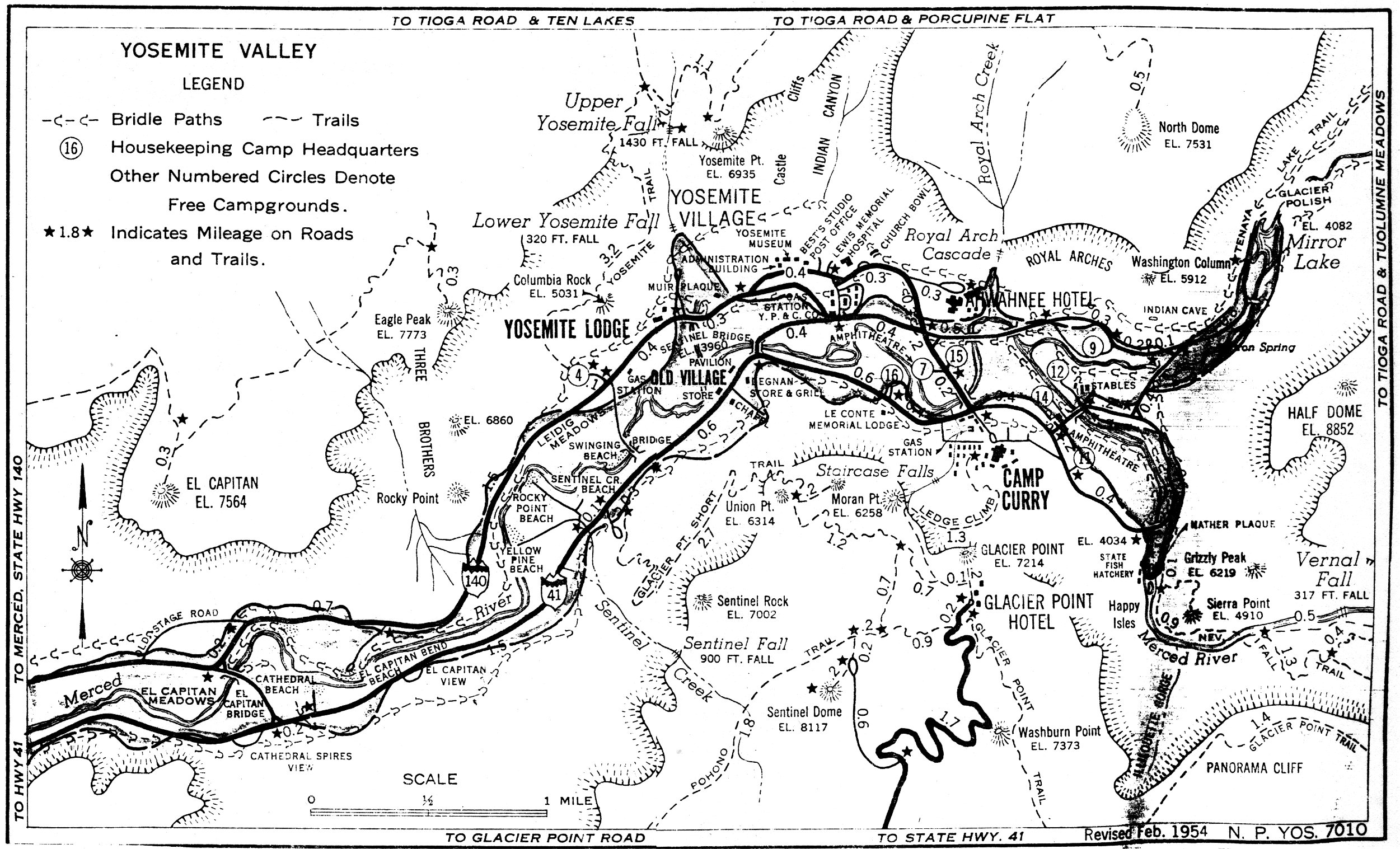
[click to enlarge] |
[73. Emil F. Ernst and Henry R. During, “Annual Forestry Report of Yosemite National Park for the Calendar Year 1954,” RG 79, Federal Archives and Records Center, San Bruno, California, 2-3, 20.]
In February 1956 residence 15 (old stage office/school) in the valley was demolished and the site cleaned up to make way for new residence 74. Residences 71-73 were also completed on the site of the former tennis court, in the summer of 1956. A new grammar school was built that same year. The Happy Isles state fish hatchery building closed in 1957 and conversion to a nature center began. As a proposed information and interpretive station, it would contain exhibits on the high country and natural history subjects and serve as a meeting place for the Junior Ranger program.74
[74. Superintendent’s Monthly Reports, 1953-1957, microfilm rolls #4 and #5, Yosemite Research Library and Records Center.]
By 1949 about thirty-five Indians resided in the Indian Village in Yosemite Valley. Most of the men worked for the Park Service while
|
Illustration 227.
Indian Village - Arch Rock entrance station, 1952. Part of the Master Plan for Yosemite National Park. NPS, Denver Service Center files. |
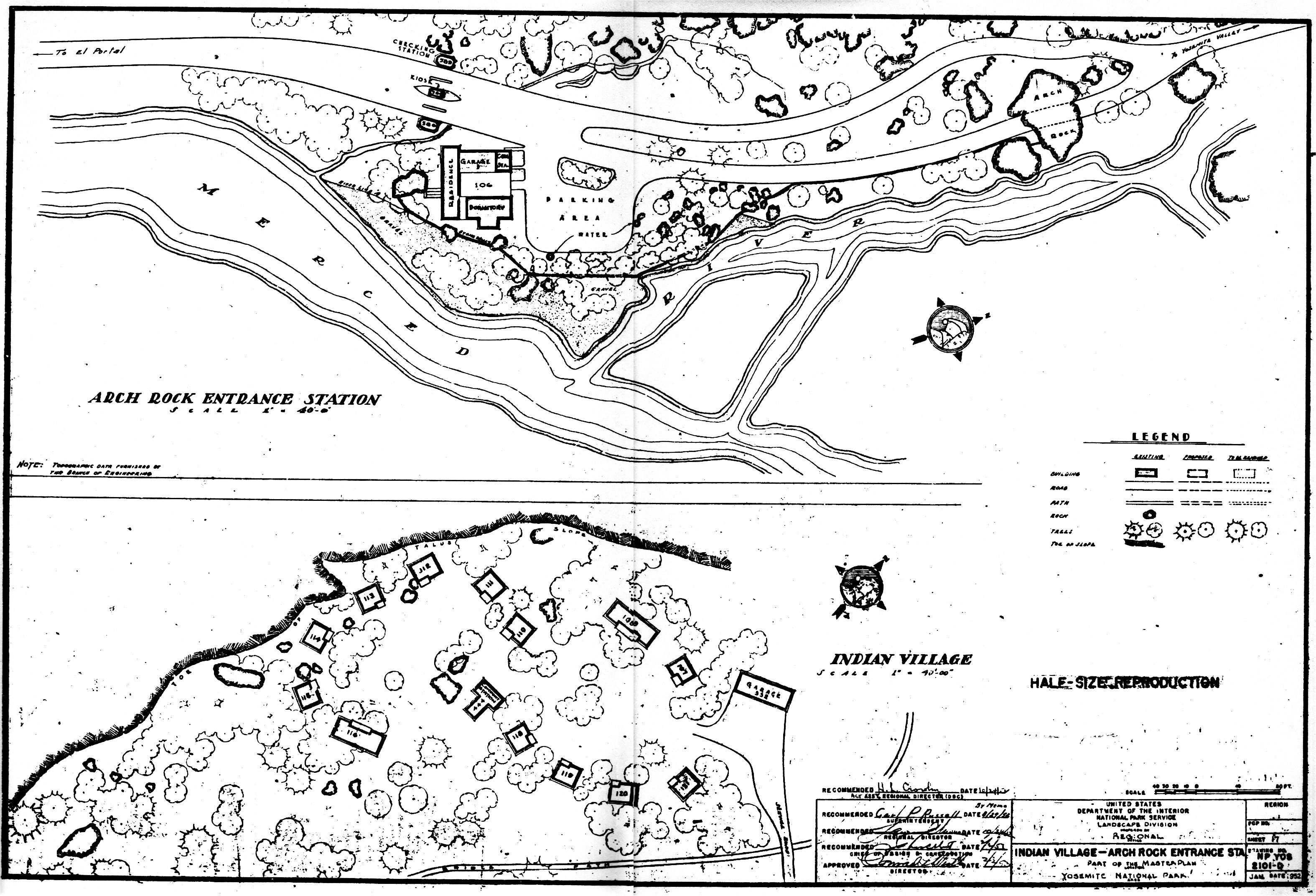
[click to enlarge] |
[75. Perry, “The Yosemite Indian Story,” 7.]
The discontinuance of the Indian Village in the 1950s was based on an Indian housing policy formulated by the National Park Service in August 1953, which provided that when a house became vacant, the building would be removed. The gradual elimination of the cabins was seen as a solution to a problem stemming from an influx of outside Indians. Houses were removed at several different times: Bldgs. 114 and 121 in 1953; No. 119 in 1956; No. 112 was destroyed in 1957; Nos. 110, 115, and 118 were razed in 1953; and No. 107 was torn down in 1960, as was the garage. In 1944 two sets of cabins were relocated in the Indian Village and joined together (108 with 109 and 116 with 117). Building No. 120 was moved ‘to the government utility area where it functions as a paint shop (No. 551). Remaining cabins (108, 111, 113, 116), the comfort station, and the shower (Bldg. No. 444) were eliminated about 1969.76
[76. Leslie P. Arnberger, Superintendent, Yosemite National Park, to Barbara Karshmer, Attorney-at-Law, California Indian Legal Services, 19 October 1976, Box 58, Yosemite Research Library and Records Center.]
By 1957 the staff of the park realized that a number of historic buildings in the park would be lost unless they could be moved to a location where they would receive proper care. Several lay in areas due to be restored to wilderness, others in isolated places had become susceptible to vandalism. Visitors never saw most of them, wasting their value as historic structures. The park conceived the idea of moving those buildings to Wawona, which already had items of historical interest, such as the old covered bridge, an old wagon shop, and the hotel. There the park would develop a major pioneer interpretive and information center concentrating on the human history of the area, turning Wawona into the park’s second-largest visitor-use area and lessening visitor pressures on Yosemite Valley.
The first step in the project involved the restoration of the covered bridge. The old wagon shop on its original location near the bridge was rehabilitated to house an outstanding collection of Yosemite stagecoaches and other horse-drawn vehicles. Workers brought in eight historic structures from various areas of the park and reassembled them as a village. Each one represented a phase of Yosemite’s human history: pioneering, homesteading, early transportation, visitor accommodations, army administration, ranger services, and pioneer artists. Machinery from the Tioga Mine illustrated the story of mining in the Sierra. Each cabin was furnished to its period and in accordance with its original use and each structure is interpreted to visitors. Restoration crews spent six years moving and restoring early structures for the center, and various people contributed vehicles and furnishings to aid in interpretation. The Pioneer History Center opened to the public in 1961.
A new Camp 14 amphitheater was constructed in June 1957. By that year the problem of refuse collection and disposal in Yosemite Valley had become of paramount importance. Mixed refuse was being disposed of at the incinerator operated by the Park Service at the north edge of the utility area near Yosemite Village. The concessioner collected the refuse from the privately owned establishments and concessioner housing for disposal there. Built in 1925, the facility was now considered inefficient and obsolete as well as overloaded. Rubbish and noncombustible material of the concessioner and the Park Service was collected separately and hauled to the Curry dump, an open, abandoned borrow pit just southeast of Camp Curry. Rubbish was burned in the almost full pit each day. Although garbage from the valley eating establishments was collected daily by a hog rancher from Merced under a Park Service contract, some always ended up in the Curry dump and attracted bears. In addition, smoke from the burning trash was extremely unsightly. Obviously both the dump and the incinerator needed new facilities and relocation.77
[77. “Report on Yosemite Valley Refuse Collection and Disposal System -Yosemite National Park, California,” August 1957, in Box 11, Floods and Water Supply, Yosemite Research Library and Records Center.]
Other construction during this later period included a comfort station near the valley museum (completion report dated 1957); a post office employees’ garage, comfort stations at Camp A. E. Wood, Camp 9, Bridalveil Fall, White Wolf, and Glacier Point; and ten employee residences in Upper Tecoya (completion reports dated 1958); and a combination service building in the El Portal trailer village and rehabilitation of historic structures for the Yosemite Pioneer History Center (completion reports dated 1960). At the end of 1958, the park was in the process of razing or removing from the valley twelve old dwellings, some dating from 1906. The first superintendent’s office, which had been moved to Yosemite Valley in 1906, had been used as a residence until 1958, when it was moved to the Pioneer Yosemite History Center.
In 1959 work started on liquidation of the large employee trailer camp on the valley floor immediately above Sentinel Bridge between the river and the valley road. A major step in the MISSION 66 program was moving this out of the valley to El Portal. A fire that year destroyed a Happy Isles residence.
Early in 1961 construction of government houses at El Portal began, along with erection of a new water and sewage disposal plant. By 1962 the new El Portal incinerator was operative, ending the burning of ‘garbage and trash on the valley floor. In 1961 a new bridge over the Merced River below El Portal was also built. That same year Soap Suds Row, the board-and-batten, high-ceilinged dwellings used by married enlisted soldiers during the military administration of the park, was razed. The six remaining structures, occupied by park personnel up to that time, were burned as part of the park’s volunteer fire brigade training program. The origin of the name for such a row of houses common to all military posts lay in the array of washboards and tubs and the row of army housewives that could frequently be seen scrubbing the laundry of the soldiers in the military days.78
[78. Superintendent’s Monthly Reports, January-December, 1959-61, microfilm roll #5, Yosemite Research Library and Records Center.]
1. The National Park Service Acquires Wawona Basin
On 13 August 1932, President Herbert C. Hoover signed a proclamation placing the Wawona Basin within Yosemite National Park. In that year Clarence A. Washburn, son of a founder of the Wawona Hotel, sold the property to the U. S. Government, with the Yosemite Park and Curry Company purchasing the furnishings and equipment. The addition of these 8,785 acres also brought the entire new Wawona highway within park boundaries. Clarence Washburn managed the Wawona property under the same policies as before until he quit in 1934. Under the agreement, the dairy would be maintained and the farm continue operating.
The acquisition of the Wawona Basin had been considered imperative for a long time because of its strategic importance in relation to Yosemite’s future development. It was considered second only to the valley in operating and administrative importance, because it had the only available airplane landing field, was considered the best place to send the valley’s midsummer overflow of campers, would enable some restrictions to be put on subdivisions in the area, would facilitate the control of illegal hunting and fishing, would provide more recreational opportunities for visitors, and enable better fire protection for the Mariposa Grove and nearby areas.
Also, the addition of Wawona would enable one entrance station at Four-Mile Junction to serve as a checking station for the entire area south of the valley and would eliminate similar stations at the Big Trees Grove, Alder Creek, and Chinquapin. In addition, it was feared that the owners, who were then operating at an annual net loss, might be tempted to sell timber on the property or subdivide it to acquire additional revenue.
The Yosemite Park and Curry Company wanted the buyout .consummated because of the threat of strong competition posed by the Wawona Hotel as this area grew in importance. Its acquisition would remove the only nearby outside competition of concern to the company’s park operations.
An inventory of property acquired at Wawona by the government included:
a dwelling erected in 1902, razed about 1936;
a fish hatchery erected in 1892 [1895], razed in 1933;
a hide house, razed in 1934;
a slaughterhouse erected in 1929;
a refreshment stand erected in 1929;
a filling station operated by Standard Oil erected in 1932;
an engine house erected in 1932;
a garage erected in 1890, razed in 1936?;
a milk house moved to the upper end of the meadow and razed in 1941;
a storehouse erected in 1865 and razed in 1936?;
a granary built in 1865, razed 1936?;
a wagon shed erected in 1865, razed in 1936;
old Shell quarters erected in 1926, razed in 1936;
|
Illustration 228.
Boundary changes, Wawona Basin. From Yosemite Draft Land Acquisition Plan, Yosemite National Park, October 1979. |
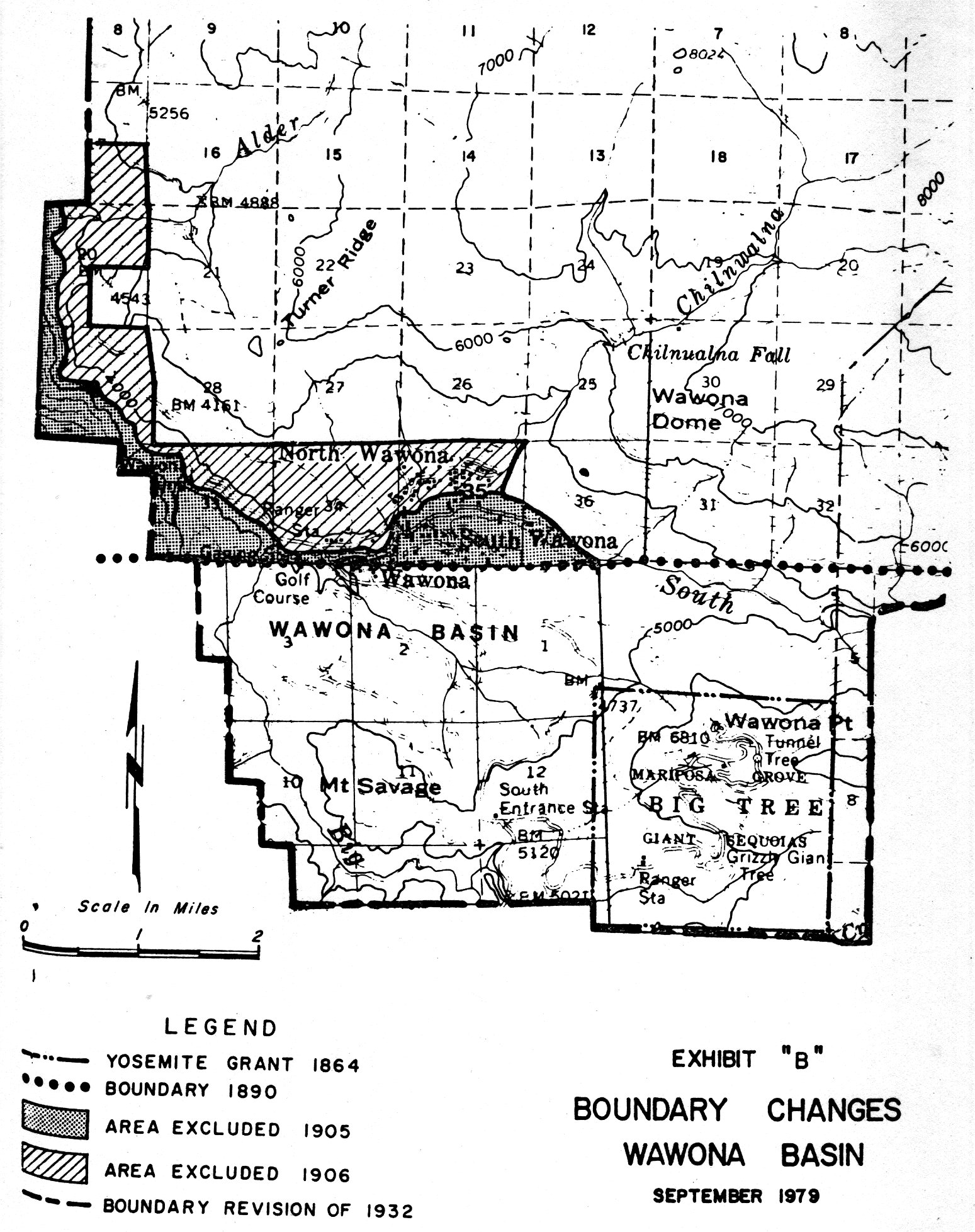
[click to enlarge] |
|
Illustration 229.
Wawona Hotel and vicinity. From Sargent, Wawona’s Yesterdays. |
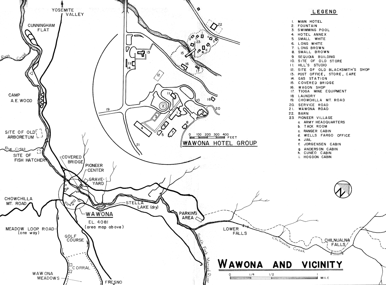
[click to enlarge] |
|
Illustration 230.
Map of Wawona area, showing concession operations and park facilities. NPS, Denver Service Center files. |
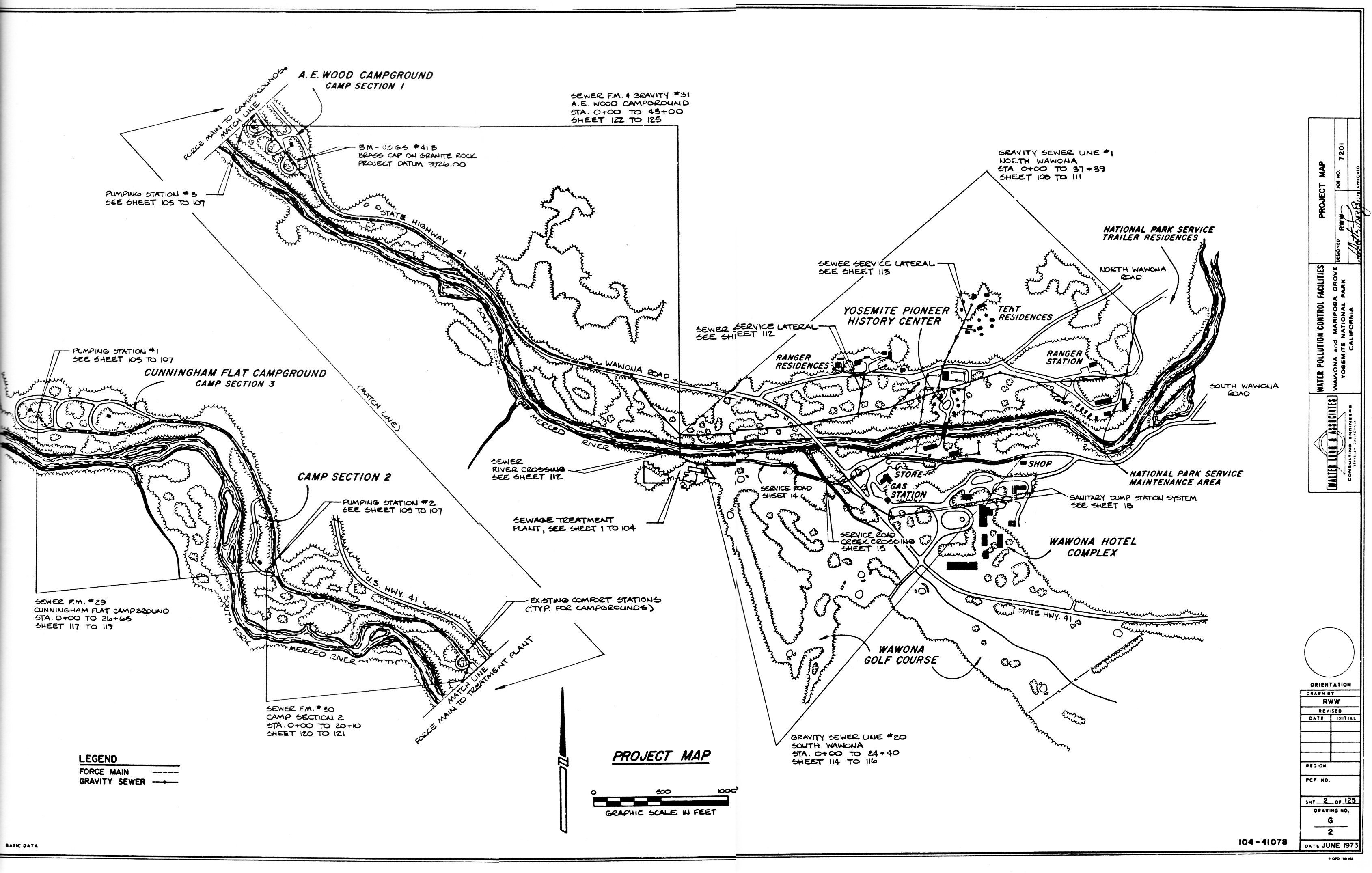
[click to enlarge] |
an engine house erected in 1926, razed in 1936;
a barn erected in 1920;
a dwelling, razed in 1934?;
a blacksmith shop erected in 1922, caved in by snow in 1933;
a shed razed in 1934?;
a carpenter shop (wagon shed) razed in 1941 by the CCC;
a planing mill, erected 1917, razed in 1941 by the CCC;
a bunkhouse (white), erected in 1920;
a laundry, erected in 1917;
a boiler shed, erected in 1917, razed in 1934?;
a bunkhouse for Chinese help, erected in 1917;
two dwellings erected in 1920;
a double dwelling;
a powerhouse erected in 1907;
a dwelling erected in 1930;
a bathhouse on [Stella?] lake, razed in 1933?;
an ice house erected in 1897;
a storehouse;
a store and post office erected in 1920;
a music hall erected in 1892, razed in 1936?;
a coffee shop, erected 1925 and moved in 1937?;
a warehouse erected in 1880;
a rustic pavilion, razed in 1934?;
a soda and curio store, erected in 1886;
the Sequoia Hotel, erected in 1920, burned in 1977;
the Wawona Hotel, erected in 1879;
the Small Brown Building, erected in 1896;
the Long Brown Building, erected in 1900, raised to two stories in 1914;
the Long White Building, erected in 1864;
White Cottage (Small White), erected in 1884;
the Annex, erected in 1917;
a boiler house erected in 1917, razed in 1935?;
a dwelling erected in 1921;
a barn, erected by NPS in 1932;
a tank house, erected in 1917;
Oak Cottage, erected in 1927;
Cedar House, erected in 1903, used as NPS ranger station;
the Gordon dwelling, erected in 1892;
a schoolhouse, repaired in 1932;
a woodshed in the school yard erected in 1928;
a chicken house;
a tennis court, swimming pool, and golf course;
and a cow barn erected in 1932, located at the upper end of the aviation field.79
[79. “Inventory of Fixed Equipment,” Wawona property acquired by the federal government by presidential proclamation dated 13 August 1932, inventory taken by R. Sprinkel and M. A. Ackles during the month of November, 1932 (corrected 19 April 1933 to agree with YP&CCo inventory), 33 pages, Records of the Superintendent, 1910-1953, Yosemite National Park, RG 79, FARC, San Bruno, California.]
2. Big Trees Lodge
The earlier tent camp established by the Yosemite National Park Company in 1920 in the upper portion of the Mariposa Grove consisted of fourteen wooden cabins and an octagonally shaped headquarters. The Yosemite Park and Curry Company razed that group of buildings and during July to October 1932 built a new lodge near Sunset Point in the grove. The small, attractive twelve-room hotel, simple in style, was designed by Eldridge T. Spencer. It contained an office, store, studio, employees’ quarters, dining alcove, and guest rooms.80 The complex ceased to house guests in 1972 and became a dorm for Youth Conservation Corps groups. Fire and a falling tree that smashed the roof in the winter of 1982 led to its eventual demise.
[80. See Albert H. Good, Park and Recreation Structures, Part III—Overnight - and Organized Camp Facilities (Washington: Government Printing Office, 1938), 70-71, for pictures and a floor plan.]
3. Chronology of Later Yosemite Park and Curry Company Development
a) Company Facilities Need Improvement
In 1930 the Yosemite Park and Curry Company, having operated in Yosemite for five years, prepared a program to serve as a basis for study in terms of future developments and operations and to use in discussions with the National Park Service in order to enable synchronization with the government’s expansion plans. The program, which included such items as restoration and preservation of the Sentinel Hotel group as an early California hostelry, a permanent housekeeping unit at Yosemite Lodge, development of the High Sierra camps as small mountain lodges, and facilities for winter sports, golf, tennis, and visits by notable guest artists to prolong visitor stays, did not evolve as planned. Evidently the company did not feel it received a clear definition of government policies toward recreation and entertainment and other commercial activities of the company. In addition, the government’s inability in the early 1930s to provide the necessary sewer, water, and electrical systems and access roads on which company development was dependent delayed the program at first. During the late 1930s and with the onset of World War II, the dropoff in visitation and other economic factors made such improvements in accommodations and facilities
|
Illustration 231.
Remains of Big Trees Lodge in Mariposa Grove. |
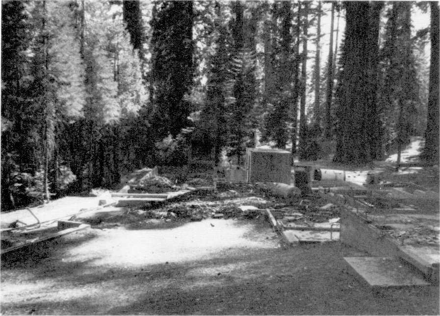
[click to enlarge] |
|
Illustration 232.
Empire Meadow building foundations (former lumber company camp and CCC camp). Photos by Robert C. Pavlik, 1984. |
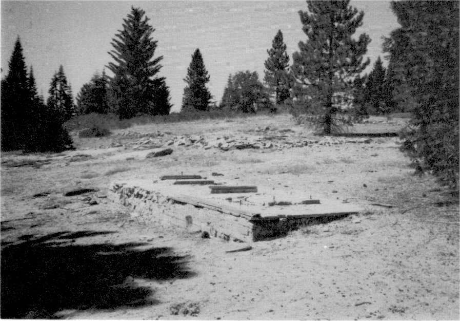
[click to enlarge] |
|
Illustration 233.
Tecoya group and warehouse area of Yosemite Park and Curry Company in Yosemite Valley, 1972. NPS, Denver Service Center files. |
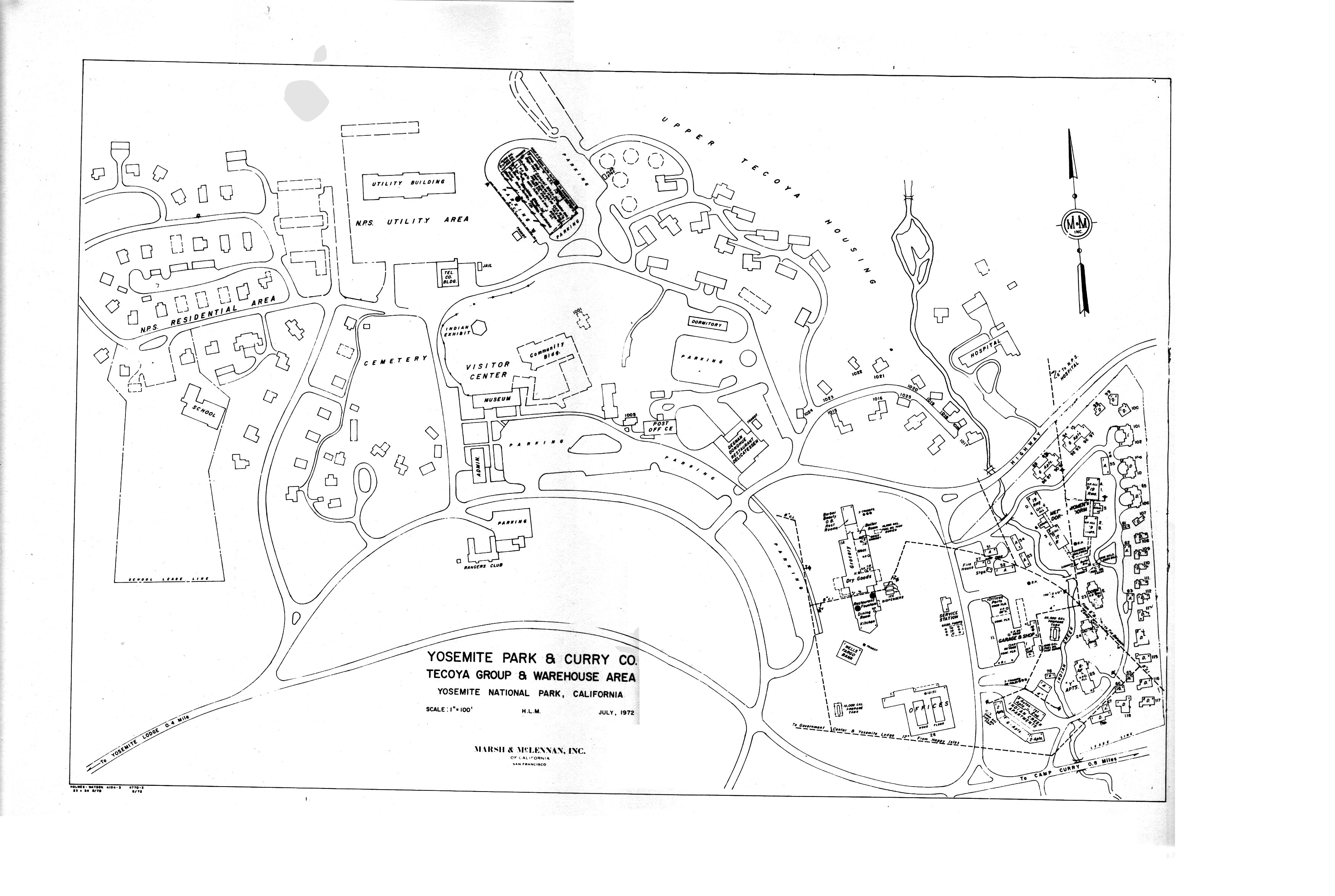
[click to enlarge] |
[81. “A Report on A Provisional Program for the Development of the Buildings, Equipment, and Grounds of Yosemite Park and Curry Co. for a Five-Year Period from 1930 to 1935,” prepared by Yosemite Park and Curry Company, 1 March 1930, in Box 28, Yosemite Park and Curry Company (NPS) Architectural Reports, 1927-1939, Yosemite Research Library and Records Center, 1 (Introduction), 1 (Relation of Program to Policies of National Park Service), 3-5 (Summary of Relation of Program to the Operation).
b) Winter Sports Move to Badger Pass
As skiers began to gravitate toward the Badger Pass area, the Snow Creek cabin continued to provide a more extensive ski terrain than the valley floor offered. Skiers often used a small hill near the cabin as a practice slope. The cabin served for five seasons for skiing, until the spring of 1934. Although park visitors did not use the cabin much after that, rangers en route to Yosemite Creek or Tuolumne Meadows on snow surveys would occasionally stop overnight, and, during the spring, men sent by the concessioner to fill the ice houses at Tuolumne Meadows and Merced Lake, which were used for refrigeration purposes for the high country camps, would stop by. Ansel Adams visited the cabin several times to take pictures of the high country in winter. The cabin was basically abandoned by the Curry Company after that time, although it was occasionally used as an overnight refuge by backcountry travelers. Volunteer “rangers” occasionally lived in the building, which has had some use as a backcountry patrol cabin.
After completion of the new Wawona Road and tunnel in 1933, visitors began to use the Chinquapin area for skiing as well as the Badger Pass slope. Because of the poor condition of the Glacier Point road, the Yosemite Park and Curry Company became interested in installing the cable tramway mentioned earlier as a means of getting skiers to the south rim. Gradually valley floor winter activities faded and skiers concentrated on Badger Pass and the high country, especially after improvement of the Glacier Point road afforded greater accessibility to that area.
Because the valley facilities for handling the public had proven inadequate, Donald Tresidder felt justified in making Badger Pass the focal point of his company’s ski development. He fully expected it to turn into one of the great skiing centers of the Sierra because of its easy access from the valley, its sufficient quantity of snow even in drier years, its good quality of snow, and its good skiing terrain. He finally abandoned the valley toboggan and ash-can slides because of the possibility of serious accidents. Tresidder began construction on the lodge at Monroe Meadows in late September 1935. The structure, of log slab construction, also designed by Eldridge Spencer, opened in December of that year with a ski lift in conjunction. Several of the Badger Pass ski school’s directors and instructors proved very influential in the development of skiing in the West. The Ostrander ski hut, built by the Park Service in 1940 with CCC labor as a touring shelter, became an important addition to the park’s winter facilities. Dr. Tresidder took a great personal interest in the development of winter sports in California, and Yosemite, a pioneer in the winter sports field, is one of the oldest and largest centers for ski enthusiasts in the West.82
[82. Author unknown, “History of Winter Sports in Yosemite,” typescript, 13 pages, in Box 47, Yosemite Park and Curry Co., Misc. Records, Yosemite Research Library and Records Center.]
c) Limited Construction Occurs
In 1936-37 the company managed to finance two dormitories and one apartment building, all three stories high, in the Tecoya residential area. The company advocated use wherever possible of multiple instead of free-standing residential units to conserve space. In October 1937 the government transferred the frame movie pavilion in the Old Village to the concessioner. In the early 1930s porches had been added to the sides. The park burned and razed the structure in 1963 after fire due to an overheated oil furnace had badly damaged it. At the time it was the last remaining commercial building in the Old Village. The site was revegetated to a natural state in line with MISSION 66 plans for the Old Village area. The Glacier Point Hotel and Annex (old Mountain House) continued to house and serve visitors. A small, open-faced, sheet metal building close to Glacier Point provided shelter for the bark burned in the firefall. As mentioned, in 1938 the park began razing the Sentinel Hotel and Annex.
During the 1930s the High Sierra camps began to undergo some renovation. In 1936 the Tuolumne Meadows camp consisted of tent platforms and log frames for two lodge buildings housing a kitchen, dining room, and office, and fifty-one platforms for guest tents, two womens’ dormitories, 2 men’s dormitories, two bathhouses and toilets, and one store. All structures had canvas coverings. In 1940 the lodge had a dining room, kitchen, warehouse, thirty-eight tent platforms, one women’s dormitory, two men’s dormitories, and two bathhouses. All were canvas except the kitchen and warehouse—frame structures built in 1938.83
[83. Master Plan Development Outlines, 1936, 1940, RG 79, Cartographic Archives Division, NA, Alexandria, Va.]
d) High Sierra Camps Continue
By 1938 five High Sierra camps existed: two original ones at Merced Lake and Tuolumne Meadows, which had ice houses, and new ones at May Lake (replacing the Tenaya Lake camp), Glen Aulin, and Vogelsang (replacing the Boothe Lake camp). The company had discontinued the Tenaya Lake and Little Yosemite Valley camps. About 1935 a small stone lodge was constructed at Glen Aulin. The Curry Company erected a stone dining room and kitchen at May Lake in 1938. Mary Curry Tresidder, president of the Curry Company, established the Sunrise High Sierra camp in 1961 and also equipped it with a canvas dining tent and stone kitchen structure. It overlooks Long Meadow on the John Muir Trail a few miles from Cathedral Pass.
The Vogelsang camp has had three different sites. First located on the north shore of Boothe Lake in 1924, it was found that drainage was poor and the mosquitoes intolerable. In the early 1930s the camp moved up near the junction of the Vogelsang, Rafferty Creek, and Lyell Fork trails. The camp moved again in 1940, being rebuilt at its present location on Fletcher Creek. It also has a rock kitchen and a dining tent.
In March 1939 the company commenced work on a new office building near Yosemite Village. In 1940 it built a new store and service station at Tuolumne Meadows.
e) The U. S. Navy Takes Over the Ahwahnee Hotel
In June 1943 the U. S. Navy leased the Ahwahnee Hotel for use as a hospital and rehabilitation and recreation center for Navy and Marine personnel suffering from the effects of service in the Pacific. Exhausted veterans of air battles, naval engagements, and submarine patrols rested and recuperated there.
The Navy converted the Ahwahnee and its grounds to hospital use by several alterations and the erection of temporary buildings surrounded by a fence. The first year, conditions at the hospital were desperate due to a dearth of just about everything, including recreational facilities. Many of the patients resented being sent to the isolated valley and having to wait months for a medical discharge or return to duty. The Navy then secured eleven excess army field-type temporary buildings and constructed a new rehabilitation and recreation center in the summer of 1944 in the meadow west of the hospital. There bowling, fly tying, weaving, leatherwork, and bookbinding relieved the strains of war. Skiing, skating, and climbing also became valuable therapeutic agents in rehabilitation. The Navy ultimately decided to request only patients requiring hospitalization who were less likely than psychiatric cases to resent the isolation of Yosemite. It made preparations to receive the more acutely ill types, including those needing surgery. Commissioned as the U. S. Naval Convalescent Hospital, the facility’s name later became the U. S. Naval Special Hospital. The war ended, however, before the new plan could be implemented. The hotel was decommissioned on 15 December 1945. Refurbishment got underway quickly and paying guests began arriving again the end of 1946. Due to wartime restrictions and conditions, the Yosemite Park and Curry Company closed the Glacier Point Hotel, the Wawona Hotel, and the Big Trees Lodge, and did not reopen them until 1946. In September 1943 the old Curry sawmill and two nearby buildings at Camp Curry burned. In 1944 the isolation ward in Yosemite Valley, built by the government prior to 1929, was moved to its present location.
f) The Curry Company Begins a New Building Program
The Yosemite Advisory Board continued during this later period to aid in broad policy questions. Many of the plans they suggested were never carried out because of differences of opinion as to the wisdom of proceeding and because money was not available to do much. In 1946 the board advocated branch stores in the campgrounds to relieve the constant daily travel to the Old Village store. It suggested canvas tents with solid flooring in which staples could be obtained. After peak visitation had passed, the tents would be removed until the next season.
Superintendent Frank A. Kittredge spoke of some of the frustrations connected with the park concession operations in 1947:
Many of the company [YP&CCo] public buildings are a problem because they are in a state of dilapidation. The old store built prior to 1900, the Yosemite Lodge built about 1911 or ’12, the company warehouse of about the same period, and many of the public cabins are the subject of a great deal of complaint, and there is no question but that they are a disgrace to the Park Service. . . . This problem was recognized a great many years ago. . . . There is . . . an agreement of 1925, signed by Secretary of the Interior Work and representatives of the Park Service and the YP&CCo which required the construction of a new store building in the new area [New Village]. . . .
|
Illustration 234.
High Sierra camps, 1975. NPS, Denver Service Center files. |
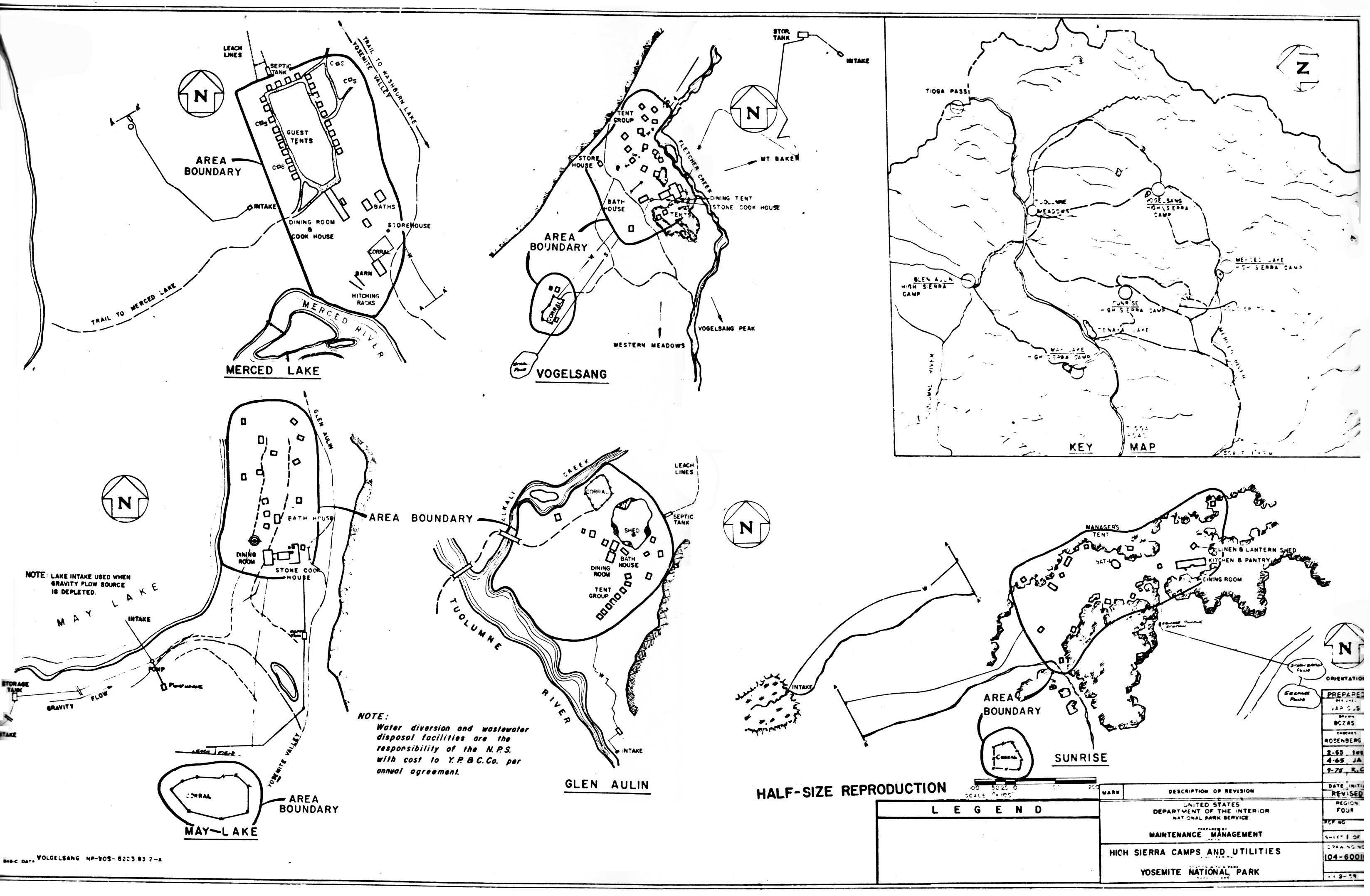
[click to enlarge] |
The following year - 1926, the company were [sic] given five years in which to build a new lodge in place of the present Yosemite Lodge. In 1932 a new 20 year contract was given the YP&CCo and the five year program included, which contemplated the above items and many others for reconstruction in the period 1932 to 1937. It was felt that a full 20 year franchise would permit the company to obtain proper financing and to do the construction work at a time when the President was endeavoring to have the business concerns do just as much employing as possible.
Along about 1937 some question was raised as to the adequacy of the location of certain structures.
Irrespective of why scheduled construction of buildings was not adequately undertaken or completed, the fact remains that the Park Service has now and has had on its hands a very unfortunate situation. For 20 years the public has been harrassed by having the old village structures and the old lodge structure on the main highway serving as bottlenecks for every incoming vehicle on crowded days. For 20 years the Park Service has been confronted with the necessity of straightening out traffic, pacifying people, and trying to overcome the conditions which have been imposed upon the public because at those two locations we are still subject to the stagecoach days structures and service. The problem of buildings is very much a Park Servicematter and a very serious one if the public is to be served.84
[84. Report “Prepared for Mr. Clem W. Collins, Chairman, Concessions Advisory Group” by Frank A. Kittredge, Superintendent, Yosemite National Park, 6 June 1947, in Separates File, Yosemite-Concessions, Y-16c, Yosemite Research Library and Records Center.]
In 1947 the concessioner erected an experimental store in Camp 14 to alleviate the parking situation in the Old Village, and it turned out to be successful. In 1950 a guest unit at Yosemite Lodge was built called Pine Cottage, designed to be reminiscent of early California architectural syles. In 1951 the main building constructed during the year was the new apartment house in the Tecoya area. In 1952 the Park Service and the Yosemite Park and Curry Company negotiated a new twenty-year contract. The company then pledged one million dollars over the next five years as part of a new building program.85 In 1953 a new store, post office, and coffee shop building with a detached four-room
|
Illustration 235.
Ahwahnee Hotel of Yosemite Park and Curry Company, 1970. NPS, Denver Service Center files. |
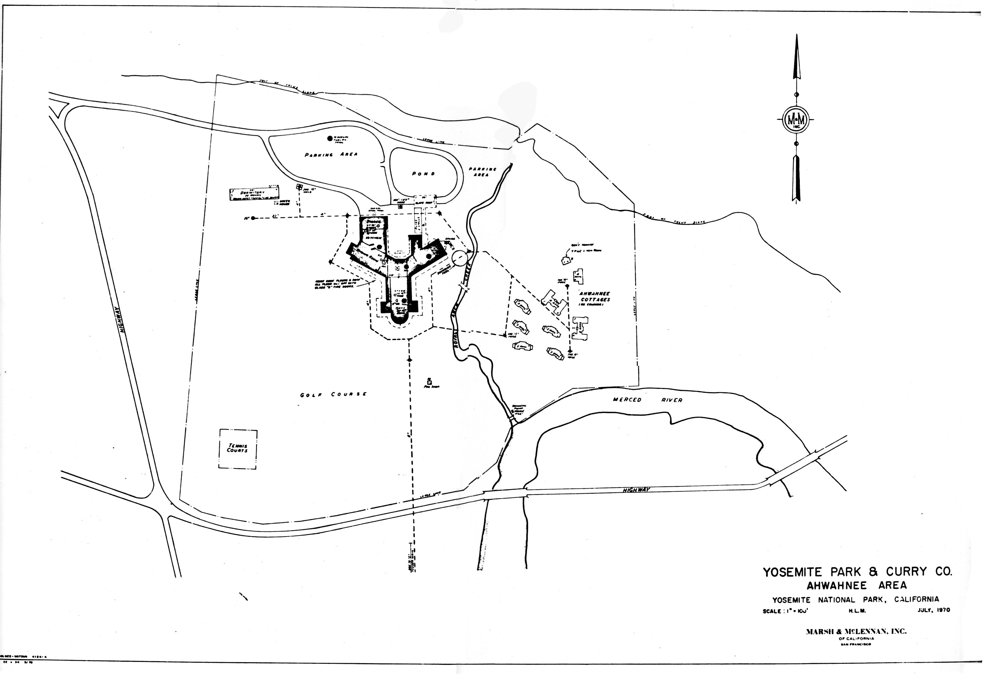
[click to enlarge] |
[85. Robinson, “History of Business Concessions,” 4.]
In 1956 the long-awaited new Yosemite Lodge main buildings, consisting of an office, lounge, cafeteria, coffee shop, souvenir shop, and post office were completed. All the old lodge buildings were demolished. As part of the MISSION 66 program, by early 1958 construction had started on the Degnan-Donohue, Inc., building in the new Yosemite Village. It would house a restaurant, soda fountain, bakery, and delicatessen. The Park Service had rejected the earlier mushroom-dome structure designed by Frank Lloyd Wright in 1954 as being too modern for a park setting. The current structure was a simple, two-story, A-frame building designed to fit into the landscape. Miss Mary Ellen Degnan and Dr. John Degnan, daughter and son of the founders, ran the operation. Construction in 1959 resulted in a new village store, containing a restaurant and a fountain replacing the Old Village Grill, and a new central warehouse with maintenance shops. The Maintenance Division serviced all units and facilities operated by the concessioner. Its nine shops (canvas, keys, paint, audio-visual, machine, plumbing, print, electrical, and carpentry) occupied the basement level -of the central warehouse building. By February 1959 the old Wells Fargo building had been moved to the Yosemite Pioneer History Center, the old Degnan store/restaurant had been razed, and the Old Village store and ice house removed. The rebuilding and/or relocation of the two principal areas of congestion in the valley—Yosemite Lodge and
|
Illustration 236.
Yosemite Lodge area of Yosemite Park and Curry Company, 1972. NPS, Denver Service Center files. |
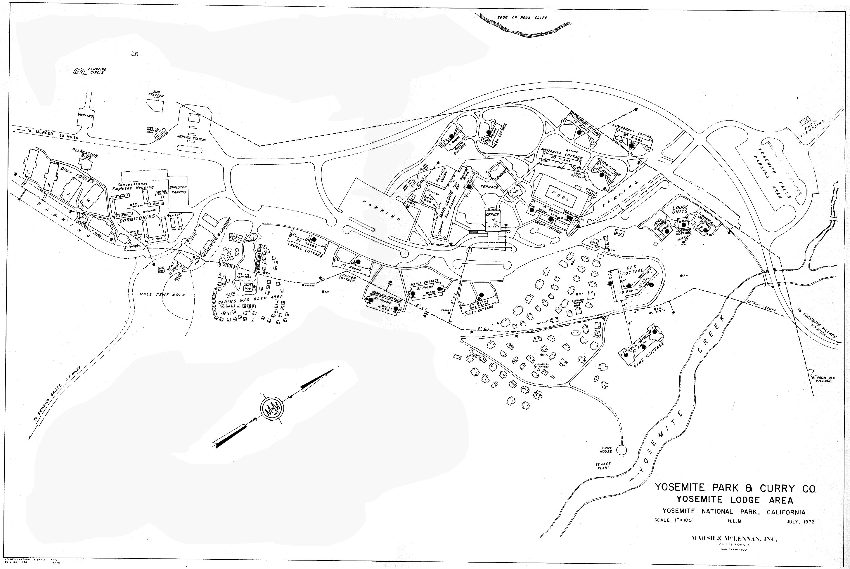
[click to enlarge] |
Work during 1960 concentrated on Camp Curry, where the old grill was demolished and a new coffee shop constructed, the old office building was converted into a lounge, and the former transportation office transformed into the front office. The Camp Curry store became a dress shop. The Park Service relocated the camp’s entrance road and parking area to provide improved access and circulation, and the entrance area was landscaped more attractively. The next year work began on converting the former auditorium and dance pavilion into a lodging unit called the Stoneman House. In 1962 the company razed the old cooks’ dormitory.86
[86. Annual Reports, Yosemite Park and Curry Co., 1950-62, in Yosemite Research Library and Records Center.]
1. Remaining in 1931
By 1931 there remained in Yosemite about 2,400 acres of private land, whereas in 1906 there had been more than 25,000. The 1931 acreage was divided into sixteen parcels. Only two continued to function as cattle range, and they belonged to Mrs. Elizabeth Meyer who owned Big Meadow and the McCauley 40. Eleven of the parcels were originally used as range land. One parcel was taken up as a timber claim, and was later purchased by the West Side Lumber Company. Four of the parcels were selected to accommodate the tourist trade to the valley. Two of those, Tamarack Flat and Gentry, were used as early stage relay stations, and the other two, at Tenaya Lake, were used as high mountain camps.
In the summer of 1931 a comprehensive report was done on private lands in the park by temporary rangers J. Griffith and Emil Ernst. Those lands included the Sierra Club holdings at Tuolumne
|
Illustration 237.
Camp Curry, 1956. Part of the Master Plan, Yosemite National Park. NPS, Denver Service Center files. |
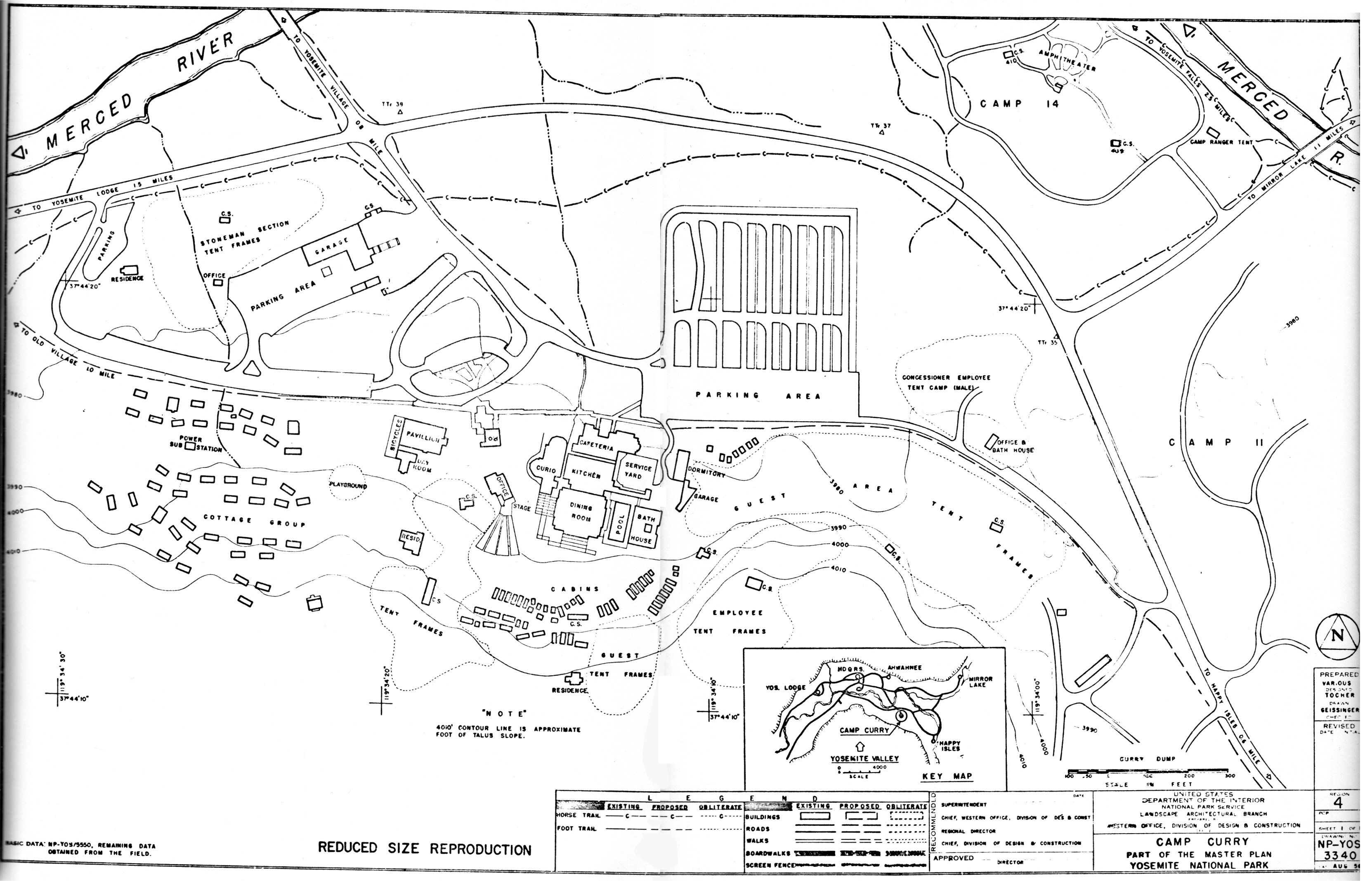
[click to enlarge] |
In terms of private land use at that time, Big Meadow was used for grazing headquarters, one parcel was operated as a local timber supply, and two were conducted as private camps—White Wolf and Aspen Valley Lodge. The latter consisted in 1931 of a lodge building and rooming house of native logs cut and dressed on the owner’s East Meadow property. The store/gas station was a poorly finished log building; the auto repair garage was a shed open on all sides, and another rough shed housed the resort laundry. The original Hodgdon two-story log cabin was being used as a storehouse. All of the improvements on the property had been made since 1920 except for the original cabin erected shortly after 1880. Nearby stood park entrance and ranger stations. Realignment of the Tioga Road in 1937 caused visitation, and consequently profits, to drop. Public use of the old road discontinued during World War II. Private summer homes and a logging operation existed there into the 1950s, although the park eventually acquired some of the land.
Another of the properties was maintained by the Sierra Club as a recreation area for its members. Foresta remained a semi-active subdivision of summer homesites. The remaining properties surveyed in 1931 were not used for any purpose at all. There were varying degrees of improvement on five of the properties. The Sierra Club at Tuolumne Meadows had erected Parsons Lodge as a mountain shelter. White Wolf and Aspen Valley Lodge showed development related to tourist trade over the Tioga Road. The Big Meadow property had extensive improvements that had been made over the years relative to a self-supporting homestead. Several Foresta owners had improved their lots by erecting summer cabins.87
[87. J. Bain Griffith and Emil F. Ernst, “Private Land Survey, Yosemite National Park, California,” 20 August 1931, Records of the Superintendent, Yosemite National Park, 1910-1953, RG 79, FARC, San Bruno, California, 1-3.]
2. Yosemite Lumber Company
White and Friant assumed control of the operations of the Yosemite Lumber Company in March 1933. In 1935 John Ball formed a new Yosemite Sugar Pine Lumber Company. Ball, president of the White and Friant Company, had to consolidate the assets of both the Yosemite Lumber and Sugar Pine Lumber companies to get out his timber that was mixed in with the old Yosemite Lumber Company holdings. The company conducted logging operations near Camp 17 on the Coulterville Road. In 1938 it built another incline above Camp 17, and pushed the logging railroad north toward Sawmill Mountain. Truck logging also started that year over roads built toward Ackerson Meadow.
In 1937 the campaign to halt logging in the Yosemite area began to climax, especially after a visit to the park by Eleanor Roosevelt and Secretary of the Interior Harold Ickes. Although lumbermen argued that selective cutting aided in preserving the sugar pine forests by removing the potential fire hazard from over-ripe, rotting timber, the conservation cause ultimately won the day. In 1939 the Carl Inn tract of 7,200 acres of choice sugar pine came under government ownership after the passage of legislation authorizing its purchase. Logging continued through the season of 1942, by which time most of the available timber supply had been exhausted; the company then decided to cease operations. A scrap dealer bought the physical assets of the company and the buildings at Merced Falls were sold or torn down. Thus ended the long history of the seventh largest lumber producer in the West.88
[88. Johnston, Railroads of the Yosemite Valley, 125-32, 153-59, 169-72; “Proposed Exchange of Timber Lands between the United States and the Yosemite Lumber Co.,” 20 November 1913, in Central Files, RG 79, NA, 1-2, 7-8; and also see Fred J. Overly, comp., “Financial History of the Yosemite Sugar Pine Lumber Company,” 36 pages, in Central Files, RG 79, NA, passim.]
3. Section 35, Wawona
The amount of privately owned land in the park increased with the purchase of the Wawona Basin in 1932, for it contained one patented land section containing about 650 acres broken up into a large number of parcels with many owners. These patented lands at Wawona are all within Section 35, Township 4 South, Range 21 East, MDM. Section 35 is bisected by the South Fork of the Merced River, which flows west through the section, separating it into two distinct divisions. On the north the land slopes southerly from the base of Chilnualna Ridge, on the south the section line follows the top of a ridge descending west to the Wawona highway.
The section is also crossed by the Washburn irrigation ditch, built in 1871 by Galen Clark and Edwin Moore and used continuously for irrigation and until 1933 as a source of domestic water supply for Wawona.89 In 1934 the government installed a water system at Wawona and laid the main supply line in the Washburn ditch, which had been acquired as part of the Wawona sale. The Yosemite Park and Curry Company used the water flowing through the ditch to run a small hydroelectric plant. A maze of dirt roads covered the entire section, with a main road on each side of the river affording access from the Wawona road.
[89. “Wawona Private Land Report,” 15 December 1933, File 610-07.3, 1933, RG 79, FARC, San Bruno, California.]
|
Illustration 238.
Railroad ties at top of north side incline of Yosemite Lumber Company. Photo by Robert C. Pavlik, 1984. |
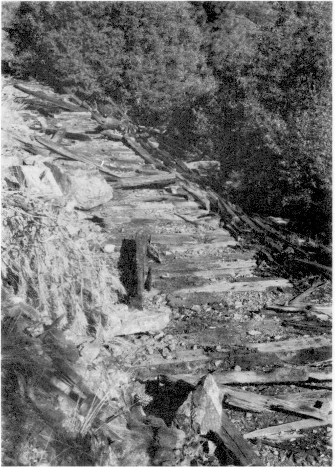
[click to enlarge] |
The north half of Section 35 had been homesteaded by Albert Bruce, who divided his half section into six large lots that he distributed among his children. His family still controlled five in 1941, comprising nearly forty percent of the section acreage. At one time the Greeley family owned all of the south half of the south half of Section 35, but its holdings dwindled through the years.
At the time of the purchase of the Wawona Basin, there was a growing interest in the private lands at Wawona for year-round housing. It was to be expected that further development of organization camps (usually a colony of individual cabins plus a recreation club) would follow. Summer cabins of an older type of construction were located in “Koon Holler” on the south side of the river, far removed from most of the more recent cabin developments. Many landowners in the section as it grew held prominent positions in business, professional, and political circles of California. Possibly through their influence, most of the old ramshackle cabins slowly disappeared. Residents used many of the new year-round cabins as ski headquarters in the winter. The Bruce family built many modern new homes in the Chilnualna area.90
[90. “Pictures Showing Various Activities and Developments in Section 35, Yosemite National Park, California,” January 1951, File 610-07, 1951, RG 79, FARC, San Bruno, California.]
Section 35 has always constituted a self-sufficient entity. The main business of several of its residents has been catering to tourists. Throughout its history the section has contained summer camps for children, trailer parks, campgrounds, subdivisions, grocery stores and restaurants, lodges, theaters, and cabins offering modern motel-type accommodations for visitors. Practically every owner for a small consideration would allow camping on his property. Certain subdivisions, such as Camp Chilnualna, owned by Harold Mays, and Sierra Lodge, owned by Sarah Scroggs, rented summer cottages. Stores operated, such as May’s Grocery and Walter Baker’s combination curio shop. A Seventh Day Adventist Church and an outdoor dance pavilion also served the public. Swimming pools have been very popular. A school operated under county jurisdiction on government land with an average attendance of twenty pupils, most of whom resided on private land. The Associated Conference of Seventh Day Adventists also conducted a private summer school or camp in Section 35. That complex included a mess hall, recreation building, eleven bunk houses, and other miscellaneous structures. Sarah Scroggs conducted the Sierra Lodge school for retarded children, which included a mess hall, dorms, schoolrooms, and cabins—about eighteen or twenty buildings altogether. The Park Service purchased the Scroggs property about 1950 in order to establish a housekeeping camp.
Real estate subdivisions offering town lots for sale became active after the surrounding land was included in the park. In Section 35 four tracts existed on which lots had been laid out: Chilnualna Villa Homesites Addition No. 1, Harold Mays’s property, Chilnualna Villa Homesites Addition No. 2, and a portion of the Wawona summer homesites. Many of the structures in the section first built on the sites were of flimsy, rough, board-and-batten or shake construction with no modern conveniences; later structures were of much better construction. The potential fire hazard in the area has always been great. In 1941 Section 35 contained 202 structures, exclusive of outside toilets. Administrative problems in Section 35 have included: the continual breakdown of the section into smaller parcels; its attraction to undesirable characters; additional policing duties due to the large number of summer residents; the lack of control over building activities; unsatisfactory sanitary conditions; and danger from fire.91
[91. E. C. Smith, Chief Engineering Aide, “Wawona Private Land Report, Section 35,” 15 February 1941, Records of the Superintendent, Yosemite National Park, 1910-1953, RG 79, FARC, San Bruno, California, 13 pages.]
|
Illustration 239.
Wawona area, showing Section 35. Landownership map, 1967. NPS, Denver Service Center files. |
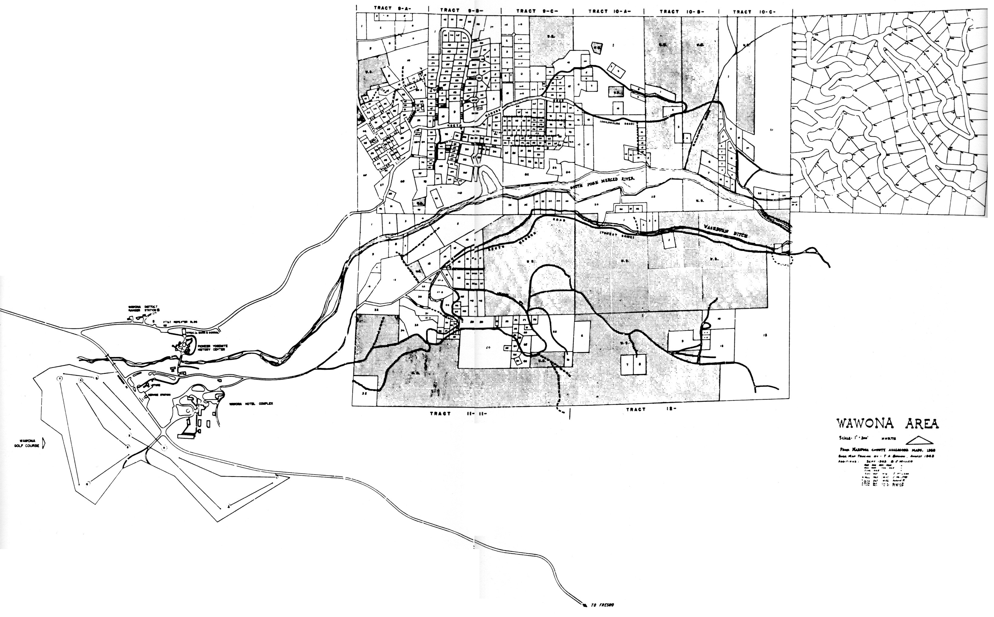
[click to enlarge] |
The one fortunate element of the land situation at Wawona has been that the private holdings are concentrated within the limits of a single section and not scattered throughout the area, so that the distinction between park lands and private holdings is clearer and has lessened administrative problems to some degree. Because they occupy a considerable portion of the South Fork valley, however, they seriously impinge upon full public use of that portion of the park.
4. Camp Hoyle
Bert Hoyle filed three mining claims on the old army site at Wawona in 1922 and established Camp Hoyle. It functioned as a tourist camp with a dining room, fountain, store, six tents, six cabins, and a gas station until 1932 when the National Park Service bought Hoyle’s interest and razed the camp. From 1933 on the site has functioned as a public campground. In 1951 it was improved and modernized and became Camp A. E. Wood Campground.
5. Hazel Green
With the completion of the Yosemite Valley Railroad to El Portal in 1907, traffic on the stage lines on the Coulterville and Big Oak Flat roads dwindled. In the early 1900s Jennie Foster Curry (Mrs. David A.) erected a small sawmill for manufacturing shakes, but terminated operations at the request of Park Service officials Stephen Mather and Horace Albright. The pine columns in the Ahwahnee Hotel dining room were produced there. In June 1938 the National Park Service bought the upper forty acres of Hazel Green as a right-of-way for the new Big Oak Flat Road as it was then being planned. Mary Curry Tresidder sold the remaining acres to the Cuneo brothers of Merced in the early 1940s. Their families built a new cottage and barn and put in a reservoir.92
[92. Tresidder, “Reminiscences of Hazel Green.”]
6. Carl Inn
An act of 9 July 1937 authorized the Secretary of the Interior to acquire certain lands known as the Carl Inn Sugar Pine Area and add them to Yosemite National Park. The government started a condemnation suit, including as defendants the owners of mining claims recorded to cover certain portions of the lands involved in the acquisition area. They lay along the western boundary of the park near the headwaters of the Tuolumne River.
The Carl Inn resort lay within the proposed addition. The Tioga Road crossed its north end, the Big Oak Flat Road crossed the central portion, and the Crane Flat road crossed the southern part. All highways were heavily used by the general public in going to and from the park. After a year and a half of negotiations with the Yosemite Sugar Pine Lumber Company, owner of most of the tract, an agreement was reached on price. The purchase was consummated early in 1939.
7. Foresta
By 1931 all but 125 subdivision lots in Foresta had been sold, but very few summer homes built. Some of the early owners had improved their lots with cabins, but many had become disgusted with their purchase. The project, as outlined earlier in this report, had started in good faith when the Chautauqua idea was popular. A legitimate attempt had been made to attract intellectuals and teachers who had long vacation periods available in which they could develop summer properties. But the money eventually gave out and the subdivision’s promoters went into bankruptcy. Property records became incredibly confused as properties changed hands over and over.
Construction work on the new Tioga, Big Oak Flat, and Wawona roads in the 1930s provided employment for a few people residing in Foresta. Several Bureau of Public Roads engineers and other workers lived there in tents or rental cabins.93 A few people continued to sporadically build in the area. The economic stringencies caused by World War II, resulting in an end to construction and decrease in visitation in the park also affected Foresta. Default on property payments increased and by the mid-1940s more than half the owners had defaulted for nonpayment of taxes. After the war, speculative interest in the subdivision increased and more homes were built.
[93. Sargent, Yosemite’s Rustic Outpost, 51-52.]
National Park Service officials kept close track of Foresta activity. Throughout the 1940s congressional appropriations for the purchase of inholdings were lacking and the Foresta situation remained on hold until the 1950s. During that period and into the early 1960s interest in the area again arose and resulted in construction of seventy-four additional cabins, largely a result of electrification of the area in early 1951. In 1954, to comply with the Park Service director’s desire to clear up remaining areas of alienated lands within the park, the government acquired eighteen Foresta properties and options on several others.
With the implementation of the MISSION 66 program in Yosemite, active acquisition by the Park Service of the remaining unimproved lots began. The last year for building in the area was 1961. In October of that year condemnation of almost 600 unimproved lots took place. The government had already acquired 274 by donation and purchase. 95 By November 1962 all such lots had been acquired. That left about eighty-five privately owned and improved properties in the subdivision.
Access within the Foresta area was provided by a series of twisting, poorly graded, and privately maintained dirt roads. The beautiful streets laid out on the subdivision maps shown to prospective buyers were never cleared or graded. The National Park Service
[94. Ibid., 70.]
[95. Ibid., 82.]
|
Illustration 240.
Map of Foresta lots and historic sites. From Sargent, Yosemite’s Rustic Outpost. |
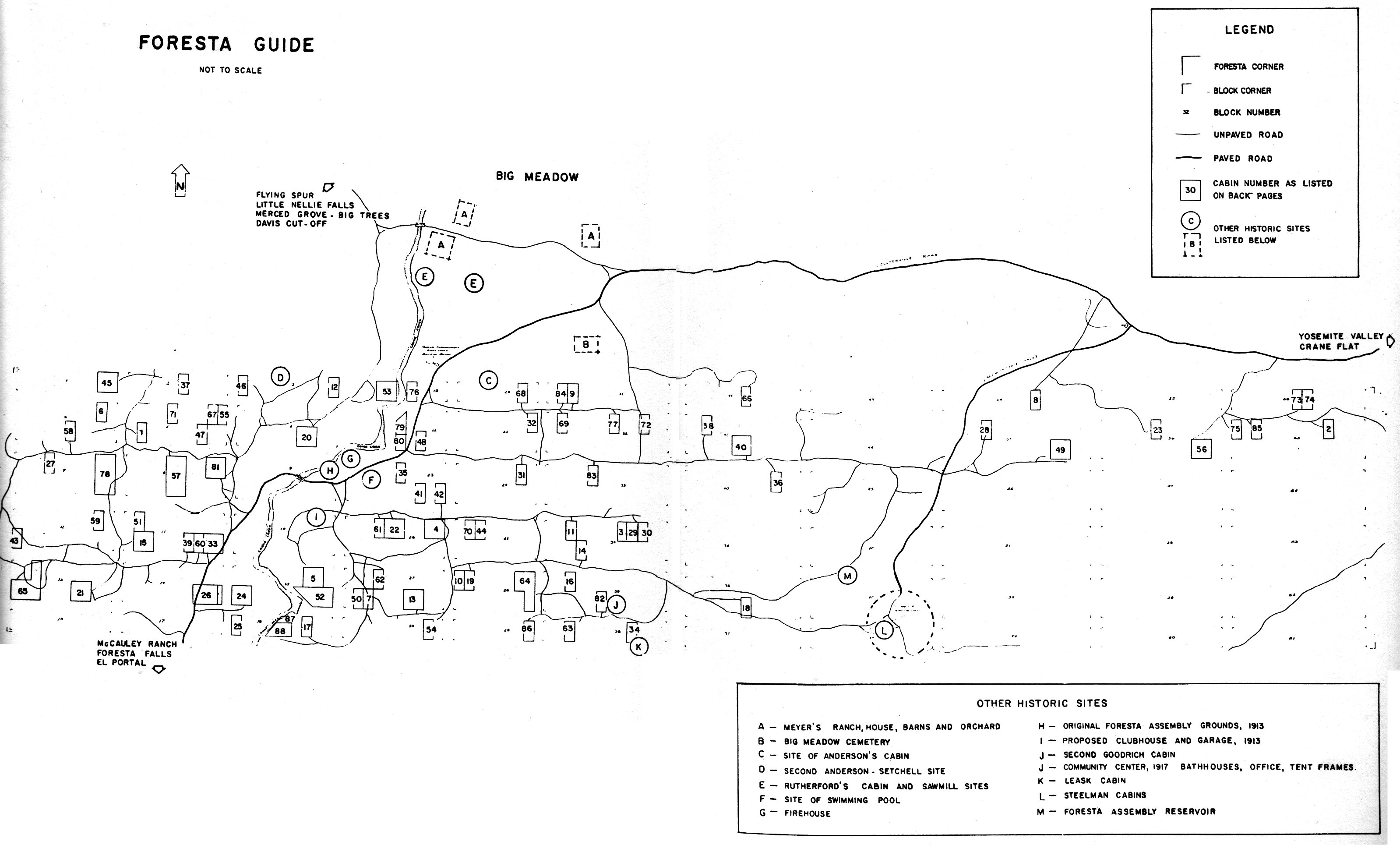
[click to enlarge] |
[96. Mark Massie, “Appraisal Report, Foresta Area - Yosemite National Park,” 23 May 1969, in Box 16, Land Acquisition - Foresta, Yosemite Research Library and Records Center, 6. See Sargent, Yosemite’s Rustic Outpost, for a more detailed history of landownership and construction in Foresta, especially sections on “Today’s Cabins,” “Park Service Cabins,” and “Yesterday’s Cabins,” 94-97; W. I. Madeira, Inspector, Post Office Department, to G. A. Leonard, Inspector in Charge, 3 September 1913, in Central Files, RG 79, NA; Simoneau & Company to Major Wm. T. Littebrandt [sic], Supt., Yosemite National Park, 2 May 1914, in ibid :, “Informational Statement on Foresta Subdivision, Yosemite National Park, California,” 2 pages, in Box 17, Land Appraisals (Foresta and Wawona), Yosemite National Park Research Library and Records Center.]
8. Big Meadow
Fire took its toll in the Foresta/Big Meadow area during the mid-1930s. The McCauley ranchhouse burned in December 1935, while the old Meyer ranchhouse burned in 1936. The Meyers then moved into Thomas Rutherford’s old cabin until completion of their new home in 1938.
The Park Service considered the Big Meadow area next in importance to Wawona in terms of administrative and recreational opportunities. The fact that the area offered the possibility of rapid transportation to the main valley gave these lands almost more importance than the distant properties at Wawona. In anticipation of passenger air transportation increasing after World War II, and expected pressure to permit travel to Yosemite by plane, Big Meadow seemed an ideal site for an airfield. It possessed a firm surface and ample level space for landing, and the noise in connection with the field would not impinge upon tourist appreciation of Yosemite Valley.
Big Meadow has long been considered as a possible location for various park activities, thus helping to relieve some of the congestion on the valley floor. Suggestions have recommended its use for a golf course, as an employee housing area, a place to keep saddle animals when they were not needed on the valley floor, and as a possible home for the Happy Isles fish hatchery because of the warmer water available in Crane Creek.97 Its accessibility and pleasant climate, plus the added advantage of being able to use Foresta lots as homesites in conjunction with park use of the area, ensured that Big Meadow might play a large part in any plan designed to remove certain activities and administrative and concessioner operations from the floor of the valley. (Although El Portal was being studied in the mid-1940s as a place for the relocation of park activities, its climate seemed less agreeable in the summer and the narrow two-way road between it and the park loomed as a major safety hazard.) The Big Meadow and McCauley ranches were both condemned in 1964, but litigation dragged on for years. Meyer continued cattle raising until the McCauley land was included in the park.
[97. Report, Yosemite Advisory Board Meeting, 30 August - 7 September 1943, in Box 10, Advisory Board Correspondence and Files, Board of Advisors, 1943, no. 201-11, Yosemite Research Library and Records Center, 26-28.]
9. White Wolf
By 1931 the Meyer family expressed interest in selling White Wolf in whole or in part. That property had always been sought by the park, although it was not considered a high priority acquisition. Cabins 5 and 6 were added during the 1930s. Business at the lodge picked up during construction work on the new Tioga Road section from Crane Flat to the White Wolf intersection as construction crews and their families patronized it. For a while the lodge was accessible by both the old and new Tioga roads, but after paving ended on the new section in 1940, the old road section from the Big Oak Flat Road intersection through Aspen Valley to White Wolf was permanently closed. John Meyer died in 1940 and his wife Alice five years later.
Gas rationing during World War II and the death of both the elder Meyers curtailed the resort’s activities. In the late 1940s a relative began serving meals, and in 1947 a son of the Meyers and his wife took over the operation until it could be sold. Purchasers were hard to find because of the threat of eminent domain. That purchase took place in 1951 by the Park Service, the deed of sale stipulating that the lodge continue to be operated. The Curry Company leased it and has since made it part of its High Sierra camp system, offering a lodge with dining room, a store, tents, and a few cabins.
Changes were gradually made to adapt to the times and requests for more amenities. In 1961 cabins 5 and 6 were consolidated into one duplex with bath. Improvements brought new customers and the lodge business grew appreciably. Another duplex cabin with bath was created out of the old housekeeping cabins and modern toilets and shower rooms were added. The government relocated and enlarged a nearby campground in 1961. During the winter of 1968-69, a heavy snow load on the lodge roof caused its collapse and the crushing of cabins 5 and 6. The cabins were removed. Although this might have been a good time to update the facilities, plans for that work had not been approved, so the lodge was simply rebuilt without any changes to the former design.
10. Soda Springs
When it had initially purchased the Soda Springs property, the Sierra Club had intended to keep it indefinitely. After World War II, however, as the National Park Service became more dedicated to buying up inholdings in the parks, Sierra Club leaders felt it inconsistent with their philosophy to retain hold of the property. In addition, by the mid-1960s, the club found operation of the Soda Springs campground increasingly difficult due to larger numbers of visitors and a lessening ability to control their impact on the meadows. In 1973 the Sierra Club Foundation, which had held the property in trust since 1971, sold the 160 acres and the buildings to the Park Service.98
[98. Elizabeth S. O’Neill, “Edward Taylor Parsons Memorial Lodge,” Sierra , 63, no. 7 (September 1978): 34-35.]
|
Illustration 241.
Tent cabins at White Wolf Lodge. Photo by Gary Higgins, 1984. |
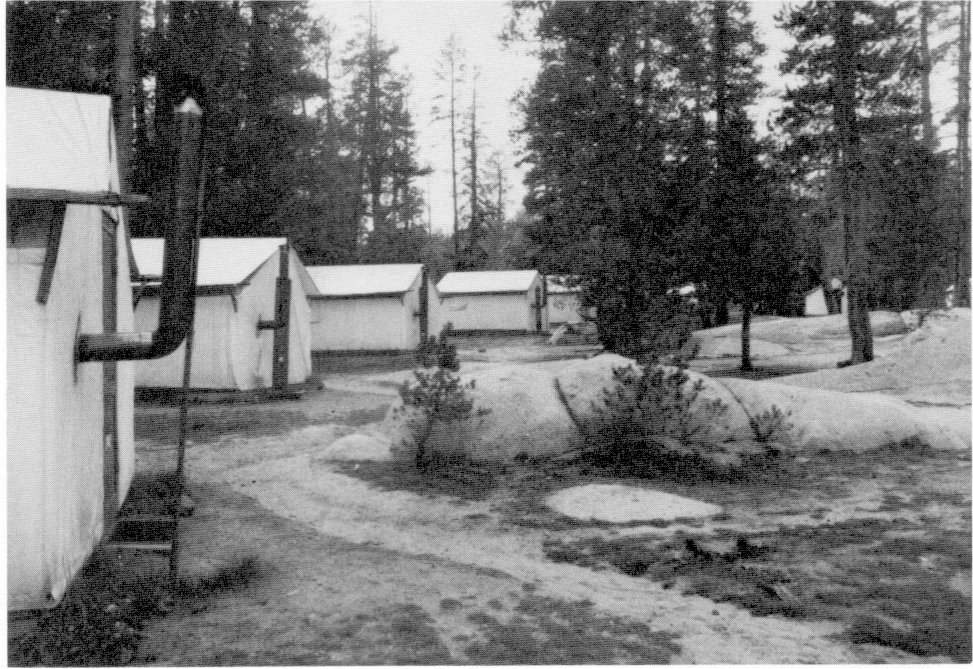
[click to enlarge] |
|
Illustration 242.
Wrangler’s cabin, White Wolf Lodge. Photo by Jo Wabeh, 1986. |
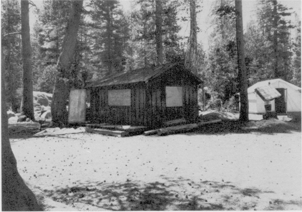
[click to enlarge] |
|
Illustration 243.
Guide map of Yosemite National Park, ca. 1968. From Bingaman, Pathways. [Editor’s note: this map is actually a reprint of a map from the mid-1950s without updates—dea] |
[click to enlarge] |
11. Tioga Mine
a) Renewal of Activity
Years after closing the Tioga Mine, Antoinette Swift, the widow of Rhodolphus’s son Edward, interestted a group of western investors in reopening the Tioga Mine tunnel. The process of probating estates and clearing Mrs. Swift’s title to the property took several years, but finally, in 1933, she granted an option to the Tioga Mining Company of New York City for the Tioga Mine, a group of six patented claims on the Sheepherder and Great Sierra lodes.
That company employed twenty men in driving the tunnel several hundred feet farther. A report to the directors of the company for the year ending 31 December 1933 provides interesting information on the state of the property at that time. It stated that when the crew commenced operations at the beginning of August, they found the mine and camp in relatively good shape, with three of the original buildings still usable. Those included the barn, twenty-four by thirty-two feet by eighteen feet high, with a gabled and shingled roof, constructed to accommodate sixteen horses on the ground floor, with hay storage above; a one-story office building, fourteen by sixteen feet, with a gabled and shingled roof; and a warehouse, about the same size as the barn, of mill-type construction with a trussed, gabled, and shingled roof and a large storage cellar for food. Wind and snow had wrecked the original flimsy mess hall and bunkhouses, and their remaining lumber was fast decaying.
Snowslides had destroyed the buildings erected at the tunnel entrance to house the blacksmith shop and power plant. The air compressor and ventilation blower, although obsolete, still rested on their foundations and showed little deterioration. The tunnel itself contained gas several hundred feet beyond the portal. Although the company had to purchase new ventilation equipment before operations could begin, hopes for success soared, it being noted that
The excellent condition of the tunnel with several stringers exposed, the favorable geology and the showing of values in the outcrops and shafts gave sufficient indications for the presence of ores in commercial quantities to justify the extension ofqihe tunnel to at least cut the first or Sheepherder quartz lode.99
[99. Report of operations at the Tioga Mine for the year ending 31 December 1933, in Box 86, Tioga Mine, Yosemite Research Library and Records Center.]
Mining equipment necessary to extend the tunnel proved difficult to obtain because of the resurgence of mining activity in the region due to the recent increase in the price of gold and silver. While waiting for the equipment to arrive, the crew reconditioned the camp and built a blacksmith shop at the tunnel. Camp reconditioning consisted of converting the barn into a mess hall and offices by building in two floors. The lower one was subdivided to house a kitchen, cook’s quarters, a wood storage facility, a dining room, a washroom, a provision storage area, and the stairs; the upper floor contained an office and quarters for the executive staff. The crew replaced the shingles on the sunny side of the roof with a composition material and installed doors and windows. Workmen converted the former office into their bunkhouse, replacing its wood shingles with composition roofing and installing doors and windows.
The tunnel turned out to be in excellent condition and required no new timber and little repair work. The portal contained benches, bins, and racks filled with miscellaneous equipment, fittings, and parts. There the workers found small tools, air drills, pumps, engines, a mine car, and a box of blacksmith coal. The tunnel also contained an eighteen-inch-gauge mine track, constructed of wooden rails topped with an iron strip, supported on wooden ties, which required replacement in a few areas. A snowslide had destroyed the wooden powder magazine.
After installation of the new mining equipment and cutting of a powder magazine in the rock face, tunneling operations started on 15 October. Excavation proceeded for only a couple of weeks before snow forced suspension of operations until spring. The Tioga Mining Company never struck the elusive Sheepherder lode. Upon Mrs. Swift’s death in 1949, the Great Sierra claims were sold for taxes.100
[100. The Tioga Mining Company actually held more than the six patented claims. It secured title to additional property through the location of overlying claims covering the entire mineralized area and protecting water and timber rights and mill and camp sites. That area consisted of thirty-six claims, which included three reservoir sites, one above the other, so that dams for enlarging the nearby natural lakes could be constructed in the future. Ibid. An excellent account of the Tioga Mine history is found in Douglass Hubbard, Ghost Mines of Yosemite (Fresno: Awani Press, 1958).]
b) Mine Ruins
The Great Sierra Consolidated Silver Mining Company established the mountaintop community of Dana in 1881 when it purchased all the claims in the vicinity of Tioga Hill. Because living on the summit of the High Sierra proved difficult, the company relocated its town at Bennettville, near the north base of Tioga Hill. First named Bennett City, this town was almost immediately evacuated when the Tioga Mine closed in July 1884. Company guards patrolled it for a while, but when no further mining activity proved forthcoming, even they left, and the small settlement became a ghost town. Two buildings, one a two-story barn, remained by the 1960s.101
[101. Lou Evon, “Mine Machinery, Treasured as Rarity, Once Ran Famed Failure,” The Fresno (Calif.) Bee, 15 October 1965.]
The site of Dana Village, on Tioga Hill above treeline, comprises five dry-laid stone cabins, a wooden blacksmith shop, and a small stone powder house above Gaylor Lake on Tioga Hill. The cabin walls are well defined, but portions of them are in ruins; the blacksmith shop was destroyed by an explosion during the last months of operation of the mine. Shaft openings are all caved in. Only a single one-story, one-room masonry structure, twenty-five by eighteen feet, remains almost intact.
Chief Naturalist Douglass Hubbard retrieved much of the old machinery from the Tioga Mine. It included an old air compressor and drill that were moved to the Wawona Pioneer Yosemite History Center for preservation. Both the compressor and drill were manufactured by the Burleigh Company of England. According to personnel at the Smithsonian Institution in Washington, D. C., this is the only Burleigh compressor known to be extant, while only two of the Bureigh drills are known to exist. The Burleigh rock drill was a significant factor in the development of tunneling and mining technology. The mine owners donated the machinery to the park.102
[102. Ibid.]
12. MISSION 66 Provides Impetus for Land Acquisition
By 1951 the U. S. government had acquired all of the private land at Gentry. Also in that year the timber and land exchange agreement between the U. S. and the Robert Bright interests involving their Aspen Valley and East Meadow properties was approved by the Secretary of the Interior’s office. By 1954 an increase in prospecting and mining activity in the western states brought a renewed interest in mineral lands adjacent to the park. The tax sale of several patented mining claims in the park in the vicinity of Tioga and Mono passes re-opened the alienated land situation. As has been mentioned throughout this study, the Department of the Interior, as well as the earliest army administrators, believed private ownership of lands within parks to be incompatible with public use. Part of Yosemite’s MISSION 66 program involved acceleration of land acquisition—1,271 acres (exclusive of city and county of San Francisco lands) remained to be acquired. Undeveloped tracts would be given first priority and developed properties with improvements that could be utilized for park purposes would be sought next. Officials optimistically forecast that all of the remaining private lands would be acquired by the close of the MISSION 66 program.103
[103. USDI, “MISSION 66 for Yosemite National Park,” in Box 22, Backcountry, Yosemite Research Library and Records Center, 10-11.]
1. O’Shaughnessy Dam Raised
In 1932 the city of San Francisco and the Department of the Interior simplified the entire Hetch Hetchy situation by signing an agreement providing for administrative control of the area by the National Park Service, the formal entry of the Public Health Service as advisor on watershed and reservoir protection, and recognition by the city that its authority and responsibilities included only the supervision of the dam mechanism, control of reservoir runoff, and the supervision and domiciling of its employees. Under the new agreement, the city no longer maintained any roads or trails in Yosemite.
In 1934, in order to keep the Moccasin Powerhouse running at full capacity, year-round, a Public Works Administration project began, raising O’Shaughnessy Dam 85-1/2 feet and enlarging it to its present size: 430 feet above bedrock, 308 feet base thickness, 900 feet crest length, and impounding 360,000 acre-feet of water. The enlargement, completed in 1938, was accomplished by building an addition against the downstream face of the old dam to increase its thickness and then raising its height. The dam contains fourteen outlet conduits with sliding gates through which water from the reservoir can be released. Cost of the dam, including enlargement, totalled $12,600,000. In 1935 the city built a 200-man bunkhouse and a 100-man bunkhouse; thirteen temporary duplex houses of a design compatible with the landscape; remodeled one building for office headquarters; and remodeled the old mess hall. All structures were to be used during the raising of O’Shaughnessy Dam.
2. Hetch Hetchy Railroad Revived
Heavy use of the Hetch Hetchy Railroad discontinued in the mid-1920s with completion of the dam and aqueduct, but the line functioned for several more years as a supply and maintenance route in winter. When in 1933 the city made plans to enlarge O’Shaughnessy Dam, it again needed the railroad to haul heavy freight and rebuilt the line. This time it was leased to the Sierra Railway, with the Hetch Hetchy Railroad becoming its Hetch Hetchy Division. In May 1938, with construction work practically completed, the volume of freight carried on the line became too small to justify the expense of steam operation. Therefore gasoline locomotives were substituted for the remaining work.
Finally maintenance problems due to heavy rain and snowfall in the winter impeded hauling to such a degree that the Sierra Railroad, which had acquired the Sierra Railway of California in 1936, discontinued the operations of the Hetch Hetchy line. The station and other structures at Hetch Hetchy Junction were removed in 1937-38; other structures at Groveland were dismantled in 1944. Sidings and spurs were removed to reclaim steel during the war years. The main track soon deteriorated and, as roads in the mountains improved, the railroad became less necessary. The entire line was finally dismantled in 1949.
Parts of the old right-of-way were used for a new city-built paved road to Mather and for access into the Hetch Hetchy area and in making the Big Oak Flat Road an all-year access to Yosemite Valley. The old route can be seen and hiked in places. One of the steam locomotives, Hetch Hetchy Shay No. 6, is on display at the Transportation Museum at El Portal, along with a track bus/railcar/ambulance. Two short pieces of track remain—one embedded in concrete over a shop pit at Hetch Hetchy Junction and the other in the concrete floor of the Moccasin powerhouse.104
[104. “History of the Hetch Hetchy Railroad,” The Western Railroader 24, no. 10, Issue No. 262 (October 1961): 2-12; Wurm, Hetch Hetchy and Its Dam Railroad, passim., provided much information on the railroad and the construction of O’Shaughnessy Dam.]
|
Illustration 244.
Map of the Hetch Hetchy Railroad, 1947. From “History of the Hetch Hetchy Railroad,” in The Western Railroader, 24, no. 10 (October 1961). |
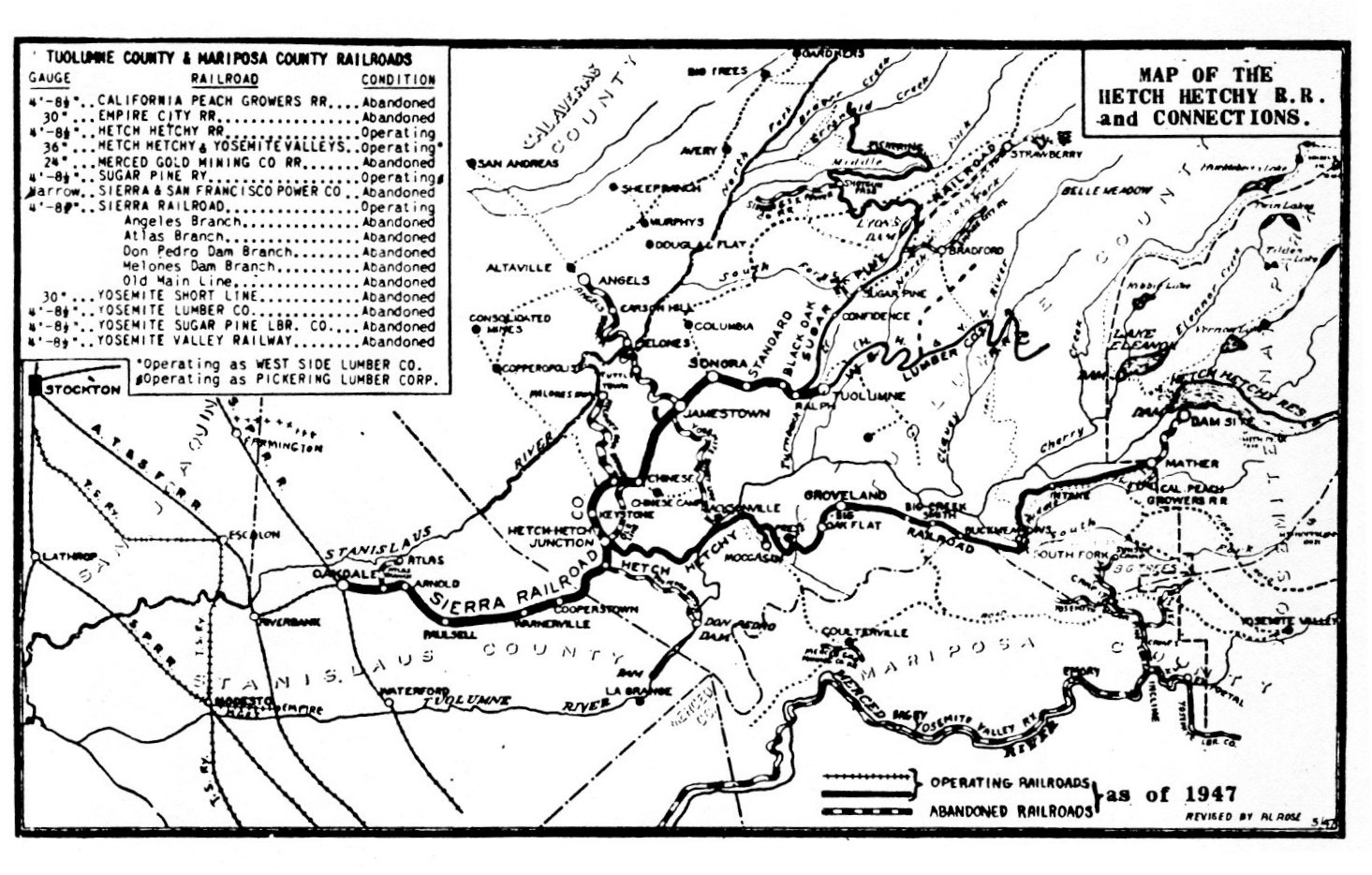
[click to enlarge] |
|
Illustration 245.
Bunkhouses and boardinghouse, Hetch Hetchy dam site, 1930s. Yosemite Research Library and Records Center files. |
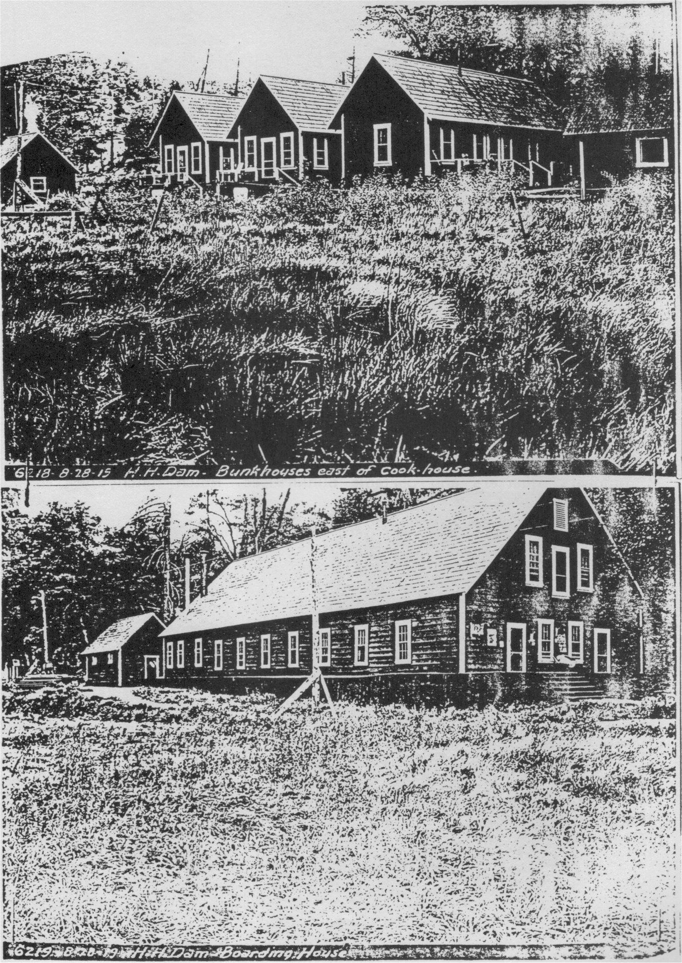
[click to enlarge] |
|
Illustration 246.
Engineers’ quarters and portable bunkhouses, Hetch Hetchy dam site, 1930s. Yosemite Research Library and Records Center files. |
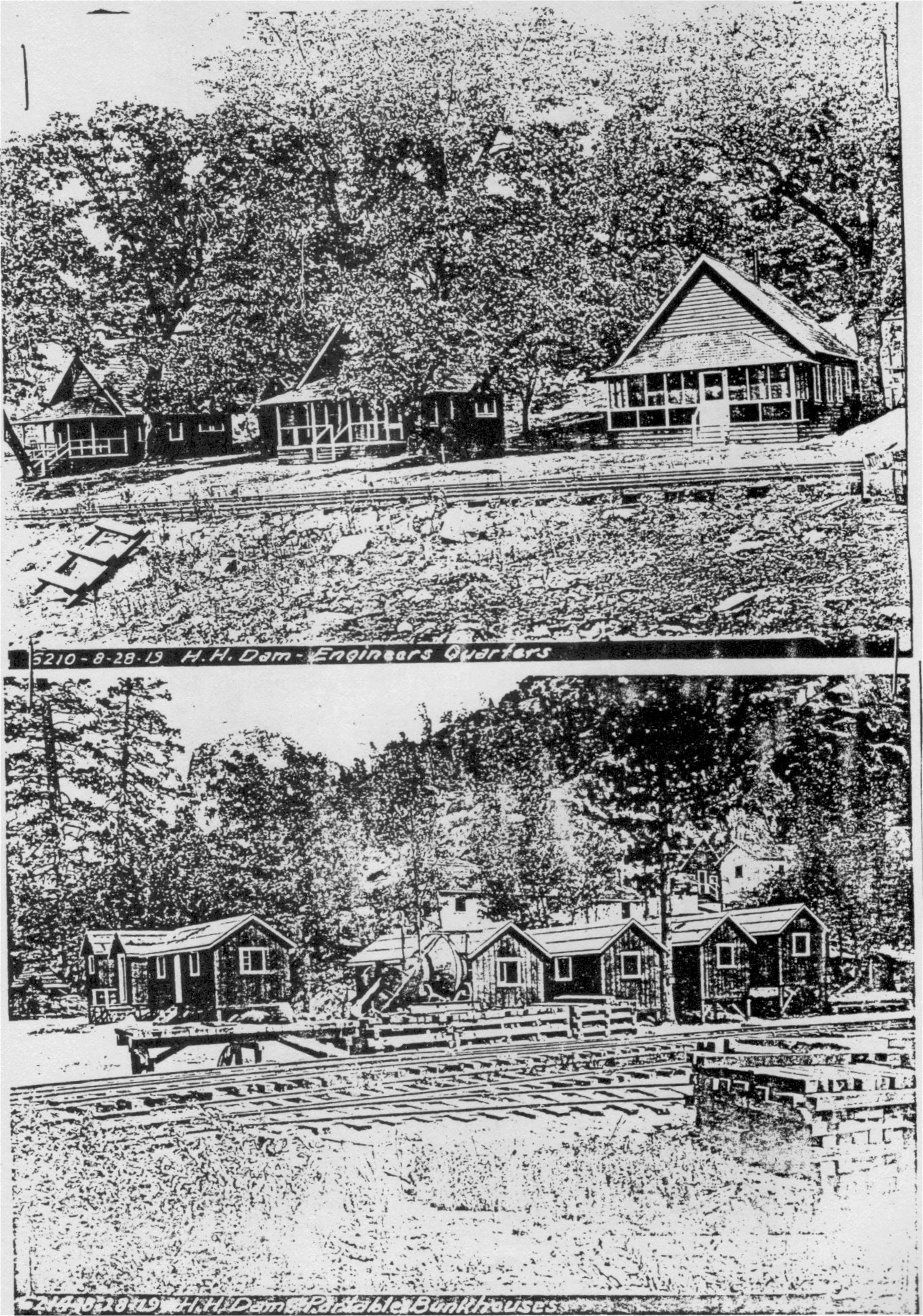
[click to enlarge] |
|
Illustration 247.
Office guest house and residences, Hetch Hetchy dam site, 1930s. Yosemite Research Library and Records Center files. |
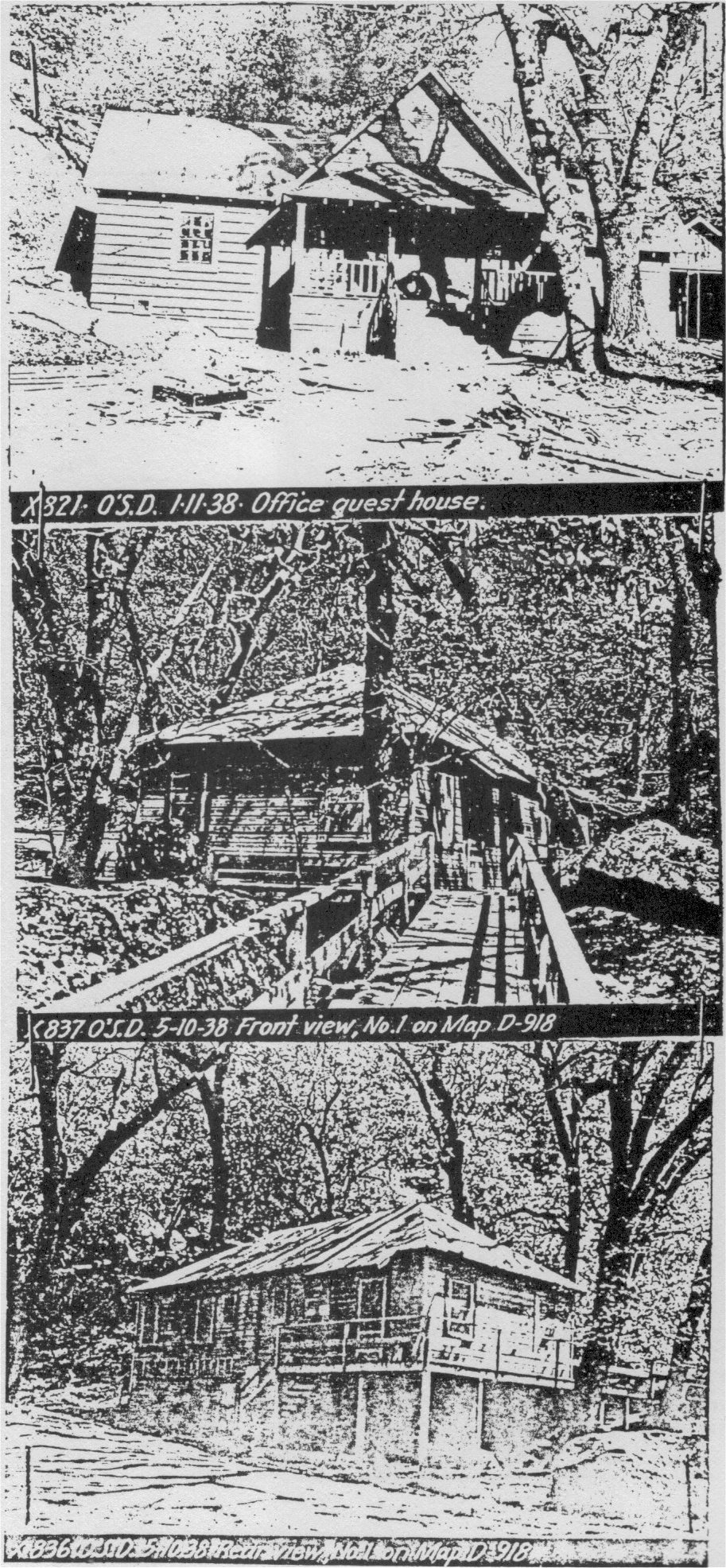
[click to enlarge] |
|
Illustration 248.
Map of Hetch Hetchy village with 1935 additions. Yosemite Research Library and Records Center files. |
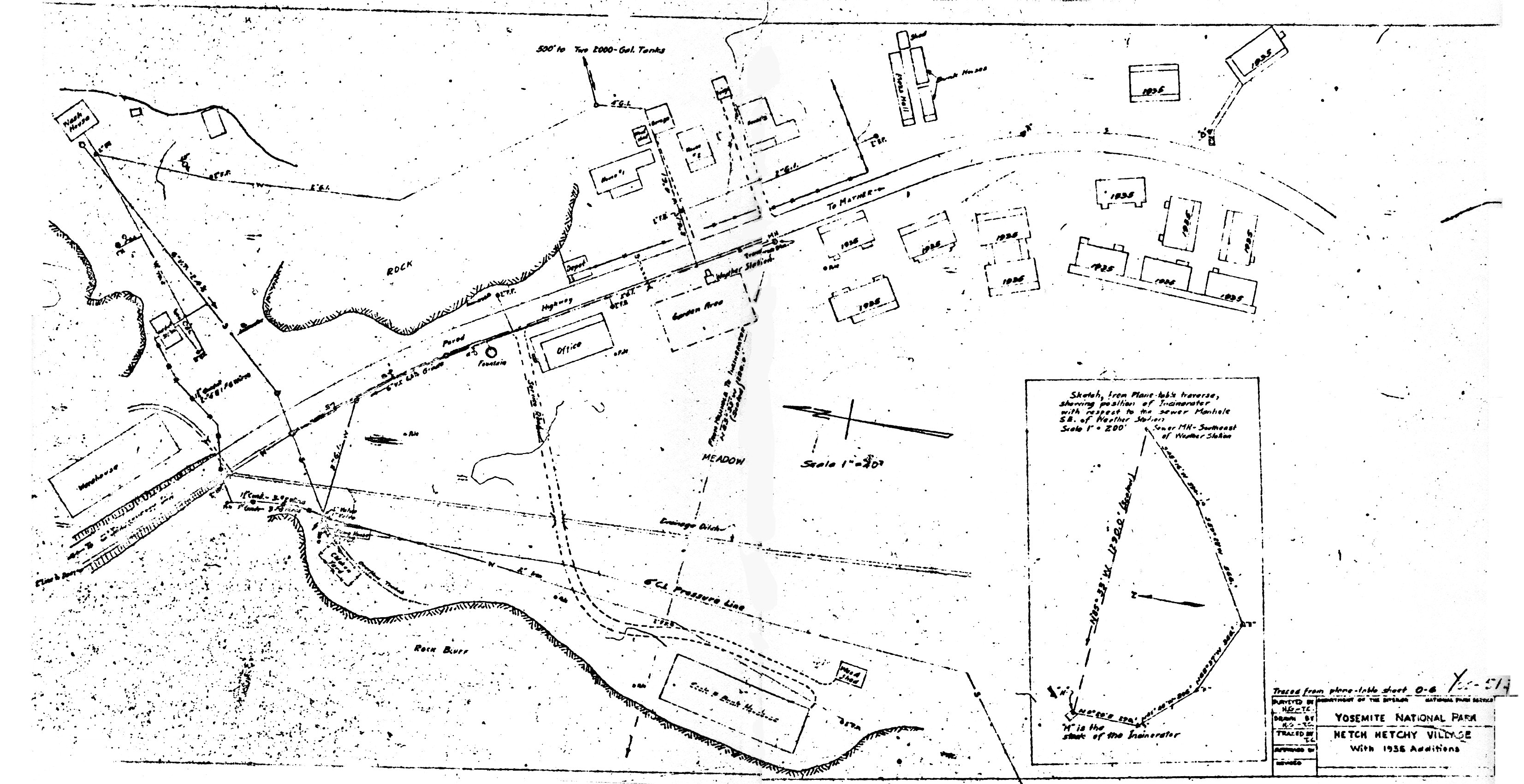
[click to enlarge] |
3. Construction and Security, 1930s-1950s
In 1938 the guest house being built by the city was completed. In that same year the city turned over to the Park Service two buildings that had been requested prior to the submission of the plans and specifications for the dam enlargement. At that time Superintendent C. G. Thomson had requested that the city construct one or two ranger residences as a prerequisite to issuance of the permit. Those buildings formed units of the construction camp but were better built in order to be acceptable to the Park Service upon completion of the project. Those buildings were the old guest house, the most southerly of the buildings constructed along the east side of Mather Road, and the duplex cottage, about sixty feet to the northwest. The Park Service requested those structures to house trail and road maintenance crews in the summer, sanitation men, and patrolling rangers. Previously the superintendent had used a city of San Francisco cabin that had since been demolished.
During World War II, to protect the Bay area’s water systems from sabotage, the Hetch Hetchy Dam and reservoir and the Lake Eleanor Dam became closed military areas, with military guards stationed at Mather camp and at Hetch Hetchy. The restrictions against public use were lifted in May 1945. In 1947 the city commenced construction on a new cottage at Lake Eleanor, and a year later a new reservoir keeper’s cottage and a dormitory at Lake Eleanor were completed. In 1951 a camp house was built at Hetch Hetchy for use by Hetch Hetchy Water Supply employees who occasionally went there to perform maintenance work. It still stands southeast of the comfort station and northeast of the damkeepers’ residences on the main road.
In October 1934 a group of bond holders incorporated the Yosemite Valley Railway Company and took over the Yosemite Valley Railroad Company as bankruptcy receivers in December 1935. Traffic improved somewhat as the Sugar Pine Lumber Company resumed its Merced Falls operation at that time and mail and tourist revenue again began to climb.
|
Illustration 249.
Guest cottage, Hetch Hetchy. |
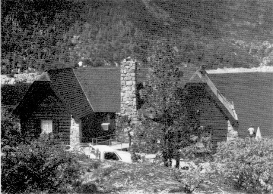
[click to enlarge] |
|
Illustration 250.
Lake Eleanor dormitory built by City of San Francisco. Photos by Robert C. Pavlik, 1984. |
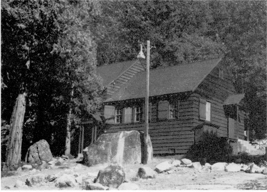
[click to enlarge] |
|
Illustration 251.
Hetch Hetchy covered water line. |
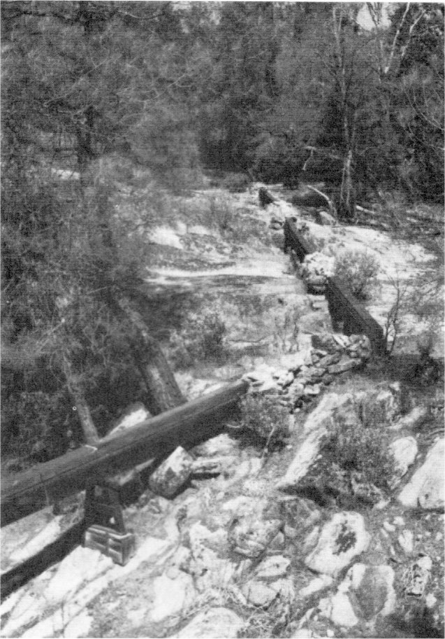
[click to enlarge] |
|
Illustration 252.
Packer’s shack, Lake Eleanor Road - Jack Main Canyon Trail junction. Photos by Robert C. Pavlik, 1984. |
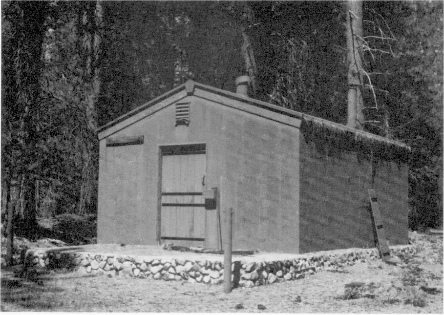
[click to enlarge] |
[105. Johnston, Short Line to Paradise, 19-22, 26-30, 37. Also see The Western Railroader, Issue No. 257, vol. 24, no. 5 (May 1961): 3-4, 8-9, 11-12, and Issue No. 310, vol. 38, no. 11 (November 1965), and Johnston, Railroads of the Yosemite Valley, 21-77.]
Park policies relative to wildlife management, and pest, fire, and stream control underwent more intensive scrutiny beginning in the early 1930s. In 1931 research reserves were established at White Mountain, Boundary Hill, and Swamp Lake. George M. Wright et al.’s Fauna of the National Parks of the United States publicly recognized the necessity for broader considerations in the formulation of park management procedures. The disruption of ecosystems as a result of the sometimes arbitrary but more often politically motivated placement of boundaries impeded the proper protection and conservation of park resources.
The availability of money during the implementation of emergency work programs beginning in the early 1930s enabled the hiring of ecologists to study national park conditions and advise on CCC work programs. By the late 1930s even superintendents voiced the need for organized botanical, biological, and ecological research on the local level to enable the proper understanding and interpretation of a park’s natural features. The advent of World War II and a strained economy hindered development of such a program. After the war, however, the Park Service renewed attempts to encourage use of scientific data in park planning and management, and master plans of the 1950s began to incorporate ecological studies. Yosemite and other areas then began to utilize ecological expertise to address problems caused by human impact through the years on the environment.106
[106. Hartesveldt, “Effects of Human Impact,” iv-vi.]
1. River and Stream Control
James Milestone has divided this period of stream control efforts into two distinct phases, the first that of the “Landscape Architect Years,” 1928 to 1938, characterized by implementation of a variety of erosion control devices, such as revetments, channel clearing, dam and bridge construction, and pipe laying. During this time, landscape architects concerned themselves with making the river aesthetically pleasing to the visitor, and the CCC accordingly removed much brushy debris and log jams simply for scenic purposes. Enrollees also sloped and revegetated undercut riverbanks. A change in thinking occurred after two floods of staggering proportions hit the park in 1937 and 1950:
When the 1937 flood occurred in Yosemite it was considered one of the emergency situations which happens only once in a hundred years. However, when it was followed by a similar flood in 1950 it was realized that such floods might occur in the future at much shorter intervals. Since that time both the Service and the Yosemite Park and Curry Co. have taken such possibilities into consideration and have planned accordingly. This advance planning resulted in less losses to the Service and the concessioner during the 1955 flood than would have occurred if such planning had not been done. . . . The 1955 flood also pointed up the need for additional planning, especially with respect to the need for a more rugged type of construction designed to withstand the impact of major floods.107
[107. “Emergency Flood Estimates - 1955,” in Box 11, Floods and Water Supply, Yosemite Research Library and Records Center, 3.]
The flood of 1955 precipitated the “Preventative Nature Design Years/1 1955 to 1967, during which time flood control became the preeminent concern and control work aimed at protecting developed areas from rising waters. The Park Service concentrated on methods of draining floodwaters faster and continued the reduction of bank erosion. Emergency reconstruction work included channel improvement, extension of streambank revetment, and construction of retaining walls and larger drainage structures in an effort to control problem areas.108 Several thousand feet of riprap laid at this time significantly stifled the Merced’s lateral migration.
[108. Milestone, “Influence of Modern Man,” 86-89.]
The following events that took place during the 1930 to 1960 period affected the course of the Merced River and its tributaries:
1932 - construction of the El Capitan and Stoneman bridges.
1933 - construction of Bridalveil Bridge.
1934 - continuance of erosion control on Yosemite Creek; removal of logs and debris along the Merced from Happy Isles to the park boundary; CCC work; removal of concrete piers from the Old Village bridge; installation of a sandbag dam at Mirror Lake to prevent it from drying out.
1936 - Old Village bridge rebuilt and a rock dam built under it to form a reflecting pool.
1937 - 9 to 13 December flood in which 10.86 inches of rain fell; flood lake formed in central valley; superintendent’s house, Old Village store, and chapel flooded; Yosemite Lodge cabins standing in four to five feet of water; 10 footbridges destroyed.
1938 - Swinging Bridge rebuilt 200 feet downstream from old site; 140-foot rock wall built behind Lost Arrow residence to divert water from Yosemite Creek.
1950 - 18 to 20 November flood, 14.52 inches; log jams threatened bridge damage; river debris left over entire valley.
1955 - 21 to 23 December flood in which 17.41 inches of rain fell; streambeds afterwards widened and deepened and other control devices strengthened, such as replacing wood with concrete, to withstand damage from future floods.109
[109. Ibid., 94-99.]
The 1937 flood wrought great devastation in Yosemite Valley to Park Service and concessioner developments, although it did not greatly affect the valley’s physical features. After World War II and into the early 1970s, stream control emphasized protecting of MISSION 66 projects, such as new campgrounds, tourist facilities, and service structures, from being undercut and washed away.
Through the years, and as somewhat described in preceding chapters, several methods of stream control have been implemented throughout the Yosemite Valley stream system of which remains exist today. Riprap revetment constituted one of the most common methods of stream control and proved most effective at retarding stream bank erosion. The technique consisted of protecting eroded banks with material either from the streambed or from nearby fans or talus slopes. Often river gravel excavated from the streambed was spread over the stream banks, which were then sloped, and covered with close-fitted granite boulders or hand-placed cobbles. Early riprap consisted of smaller stones because of the difficulty of finding or transporting larger granite materials. In later years riprap revetment in the form of large boulders came from as far away as El Portal. Revetment has been placed in such quantities in Yosemite Valley that it has drastically changed the geomorphology of the entire river system by eliminating braided channels and preventing lateral migration. Willow planting began in the 1880s and continued in connection with riprap revetment to provide extra bank protection and give the riprapped banks a more natural appearance. Willow planting in Yosemite Valley reached a peak during the CCC work of the 1930s.
Another method of stream control involved man-made dams, of which there are fourteen in the valley stream system. These alter natural stream conditions by pooling the water. Pipe dams, the most common type, consist of six- to eight-inch cast-iron pipes emerging from the riverbank and crossing the river bottom, resting on top of the riverbed. Rock was placed over the pipes throughout their length for protection. The pipe dams in the valley are quite old and no longer serve a purpose. Two pipe dams existed at the Old Village footbridge. The one below the bridge created a reflecting pool, while the upper one created a huge reservoir that provided ice for the Curry Company. A third major pipe dam exists at the Yosemite Creek highway bridge. The rest of these dams are found throughout tributary streams and are in failing condition.
Six diversion dams have been built to divert water and ice into a penstock pipe or into another channel. The largest diversion dam is associated with, the power plant on the Merced River. Two others are on Yosemite Creek just below the Yosemite Fall footbridge, which protect Yosemite Lodge and the Lost Arrow residences. The others are wing dams, large mounds of granite cobbles that protrude out into the river channel about eight feet, at a thirty-degree angle, to divert the river current. Three are located on the Merced: one at the west end of Lower River Campground and two on the north bank of the Merced at the south end of Leidig Meadow, all built by the U. S. Army.
The only valley reservoir dam was built at Mirror Lake to raise the original water level to maintain it throughout the year. The Mirror Lake outlet supported many dams from at least 1882 on that were successively flooded out. Dredging of the lake ended in 1971. Unintentional stream control structures consist of thirty-eight bridges on the valley stream system, varying from small footbridges of split logs to large arched, reinforced-concrete structures with granite stone facings. These structures constrict the natural river channel and restrict natural lateral migration. They also tend to back up water during floods when litter accumulates behind them.
Channel excavation and clearing took place as early as the 1880s and continued throughout the years as extensive dredging of silt, clay, sand, and rock deposits provided gravel for concrete construction projects, such as bridges, warehouses, hotels, and roads. Channel clearing consists of removal of floating matter such as pine needles, leaves, and logs, which actually could be handled naturally by the river system if left undisturbed. Because of the revetted banks and bridges, however, channel clearing has become necessary to prevent the accumulation of debris behind bridges where lateral erosion is retarded, causing jams and resulting in rising water levels, the breaking of new channels, or broken bridges. This type of work became necessary as more expensive structures were built in the valley. The CCC accomplished much channel clearing in the 1930s. Into the 1970s, fallen trees picked up by the river during high water that threatened log jams forced sporadic log clearing for several years and regular clearing activities after 1965.110 Since 1965, little stream control has been undertaken.
[110. Natural Resources Management Plan, 1977, 13. A major removal of fallen trees from the Merced took place in 1963, with twenty to thirty trees removed each year afterwards to prevent bridge damage. Milestone, “Influence of Modern Man,” 101-165.]
Despite these many activities, flooding in Yosemite Valley persists during the winter and spring as a result of rapid snowmelt. Winter floods tend to be larger because more water is involved, but spring floods occur more often. The 1955 flood, the largest ever recorded in valley history, necessitated $62,000 for the repair of grounds and streams. Repairs were performed on stream bank revetments to contain and channel future floodwaters and streambeds were widened and deepened to avoid future revetment damage.
The natural conditions of the stream system of Yosemite Valley have been unnaturally altered through these various stream control processes that have prevented lateral erosion and increased drainage. The stream system has been ignored as a significant natural feature of the park in the zeal to protect costly investments and to ensure access routes.111
[111. Addendum to the Natural Resources Management Plan, 1977, 54.]
In 1943 William Colby of the Yosemite Advisory Board expressed concern over riverbank erosion due to bathers, children, and adults desiring to get down to the stream edge. Colby wrote:
The river bank erosion is an exceedingly vital matter and is one that requires expert study over a long period of time. It is one on which the Service could well expend a great deal of time and is second only in importance to the question of the transformation of conditions on the floor of the valley resulting from excessive forest growth due to human control of normal destructive agencies such as fire.112
[112. William Colby, “Report, Yosemite Advisory Board, September 1942 - January 1943,” in Box No. 10, Advisory Board Correspondence and Files file, Board of Advisers, 1943, no. 201-11, Yosemite Research Library and Records Center, 5.]
Current river control is concerned with finding more natural methods of erosion control to fit the aesthetics of the park, such as instream flow diversion using boulders or bank protection using gabled logs. In 1975 Bryan Harry, a former Yosemite naturalist, discussed the problem of managing Yosemite’s natural resources:
If the valley had a very low density of people present and a very small investment in expensive facilities—then natural processes of fire and flood could run unchecked. Thus, naturally, the desirable mosaic of meadows, oak-lands, pine-woods, and fir forest would result from entirely random processes. This isn’t the case. There are many people and heavy investment—and now man must meddle with deliberate fires and active resource management practices to perpetuate the semblance of a natural valley. These practices should be on a “little every year” basis and funded as the highest priority valley function if we are to hand along the valley to the next generation in the condition we found it. Unluckily, some crucial decisions fall to us now because California Black Oak is on its last legs; major vegetation type shifts to cedar-fir forest are in an advanced stage (as a result of decades of fire and flood control).
Too, much can be done to remove some development (bridges and streamside campsites) from streams in the upper valley and we can then do away with much river rip rap. Certainly, we shouldn’t cram added development down valley where the Merced will then haue to be stabilized in places to protect new investments.113
[113. Bryan Harry, “Views (and Prejudices) Regarding Yosemite Valley Planning,” February 1975, in Master Plan Files, Yosemite National Park, Denver Service Center, NPS, 3-4.]
It is recommended that recordation of the valley pipe, diversion, and reservoir dams be undertaken as part of a parkwide trail, bridge, and dam survey. Their current condition should be noted and evaluations made of National Register eligibility.
2. Fire Control
As mentioned in the previous section, in 1928 the Park Service prepared its comprehensive fire prevention plan detailing requirements for adequate national park fire controls and facilities. After the authorization of fire lookouts in 1931, Yosemite constructed the Crane Flat facility that same year. Three years later the Henness Ridge lookout and Miguel Meadow Fire Guard Station took form.
In 1933 John Coffman became chief of a new Branch of Forestry and took charge of the ECW program. During this New Deal period, the parks received a major overhaul in accordance with the national fire plan. Whereas in 1929 the Park Service’s permanent fire organization had consisted of a national fire officer, a special fire organization at Glacier, and a fire guard at Sequoia, the emergency programs of this period resulted in a network of fire lookouts, telephone lines, fire hazard cleanups, and crews for fire suppression, all geared toward protection of the national parks’ irreplaceable resources. During this time, standards for fire control and fire facilities within the national parks became more equal to those in national forest areas. Problems did arise as the need for prompt fire response resulted in construction of fire roads, trails, and facilities, conflicting with the policy of keeping wilderness areas free from such development. Also the ability such construction gave recreationists to get into the backcountry increased the fire hazard. These were seen as the price to be paid for protecting the park’s unique treasures and irreplaceable artifacts:
Not until the concept of preservation changed its emphasis from the products of nature to the processes of nature was the imperative for fire protection diminished. Until the 1960s virtually every advocate of wilderness and every director of the Park Service demanded a strong fire program.114
[114. Pyne, Fire in America, 299.]
The reduction in public works money during World War II drastically affected Yosemite’s fire control capabilities. Emergency fire appropriations carried the parks through World War II and in 1943 a memorandum of understanding between the departments of Agriculture and Interior made Forest Service resources available to the parks. There was a definite decline in facilities and services, however. Fire control again became a part of ranger activities and forestry became a division of resource management. During MISSION 66, the expansion of fire control facilities was carried out with a view toward providing additional interpretive centers.
During the 1960s, prompted by the Advisory Board on Wildlife Management in the National Parks chaired by A. Starker Leopold, a professor of wildlife management at the University of California, the committee’s report of 1963 changed the Park Service concept of park management, advocating that biotic conditions in the parks be maintained or recreated as nearly as possible in the condition prevailing when white men first visited the area. The Secretary of the Interior endorsed those policies and they formed the foundation for a complete overhaul of Park Service administrative policies. Park Service fire control was seen as detrimental to proper resource management. The report opened the way for prescribed burning and advocated research as a guide in setting objectives for resource management.115
[115. Ibid., 298-301.]
3. Grazing
Grazing management has remained an important part of the park’s natural resources program. Meadow destruction from this practice is always possible due to the trampling down and overgrazing of certain perennial grasses, which would then be replaced by weeds, brush, and trees. Extended use of an area can result in the killing of grass roots, resulting in bare patches easily eroded by water. Moderate pack stock use of high mountain meadows is not detrimental to those areas.
Through agreements made during the grazing period of World War I, cattle had been allowed to range within portions of Yosemite. Eleven-Mile Meadow became a base of operation for cattlemen, who had erected thereon three shacks, a barn, and fencing. By 1931 the park intended to eliminate all structures and restore the area to park status, per the Secretary of the Interior’s instructions.116
[116. C. G. Thomson, “Final Report to the Director on the Proposed Exchange of Government Owned Lands Within Yosemite National Park for Lands Now Owned by Messrs. Best and O’Connor,” 3 February 1931, in Central Files, 1907-39, RG 79, NA, 8.]
In the mid-1930s, the Yosemite Park and Curry Company could graze horses and mules necessary to supply and accommodate its guests and employees in areas approved by the Secretary of the Interior. Prior to completion of the new Glacier Point Road, concessioner stock grazed the Bridalveil Meadow area on the south rim of Yosemite Valley. The Wawona Meadow, though grazed intensively for the previous sixty years, had become less feasible for that purpose because of various new physical developments, such as the golf course and proposed airplane landing field in its center.117
[117. E. Lowell Sumner, Jr., Regional Wildlife Technician, Wildlife Division, National Park Service, “Report on the Yosemite Saddle and Pack Stock Grazing Problem,” 27 November 1935, 1, 6.]
By 1940, however, the Curry Company still grazed its stock in the Wawona Meadow. Fall pasturage took place at McGurk Meadow and in upper Little Yosemite Valley, with winter pasturage in the foothills.118 Most horse and mule use in the park has occurred near developed areas, where the stock is housed and fed in corrals overnight. Grazing has mostly involved horses, mules, and burros transporting supplies and people into the backcountry. The Park Service requires all such grazing by the concessioner and park employees to be incidental to a recreational trip or necessary to backcountry maintenance, patrol duties, or resource surveys. Management of grazing resources is guided by ecological principles. After 1977 all pasturage not incidental to recreational or management trips had to cease, affecting primarily the concessioner in the Wawona area.119
[118. “Narrative Annual Forestry Report of Yosemite National Park for the Calendar Year 1940,” RG 79, FARC, San Bruno, California, 28.]
[119. Natural, Resources Management Plan, 1977, 19-20, 24.]
4. Insect Control
Insect control work, which started in Yosemite in 1913, had been continued as needed. In general, the season of 1931 brought seriously increasing infestations in both the Stanislaus and Sierra national forests bordering the park. From 1930 to the summer of 1933, the amount of damage to forest trees due to insect infestation steadily increased, reaching epidemic proportions. Those infestations were marked by heavy attacks of the western pine beetle during the summer and by very general topkilling of yellow pine in the fall by engraver beetles.
Emergency Conservation Work crews combated the infestations. Most control work involved the western pine bark beetle, which damaged Ponderosa pines, and the mountain pine bark beetle, which injured the sugar and lodgepole pines. By 1934 the lodgepole needle miner moth was increasing in occurrence.120
[120. Emil Ernst, “Insect Control in Yosemite,” Yosemite Nature Notes 13, no. 7 (July 1934): 49-52. A decline in logging activities near Yosemite made many loggers available for insect control in the park, their employment in that activity somewhat alleviating the unemployment problem in Mariposa County.]
Insect control work, started under regular park appropriations, and then carried on largely by the CCC, greatly reduced the numbers of beetles and saved many times the number of trees cut in combating them. Enrollees destroyed egg masses and cocoons of tree-damaging moths and cut and burned beetle-infested trees. An additional benefit of CCC involvement in insect control work was the conversion of cut trees into shakes and huge log benches installed in suitable locations for weary visitors. Timber products obtained and used for maintenance and improvement projects largely comprised by-products of insect control, fire hazard reduction, timber clearing, and the like. The CCC organization gained credit for much of the success of the campaign against bark beetles in the Yosemite forests.
Studies of lodgepole needle miner biology had been carried out in the Tuolumne River drainage since before 1949. The opinions of entomologists regarding needle miner activity changed through the years. Many scientists, along with many Park Service personnel in the 1930s to 1950s, believed it to be a destructive pest requiring extermination. Others believed the insect played an important role in maintaining healthy forests by thinning out older trees. Outbreaks of needle miner infestation occurred in Yosemite between 1910 and 1922, from 1933 to 1940, and again from 1945 periodically into the early 1960s. The insect attacked thousands of trees, creating extensive “ghost forests.”
The Park Service undertook airplane spraying of infected trees with DDT in 1948 and again in 1953, but with little success. In 1954, when the mountain pine beetle population increased, killing off trees already weakened by the needle miner, almost two thousand trees were felled and burned north of Tuolumne Meadows. A year later four entomologists established a summer field camp in the meadows to study the needle miner and methods of control. Their work included testing of more powerful insecticides such as malathion. In 1959 a major application of that chemical was made on several thousand acres of lodgepoles around Tuolumne Meadows, killing seventy-five percent of the needle miners. Spraying of additional acres took place into the early 1960s.
The National Park Service faced a complex problem in its control of forest pests. Although the Forest Service, responsible for the protection of potential lumber supplies within its holdings, could justify severe actions against forest pests, the Park Service had been charged with protecting all aspects of the natural scene and needed to concentrate more on biological controls. Because both the needle miner and lodgepole pine were native to Yosemite, Park Service officials often had trouble accepting the use of artificial means to control the problem. The role of needle miner caterpillars in encouraging the growth of younger lodgepoles could not be ignored, even though the interrelationship resulted in adverse aesthetic affects.
The Leopold Report of 1963 questioned the mass application of insecticides to control forest insects in national parks because of the unknown affects on a biotic community as a result of change in the ecological balance. The recognition grew that insect devastation played a significant part in the building process of forests. Because natural biological controls did exist for the overall problem, the Park Service’s primary concern became how best to protect the natural scene only in certain developed areas such as campgrounds and picnic areas. There dead trees not only minimized shade and screening, but also became hazardous to people and property. Park Service insect pest control began concentrating only on minimizing tree losses with approved pesticides in areas of high visitor use.121
[121. Roth, Pathway in the Sky, 64, 67-70; Addendum to the Natural Resources Management Plan, 1977, 56.]
5. Blister Rust Control
By the 1930s this disease had spread west and appeared to be threatening the sugar pine stands of California. The U. S. Forest Service helped the Park Service fight the disease to prevent an epidemic that would interfere with timber production. Beginning in 1933, the CCC waged an intensive battle aimed at preventing the establishment of blister rust in the park. The white pine blister rust, as mentioned earlier, was caused by an organism that spent part of its life on wild currant or gooseberry bushes, botanically called ribes, after which it traveled to the white pines, which it seriously damaged or killed. The disease was fatal to all white pine species, including the sugar pine, western white pine, and white-bark pine, all native to Yosemite.
Rust spores could travel 200 miles from a pine to a ribes host plant, but spores from a diseased ribes bush could travel only 1,000 feet to infect a white pine tree. Control of the disease lay in elimination of certain species of the ribes genus. Not all gooseberry and currant bushes in the park were eliminated, the program entailing ribes eradication only in the immediate vicinity of white pine stands.
The Crane Flat CCC camp was entirely devoted to blister rust work, although blister rust efforts also took place at Deer Camp, Eleven-Mile Meadow, Base Line (Smith Meadows), Chinquapin, Chilnualna, the South Fork of the Tuolumne River area, Carl Inn, Tamarack Flat, Empire Meadow, and Sugar Pine Pass near the Merced Grove. During the war years, 1942-45, ribes eradication continued at a reduced rate, using mostly high school students. (The Crane Flat blister rust control camp was reoccupied in 1943 after extensive reconstruction. Portable tent platforms and mess halls proved useful at both Crane Flat and at Eight-Mile. At the end of the season at each camp, all of these portable items were dismantled and stored for the winter.) In 1944 the Sequoia Hotel at Wawona was remodeled for occupation by a blister rust crew and camp equipment was brought in from the former camp at Eight-Mile. In 1946 the buildings at Crane Flat were dismantled and replaced and a new camp established one-quarter mile west of the old one with several surplus army and navy buildings. ‘These buildings had been removed from, the Ahwahnee Hotel grounds after the U. S. Naval Special Hospital was decommissioned for use as blister rust camps and for storage for blister rust tools and supplies. Some of these World War II structures also went to Carl Inn for blister rust work. (It is uncertain whether the buildings were moved intact or dismantled and the salvaged materials reused.) The Sugar Pine Pass Blister Rust Control camp, at the junction of the Merced Grove road and Highway 120, moved from the Wawona CCC camp in 1946, was not used after 1951 and razed in 1960.
In 1945 the U. S. Forest Service established a Division of White Pine Blister Rust Control. At that time employees of the Office of Blister Rust Control of the Bureau of Entomology and Plant Quarantine were transferred to the Forest Service. Three years later the division was abolished and its functions transferred to the Division of Forest Pest Control. Ultimately pathologists became convinced that indirect control was ineffective. The work of ribes eradication continued through 1967, when it was superseded by monitoring and detection surveys. After that time surveys to determine the intensity of blister rust infections were carried out periodically. Actually the disease was less of a threat than originally believed.
In the 1932-33 season the National Park Service and the California Division of Fish and Game cooperated in erecting the Frog Creek Egg Taking Station. Isolated Lake Eleanor in the northwest section of the park contained a rugged strain of rainbow trout considered ideal for planting as fingerlings in high country lakes. A dam was built across Frog Creek about 100 yards upstream from the lake. A fish ladder and two traps were incorporated in the dam to catch trout during their upstream migration.
Each year during April and May an employee would operate the fish traps on Frog Creek and stay in the Park Service snow survey cabin, also operated as a park outpost station, completed in 1936 under ECW. Rainbow trout traveling up Frog Creek to spawn were caught and held in a small enclosure, then transferred to a holding tank in which they were held until time for them to be “milked” of their eggs. The eggs were then fertilized and transported to the hatchery at Happy Isles where they were hatched and raised for planting in the high country. In October 1934 CCC enrollees reconstructed the fish trap on Frog Creek that had been damaged by high water in the spring of that year.122 Activities
|
Illustration 253.
Crane Flat blister rust camp, #6014, mess hall, now used by Yosemite Institute. |
[click to enlarge] |
|
Illustration 254.
Crane Flat blister rust camp, #6016, barracks and office, renovation in progress. Photos by Robert C. Pavlik, 1984. |
[click to enlarge] |
[122. Superintendent’s Monthly Reports, January-December 1934, microfilm roll #3, Yosemite Research Library and Records Center.]
Fish planting had progressed in Yosemite from the “coffee pot” method of planting by early settlers to the slightly more sophisticated planting by park and state personnel using pack stock with specially designed fish cans. That process was, however, both time consuming and expensive. In 1952 the planting of lakes by airplane began, but these air plants were curtailed in the early 1970s.123 Fish planting still occurs by agreement with the state in several Yosemite lakes. The state finally abandoned its Yosemite Valley hatchery in 1956, by which time it had become outdated and considered costly and inefficient. Rather than raze the old fish hatchery buildings, the California Department of Fish and Game offered them to the Park Service for interpretive purposes. The National Foundation for Junior Museums prepared and donated several exhibits. The state Fish and Game department also donated funds for exhibits on Yosemite fish rearing and stocking activities. The new center also became the meeting place of the Yosemite Junior Ranger Program. The Happy Isles Nature Center was one of Yosemite’s first MISSION 66 projects.124 The Department of Fish and Game transferred title to the buildings, tanks, and equipment to the federal government on 1 March 1957. Some of the equipment went to the Moccasin Creek Hatchery near Big Oak Flat, on the Tuolumne River. Later plantings in the park involved fingerlings produced at larger, more efficient stations.
[123. Jerry Goertzen, San Joaquin Fish Hatchery, to Robert C. Pavlik, 3 December 1984.]
[124. Douglas Hubbard, “The Happy Isles Nature Center,” Yosemite Nature Notes 36, no. 12 (December 1957):1.]
The National Park Service’s new nature center opened on 21 July 1957. The Park Service razed a four-car garage with a storage and fish food preparation room in that year and fire destroyed the foreman’s residence in August 1959. The Park Service removed the other residence, the pond, and the concrete tanks after that time.125
[125. Pavlik, “A History of Yosemite’s Fish Hatcheries,” 1984, 2-3; E. C. Finney, First Asst. Secretary, Department of the Interior, to California State Fish and Game Commission, 10 February 1923, Central Files, RG 79, NA.]
The U. S. Geological Survey, under cooperative agreements with the Park Service, maintains continuous flow gauging stations on all major park drainages and conducts qualitative and quantitative water resource studies throughout the park. The city of San Francisco still measures outflow from the O’Shaughnessy and Lake Eleanor dams.126
[126. Natural Resources Management Plan, 1977, 35.]In 1931 the state appropriated money for construction of a log snow survey cabin at Buck Camp, completed by January 1932. An old logging cabin built in 1916 at Deer Camp was also renovated for use in the state Cooperative Snow Survey beginning 1 January 1932, but today is no longer standing. Both of these cabins were to be used as outpost patrol cabins during the summer. Because of the depressed economy of the 1930s, funding for snow surveys was unavailable for the 1934-35 season. During that time cooperating agencies continued to make surveys and so the period of disruption of the program was not excessive. The California legislature appropriated money to resume the state-coordinated program in 1936.
In 1945 the city of San Francisco asked to build two shelter cabins within the park to be used in the acquisition of snow survey data necessary for the operation of the Hetch Hetchy water supply. The California Department of Public Works subsequently built cabins at Lake Vernon and Wilmer Lake. They became the property of the U. S. Government, however, which used and maintained them, allowing city workers to use them in connection with the obtainment of hydrologic data. In 1946 the California Department of Public Works was issued a permit to construct a cabin at Benson Lake (never built). The ranger staff found the Vernon and Wilmer cabins excellent help in the protection of those park areas. Rangers no longer had to carry their dishes and bedding with them, and the cabins were hidden well enough from the main trail that hikers were not tempted to use them. Although the Advisory Board considered them an unwelcome intrusion in the backcountry, park rangers considered them an invaluable tool. Another cabin was built in 1947 at Sachse Springs, then in the Stanislaus National Forest, by the state with the city contributing part of the cost. The last cabin was built at Snow Flat in the Merced River drainage that year.
As the need increased for more frequent information to forecast short-term water supplies and flood potentials, the use of supplemental snow data from automatic snow sensors and aerial snow depth markers became valuable. The use of automatic snow sensors began in 1965 in places where access was a problem and proved a more rapid method of updating water supply forecasts. About 1949 the advantages of obtaining supplemental snow depth information from remote areas by observation from aircraft became apparent and led to the placement of aerial snow depth markers in remote areas of the Sierra. In Yosemite these were located in various spots in the Tuolumne watershed.
The backcountry cabins, except the Lake Wilmer cabin that was demolished by an avalanche in the winter of 1985-86, still function for snow surveys on foot and are bases of operation for the maintenance of snow survey equipment. They also function as ranger patrol cabins, aiding in law enforcement and search-and-rescue activities.127
[127. Pavlik, “A History of Snow Survey in Yosemite National Park,” 30 November 1984; State of California, The Resources Agency, Department of Water Resources, Bulletin No. 129-70, “Snow Survey Measurements Through 1970,” September 1971, 9-10.]
All information obtained from snow surveys funneled into the office of the Department of Water Resources, which assembled the data and published forecasts of runoff in supplements of its Bulletin 120, “Water Conditions in California.” The park still participates in the California Cooperative Snow Surveys run by the Department of Water Resources. Park personnel take measurements twice each year on eight snow courses within the park to check average snow depth and water content.
In July 1932 the El Portal Inn burned. The existing hotel, next to highway 140, was completed by December 1932. The Yosemite Valley Railroad leased it to Ben and Dolly Gardner.
During the late 1940s or early 1950s, the Incline Mining Company of San Francisco developed several groups of tungsten claims around El Portal and built a gravity concentrator on the north bank of the Merced River one-half mile west of the barite-processing plant. The company produced and milled some ore at the plant during 1955 before floods washed out the mine roads. Low tungsten prices eventually stopped operations.128
[128. R. G. Sporleder, Mineral Report, “Withdrawal Application, National Park Service, April 22, 1957,” in unnumbered box, El Portal material, Yosemite Research Library and Records Center, 3.]
The small village of El Portal took on added importance during this later period in connection with one of the major areas of emphasis of the MISSION 66 program—the removal outside the park of employee housing and support facilities of the Park Service and the Yosemite Park and Curry Company. This was intended to result in better administration and removal of some of the adverse impact on the valley floor. Some of the needed land belonged to the U. S. Forest Service, which agreed to transfer it to the Park Service or cover the Park Service’s use of it by a cooperative agreement. Other land was privately owned. Congressional
|
Illustration 255.
Lake Vernon snow survey/patrol cabin. |
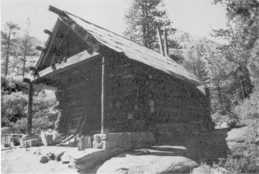
[click to enlarge] |
|
Illustration 256.
Interior of Lake Vernon cabin. Photos by Paul Cioyd, 1986. |
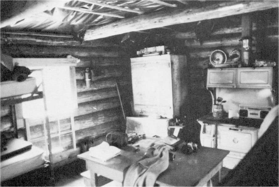
[click to enlarge] |
|
Illustration 257.
Snow Flat snow survey/patrol cabin. Photo by Robert C. Pavlik, 1984. |
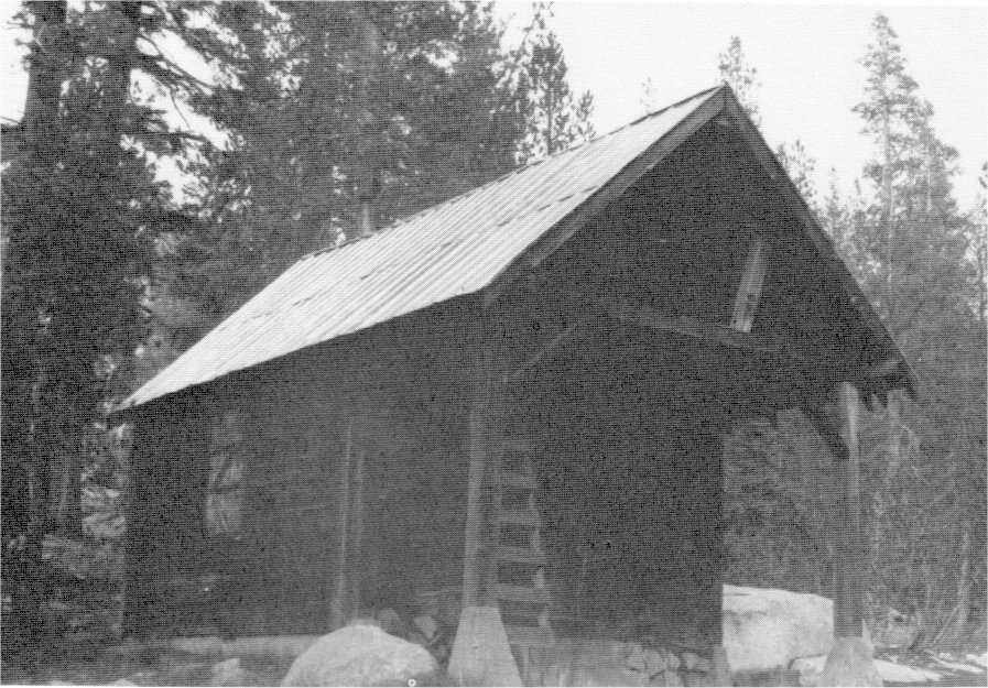
[click to enlarge] |
|
Illustration 258.
Ruins of Lake Wilmer snow survey/patrol cabin. Destroyed by avalanche in winter of 1985-86. Photo by Paul Cloyd, 1986. |
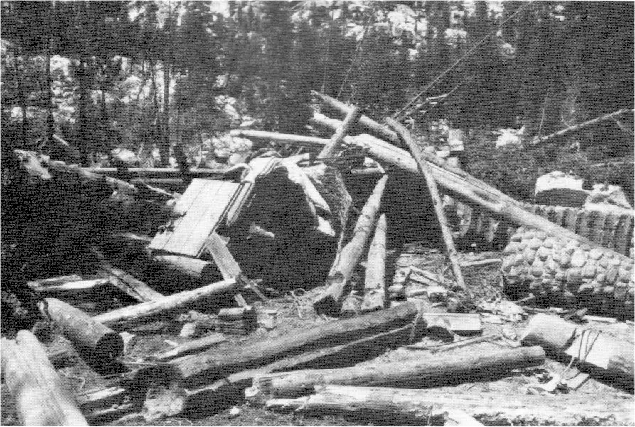
[click to enlarge] |
|
Illustration 259.
Sachse Springs snow survey/patrol cabin. |
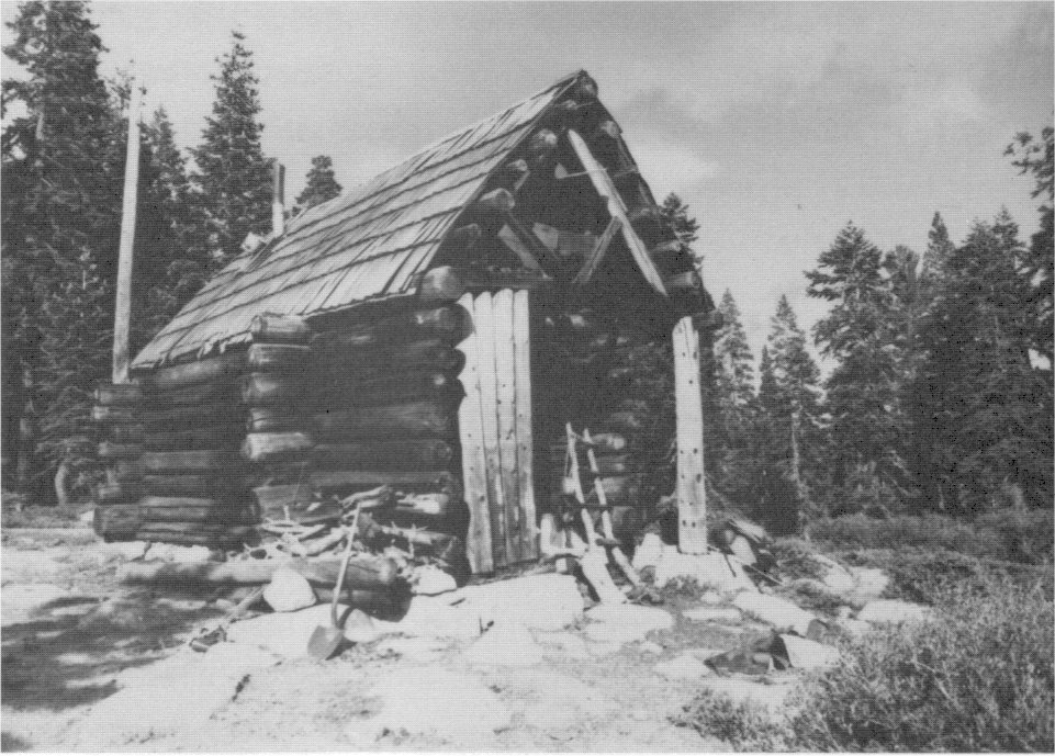
[click to enlarge] |
|
Illustration 260.
Interior of Sachse Springs cabin. Photos by Paul Cloyd, 1986. |
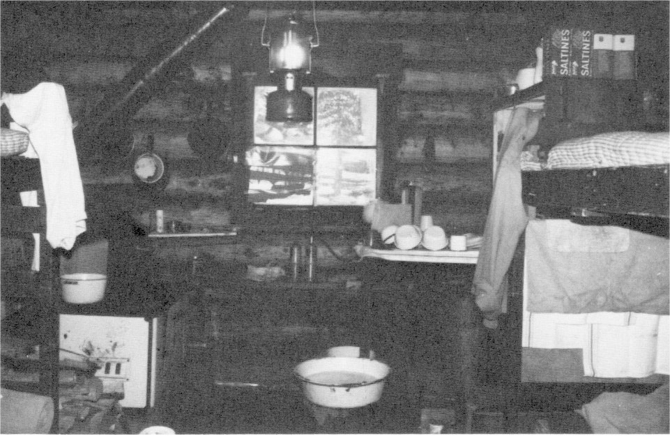
[click to enlarge] |
The narrative of the Historic Resource Study of Yosemite National Park ends at this point. Future historians will have the task of chronicling and assessing the more modern development, interpretation, and management of the park. It will not be an easy task. Research on Yosemite is stimulating and never ending, its fascination lying in the contemplation of human impacts since the 1860s and the never-ending quest for solutions to a variety of natural and cultural resource-related problems that seem to multiply according to the complexities and vagaries of modern society. Park management deserves our respect and admiration, its mission clear but its methods subject to intense scrutiny and often criticism.
Charles Goff Thomson, Yosemite superintendent from 1929 to 1937, ably summarized what seemed to be eternal natural resource management problems in the park:
Simplified to the ultimate terms, we face two rather conflicting necessities:
First, the National Park Service is controlled by an earnest determination to preserve the parks for posterity; every responsible officer is determined to turn over to the next generation a finer Yosemite than we inherited—a Yosemite not ruined by over-development, a Yosemite with all its natural features preserved, its wonderful forests unravaged, its wildlife influenced as little as possible, its wilderness as untouched as possible. There is no false conception that we can or should fix the character of its use permanently, for succeeding generations will know better how to adapt these priceless areas to their needs; but we owe it to future generations not to over-develop the area; not to mar any essential beauties; not to permit exploitation in any form; to safeguard against destructive nibbling processes. National parks are not Coney Islands, but distinctive idealistic American institutions. They are not resorts—not areas for promotion, but for conservation.
Our second responsibility, fully as important and more immediate, is to make Yosemite as useful as possible to the people of this generation, to enrich the lives of its users to the greatest possible extent. . . .129
[129. C. G. Thomson, Superintendent, “Yosemite National Park,” typescript, 7 pages, in Separates File, Yosemite Research Library and Records Center, 6.]
In addition, it is now recognized that natural park areas contain many prehistoric and historical resources that ought to be preserved. In a sense, they are more vulnerable than natural resources because they are nonrenewable. A historic structure, once demolished, is gone forever. Yosemite is, at least in a philosophical sense, the first and oldest of the world’s national parks. Its significant sites and works of man that reflect that epochal history and that possess integrity are an important part of our heritage and as worthy of preservation as the park’s animals, plant life, and geological wonders.
|
Illustration 261.
County library and residence (former post office), El Portal. |
[click to enlarge] |
|
Illustration 262.
El Portal post office. Photos by Robert C. Pavlik, 1985. |
[click to enlarge] |
|
Illustration 263.
El Portal chapel (former school). |
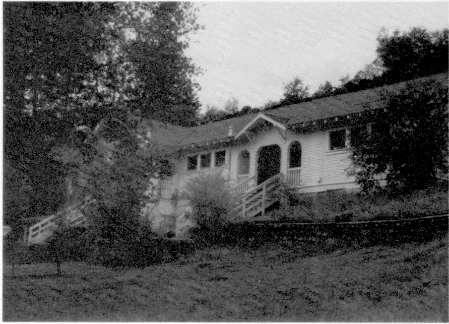
[click to enlarge] |
|
Illustration 264.
El Portal elementary school. Photos by Robert C. Pavlik, 1984-85. |
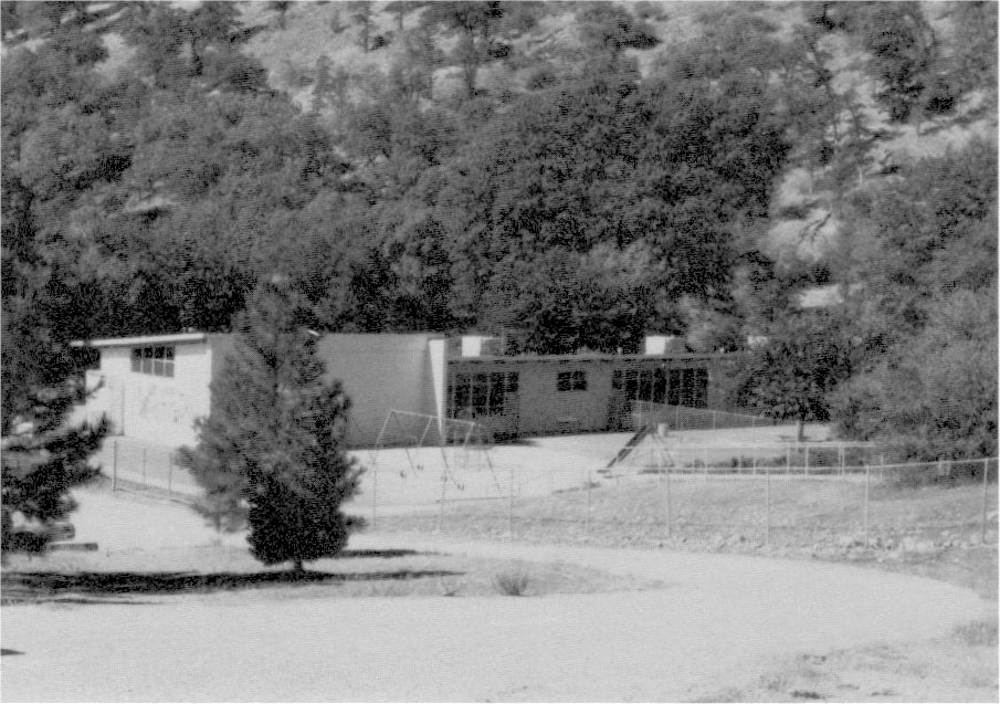
[click to enlarge] |
|
Illustration 265.
El Portal fire department. |
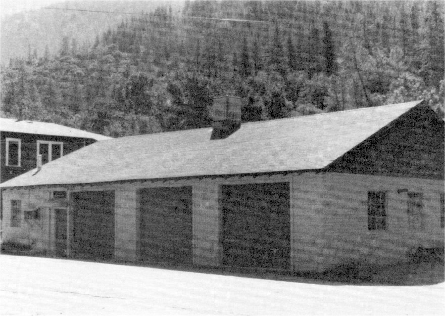
[click to enlarge] |
|
Illustration 266.
Carroll Clark Community Center, El Portal. Photos by Robert C. Pavlik, 1985. |
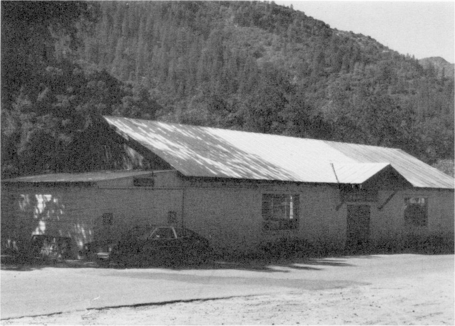
[click to enlarge] |
|
Illustration 267.
El Portal Hotel, to southeast (rear). Now used for employee housing by park and Yosemite Institute. Photos by Robert C. Pavlik, 1984, |
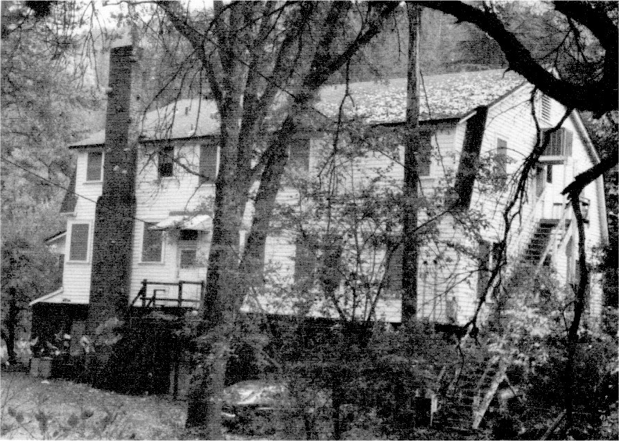
[click to enlarge] |
|
Illustration 268.
El Portal Hotel, to northwest. Photos by Robert C. Pavlik, 1984. |
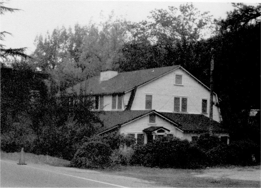
[click to enlarge] |
|
Illustration 269.
El Portal Market. |
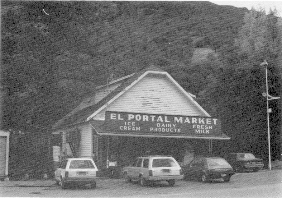
[click to enlarge] |
|
Illustration 270.
El Portal Motor Inn cabins, hotel in background. Photos by Robert C. Pavlik, 1984. |
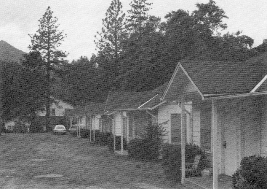
[click to enlarge] |
|
Illustration 271.
Rancheria Flat MISSION 66 housing, El Portal. |
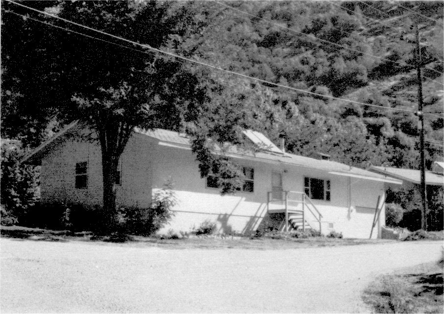
[click to enlarge] |
|
Illustration 272.
Chevron building across from post office, El Portal Photos by Robert C. Pavlik, 1985. |
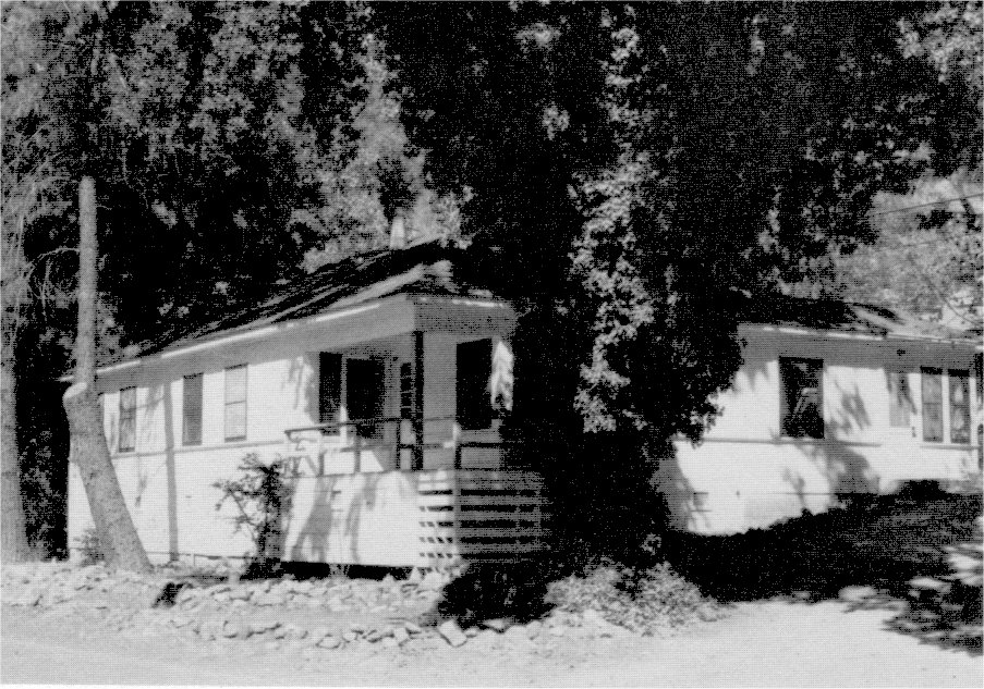
[click to enlarge] |
|
Illustration 273.
Old sewage treatment plant, El Portal. |
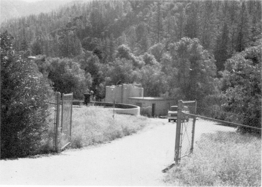
[click to enlarge] |
|
Illustration 274.
New wastewater treatment plant, El Portal. Photos by Robert C. Pavlik, 1985. |
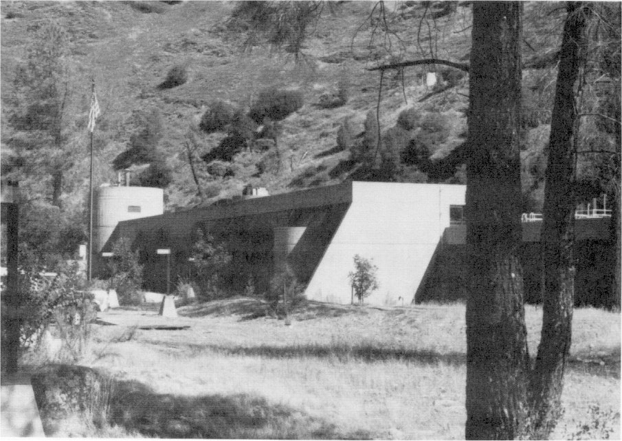
[click to enlarge] |
|
Illustration 275.
Ruins of Cuneo mill above wastewater treatment plant, El Portal. Photo by Gordon Chappell, ca. 1975. NPS, Western Regional Office files. |
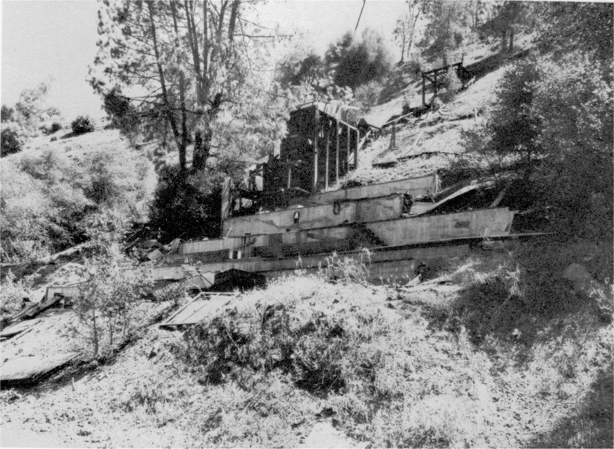
[click to enlarge] |
U. S. GOVERNMENT PRINTING OFFICE: 1987—773-038/60,006 REGION NO 8
Next: 7: Historical Resources • Contents • Previous: 5: NPS 1916-1930: Mather Years
| Online Library: | Title | Author | California | Geology | History | Indians | Muir | Mountaineering | Nature | Management |
http://www.yosemite.ca.us/library/yosemite_resources/recent_years.html
![[click to enlarge]](images/illustration_160.png)