[click to enlarge]
Lee Vining Canyon and the Lee Vining grade, looking toward Mono Craters
| Online Library: | Title | Author | California | Geology | History | Indians | Muir | Mountaineering | Nature | Management |
Yosemite > Library > Tioga Road > The East Side >
Next: Automobiles Arrive • Contents • Previous: Business Ventures
Even before the Great Sierra Wagon Road was completed, suggestions and surveys for routes down the eastern escarpment of the Sierra had been made. At first only horse trails over the Mt.
|
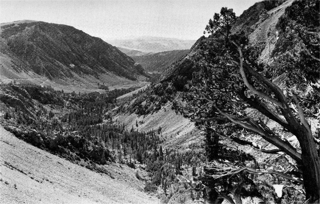
[click to enlarge] Lee Vining Canyon and the Lee Vining grade, looking toward Mono Craters |
Monies were forthcoming in 1899 and the Tioga Pass-Lee Vining line was selected. Construction began three years later. (77) By 1905 all but the five miles east of the pass had been finished. The cost— $39,000. One bid of $23,861 was received for the remaining section but work was delayed until an “understanding with the owners of the Tioga Road proper, regarding their non-resumption of the collection of toll” could be reached. (78)
The Sierra Club Bulletin of 1909 declared, “The new State road from Mono Lake to Tioga Lake was completed last summer and is reported to be a monument to the skill of the State engineers. It has a maximum grade of seven per cent, and is a good road for automobiles. The old Tioga road (not now available to autos) . . . should be repaired without delay, so as to afford one of the most wonderful trans-mountain trips in the world.” (79) Maps in 1910 Yosemite National Park booklets show the Tioga route as a through road to the east, despite the Park Superintendent’s warning that the “road is in wretched condition.” (80) In 1913 the California State engineer, asking if the Tioga Road was in condition for travel, noted that the east side road is “in excellent shape.” Major Littebrant’s reply was that “the Tioga Road through Yosemite National Park is impassable except for saddle animals.” (81) (82)
During 1939 and ’40 the Lee Vining Road between Tioga Pass and Lake Ellery was widened and realigned at a cost of $78,000. “The completion of this improvement is regarded locally as one of the highlights of the 80 years of man’s struggle against the barrier of the Sierra at this crossing.” (83) The State’s plans for the Lee Vining grade include realignment and widening. (84)
Next: Automobiles Arrive • Contents • Previous: Business Ventures
| Online Library: | Title | Author | California | Geology | History | Indians | Muir | Mountaineering | Nature | Management |
http://www.yosemite.ca.us/library/tioga_road/east_side.html